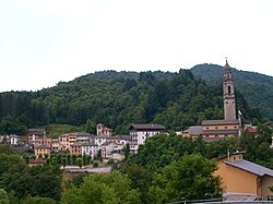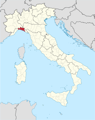
The province of Genoa was a province in the Liguria region of Italy. Its capital was the city of Genoa. It was replaced by Metropolitan City of Genoa.
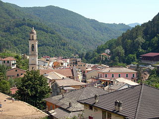
Borzonasca is a comune (municipality) in the Metropolitan City of Genoa in the Italian region Liguria, located about 35 km (22 mi) east of Genoa.
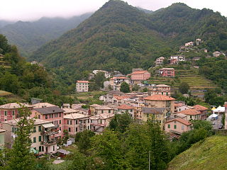
Favale di Malvaro is a comune (municipality) in the Metropolitan City of Genoa in the Italian region Liguria, located about 25 kilometres (16 mi) east of Genoa.
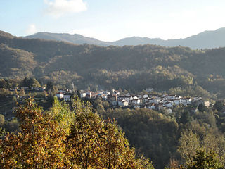
Fontanigorda is a comune (municipality) in the Metropolitan City of Genoa in the Italian region Liguria, located about 35 kilometres (22 mi) northeast of Genoa.

Lorsica is a comune (municipality) in the Metropolitan City of Genoa in the Italian region Liguria, located about 30 kilometres (19 mi) east of Genoa.

Moconesi is a municipality (comune) in the Metropolitan City of Genoa in the Italian region Liguria. The head-hamlet of Moconesi municipality is the village of Ferrada which is located about 40 kilometres (25 mi) northeast of Genoa and 1 kilometre (0.6 mi) from the house in Terrarossa, reportedly place of birth of Christopher Columbus.

Montebruno is a comune (municipality) in the Metropolitan City of Genoa in the Italian region Liguria, located about 30 kilometres (19 mi) northeast of Genoa.

Ne is a comune (municipality) in the Metropolitan City of Genoa in the Italian region Liguria, located in the Val Graveglia about 40 kilometres (25 mi) east of Genoa. It is formed by several distinct burghs, or frazioni.

Orero is a comune (municipality) in the Metropolitan City of Genoa in the Italian region Liguria, located about 30 kilometres (19 mi) east of Genoa.
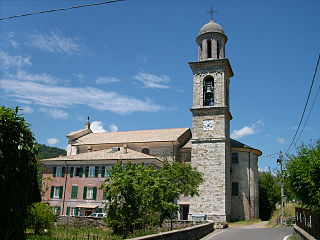
Rovegno is a comune (municipality) in the Metropolitan City of Genoa in the Italian region Liguria, located about 35 kilometres (22 mi) northeast of Genoa, in the Val Trebbia. Rovegno borders the following municipalities: Fascia, Fontanigorda, Gorreto, Ottone, Rezzoaglio.

San Colombano Certenoli is a comune (municipality) in the Metropolitan City of Genoa in the Italian region Liguria, located about 30 kilometres (19 mi) east of Genoa. It is the largest municipality in the Val Fontanabuona.

Santo Stefano d'Aveto is a comune (municipality) in the Metropolitan City of Genoa in the Italian region Liguria.
Ferriere is a comune (municipality) in the Province of Piacenza in the Italian region Emilia-Romagna, located about 150 kilometres (93 mi) west of Bologna and about 45 kilometres (28 mi) southwest of Piacenza, in the Val Nure of the Ligurian Apennines.
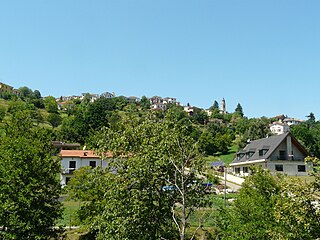
Tornolo is a comune (municipality) in the Province of Parma in the Italian region Emilia-Romagna, located about 140 kilometres (87 mi) west of Bologna and about 70 kilometres (43 mi) southwest of Parma.

The Aveto Natural Regional Park is a natural park in Metropolitan City of Genoa, in the Liguria region of northern Italy). It was established in 1995.
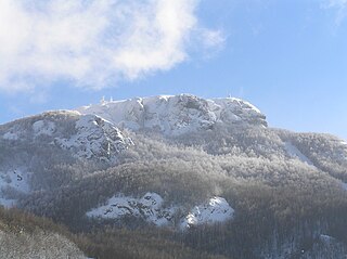
Monte Maggiorasca is a mountain on the border between Liguria and Emilia-Romagna, northern Italy.
The Val d'Aveto, or Aveto valley, straddles the Province of Genoa and the Province of Piacenza, between the Italian regions of Liguria and Emilia-Romagna. The river Aveto runs through the valley, to later join its waters with those of the Trebbia near the hamlet of Confiente. The upper, Ligurian part of the valley comprises the Comuni of Rezzoaglio and Santo Stefano d'Aveto; the lower, Emilian part of the valley is divided between Ferriere, Cerignale and Corte Brugnatella. Verdant and lush, characterized by pleasant sights, fresh and balmy summers and abundant snow in winter, the valley is flanked by forested mountains, culminating at the elevation of 1799 meters with Monte Maggiorasca.
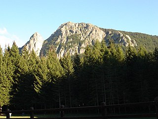
Monte Penna is a mountain (1,735 m) on the border between Liguria and Emilia-Romagna, northern Italy, part of the Ligurian Apennines. It is included in the Natural Regional Park of the Aveto, and overlooks the Val di Taro; the sources of both the Taro and Ceno Rivers are located in Monte Penna's slope.

The Metropolitan City of Genoa is a metropolitan city in the Liguria region of Italy. Its capital is the city of Genoa. It replaced the province of Genoa.

Mount Bue is a mountain in the Ligurian Apennines that is part of the Maggiorasca mountain group, located on the watershed between the Aveto, Ceno and Nure valleys, on the border between the metropolitan city of Genoa and the provinces of Parma and Piacenza, between the municipalities of Santo Stefano d'Aveto, Bedonia and Ferriere. It is the second highest peak in the Ligurian Apennines, after nearby Mount Maggiorasca and the highest peak in the province of Piacenza.
