Rosebud | |
|---|---|
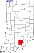 Washington County's location in Indiana | |
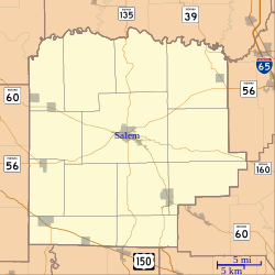 Rosebud Location of Rosebud in Washington County | |
| Coordinates: 38°31′40″N86°12′43″W / 38.52778°N 86.21194°W | |
| Country | United States |
| State | Indiana |
| County | Washington |
| Township | Howard |
| Elevation | 774 ft (236 m) |
| Time zone | UTC-5 (Eastern (EST)) |
| • Summer (DST) | UTC-4 (EDT) |
| ZIP code | 47167 |
| Area codes | 812, 930 |
| GNIS feature ID | 442302 [1] |
Rosebud is an unincorporated community in Howard Township, Washington County, in the U.S. state of Indiana. [1]
