Rosersberg | |
|---|---|
 | |
 Rosersberg  Rosersberg 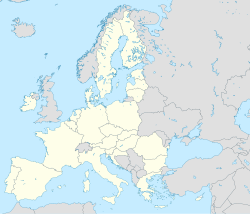 Rosersberg | |
| Coordinates: 59°35′N17°53′E / 59.583°N 17.883°E | |
| Country | Sweden |
| Province | Uppland |
| County | Stockholm County |
| Municipality | Sigtuna Municipality |
| Area | |
• Total | 1.84 km2 (0.71 sq mi) |
| Population (31 December 2020) [2] | |
• Total | 1,829 |
| • Density | 990/km2 (2,600/sq mi) |
| Time zone | UTC+1 (CET) |
| • Summer (DST) | UTC+2 (CEST) |
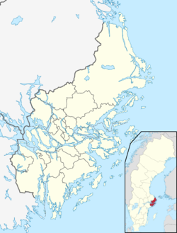
Rosersberg is a locality situated in Sigtuna Municipality, Stockholm County, Sweden with 1,671 inhabitants in 2010. [1]
It grew up around a railway station and got its name from the nearby Rosersberg Palace, one of the royal palaces of Sweden. Rosersberg has a station of the Stockholm commuter rail system.