Abitibi Regional County Municipality is a regional county municipality in the Abitibi-Témiscamingue region of Quebec. The seat is Amos.

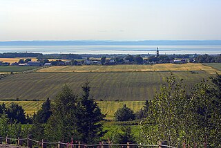
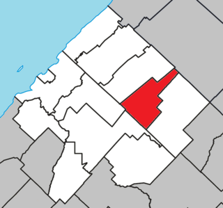
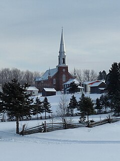
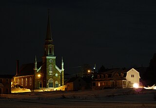
Saint-Éloi is a parish municipality in the region of Bas-Saint-Laurent, Quebec, Canada. Its population was 286 in the Canada 2016 Census.

Beauharnois-Salaberry is a regional county municipality in the Montérégie region of Quebec, Canada. Its seat is Beauharnois.

Bonaventure is a regional county municipality in the Gaspésie–Îles-de-la-Madeleine region of eastern Quebec, Canada, on the Gaspé Peninsula. Its seat is New Carlisle.

Les Maskoutains is a regional county municipality in the Montérégie region in southwestern Quebec, Canada. Its seat is in Saint-Hyacinthe.

Rimouski-Neigette is a regional county municipality in the Bas-Saint-Laurent region of Quebec, Canada.

Témiscamingue is a regional county municipality in the Abitibi-Témiscamingue region of western Quebec, Canada. The county seat is Ville-Marie.

Saint-Constant is a city in southwestern Quebec, Canada. It is located on the south shore of Montreal in the Roussillon Regional County Municipality of the Montérégie region. The population as of the Canada 2016 Census was 27,359.

Le Haut-Saint-Laurent(Upper Saint Lawrence) is a regional county municipality in southwestern Quebec, Canada, in the Montérégie region. Its seat is in Huntingdon and it is named for the Saint Lawrence River which forms its western and northwestern boundary.

Saint-Clément is a municipality in the Canadian province of Quebec, located in Les Basques Regional County Municipality in the Bas-Saint-Laurent region.

Saint-Mathieu is a municipality situated in the Montérégie administrative region in Quebec, Canada. The population as of the Canada 2011 Census was 1,879. It is part of the Roussillon Regional County Municipality.

Calixa-Lavallée, named for the composer of the same name, is an off-island suburb of Montreal, in southwestern Quebec, Canada, east of Montreal in the Marguerite-D'Youville Regional County Municipality. The population as of the Canada 2011 Census was 504.

Saint-Sulpice is a municipality in the Lanaudière region of Quebec, Canada, part of the L'Assomption Regional County Municipality. It is located on the north shore of the Saint Lawrence River and includes most of Verchères Islands.

Saint-François-de-l'Île-d'Orléans is a municipality in the Capitale-Nationale region of Quebec, Canada, part of the L'Île-d'Orléans Regional County Municipality. The village is situated on the north-eastern tip of Orléans Island, and the municipality also includes the Madame and Ruau Islands, part of the Montmagny Archipelago.

Saint-Siméon is a parish municipality in Quebec, Canada. It is also sometimes called Saint-Siméon-de-Bonaventure to avoid confusion with Saint-Siméon in the Capitale-Nationale region.

Saint-Jean-de-Dieu is a municipality in Quebec, Canada. The municipality had a population of 1,606 in the Canada 2011 Census.

Saint-Médard is a municipality in Quebec, Canada.

Sainte-Françoise is a parish municipality in the Bas-Saint-Laurent region of Quebec, Canada.

Saint-Simon is a parish municipality in the Les Basques Regional County Municipality in the Bas-Saint-Laurent region of Quebec, Canada. Its population in the Canada 2011 Census was 438.

Matane is a town on the Gaspé Peninsula in Quebec, Canada, on the south shore of the Saint Lawrence River at the mouth of the Matane River. The town is the seat for the La Matanie Regional County Municipality.


