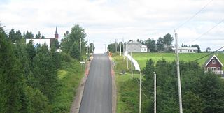
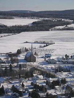
| Saint-René-de-Matane | |
|---|---|
| Municipality | |
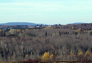
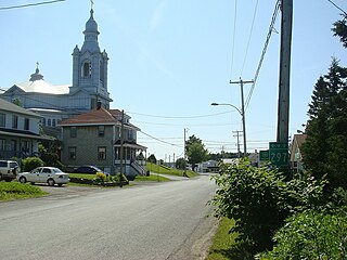
Jean-Chassé covered bridge | |
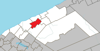
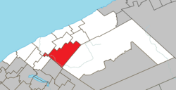 Location within La Matanie RCM. | |
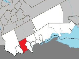
 Saint-René-de-Matane Location in eastern Quebec. | |
| Coordinates: 48°42′N67°23′W / 48.700°N 67.383°W Coordinates: 48°42′N67°23′W / 48.700°N 67.383°W [1] | |
| Country | |
| Province | |
| Region | Bas-Saint-Laurent |
| RCM | La Matanie |
| Constituted | December 18, 1982 |
| Government [2] | |
| • Mayor | Roger Vaillancourt |
| • Federal riding | Haute-Gaspésie—La Mitis—Matane—Matapédia |
| • Prov. riding | Matane-Matapédia |
| Area [2] [3] | |
| • Total | 256.20 km2 (98.92 sq mi) |
| • Land | 255.39 km2 (98.61 sq mi) |
| Population (2011) [3] | |
| • Total | 1,089 |
| • Density | 4.3/km2 (11/sq mi) |
| • Pop 2006-2011 | |
| • Dwellings | 639 |
| Time zone | EST (UTC−5) |
| • Summer (DST) | EDT (UTC−4) |
| Postal code(s) | G0J 3E0 |
| Area code(s) | 418 and 581 |
| Highways | |
| Website | www.municipalite. st-rene-matane.qc.ca |

Saint-René-de-Matane is a municipality in Quebec, Canada.

Quebec is one of the thirteen provinces and territories of Canada. It is bordered to the west by the province of Ontario and the bodies of water James Bay and Hudson Bay; to the north by Hudson Strait and Ungava Bay; to the east by the Gulf of Saint Lawrence and the province of Newfoundland and Labrador; and to the south by the province of New Brunswick and the U.S. states of Maine, New Hampshire, Vermont, and New York. It also shares maritime borders with Nunavut, Prince Edward Island, and Nova Scotia. Quebec is Canada's largest province by area and its second-largest administrative division; only the territory of Nunavut is larger. It is historically and politically considered to be part of Central Canada.
Contents
In addition to main population centre of Saint-René located along Quebec Route 195, the municipality also includes the communities of Le Renversé, Rivière-Matane, Ruisseau-Gagnon, and Village-à-Dancause.
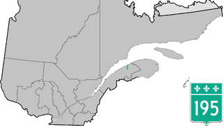
Route 195 is an 87 km two-lane north/south highway in Quebec, Canada, which starts in Matane at the junction of Route 132 and ends in Saint-Zénon-du-Lac-Humqui. The highway acts mainly as a shortcut between Matane and the southern section of Route 132 which leads to the Matapédia River Valley and the southern part of the Gaspé Peninsula.