Related Research Articles

Blakenhall is a suburb and ward in Wolverhampton, England.
Graiseley is both an inner-city area of Wolverhampton, situated immediately to the south-west of the city centre, and the name of a ward of Wolverhampton City Council.
Goldthorn Park is a suburb of Wolverhampton, West Midlands. It is situated to the south of the city centre within the Blakenhall ward.
Aldersley is a small suburb of Wolverhampton, West Midlands, England. It is north-west of Wolverhampton city centre, within the Tettenhall Regis ward. Aldersley is a relatively modern part of Wolverhampton, with most of the housing stock – both private and council – dating from after World War II.
Bilston North is a ward of Wolverhampton City Council, West Midlands. As its name suggests, it covers the northern parts of the town of Bilston, such as Bunkers Hill, Portobello. It borders the Bilston East, Ettingshall and East Park wards, and the Metropolitan Borough of Walsall. It forms part of the Wolverhampton South East constituency.

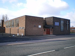
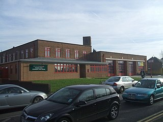
Ettingshall is an area of Wolverhampton, West Midlands, England, and is a ward of Wolverhampton City Council. The population of this ward taken at the 2011 census was 13,482.
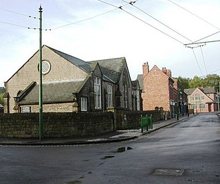
All Saints is an inner city area of Wolverhampton, West Midlands, England. It is situated immediately to the south-east of the city centre, in the city council's Ettingshall ward.
Deansfield is an area of Wolverhampton, West Midlands, England. It is situated in the city council's East Park ward, to the east of the city centre.
Wednesfield North is a ward of Wolverhampton City Council, West Midlands. As the name suggests, it covers the northern parts of the town of Wednesfield. It borders the Wednesfield South, Heath Town and Fallings Park wards, as well as South Staffordshire and the Metropolitan Borough of Walsall. It forms part of the Wolverhampton North East constituency.
Portobello is an area in Willenhall on the Wolverhampton side of the border, in the West Midlands, England. It is situated to the east of the city centre and to the north of Bilston, in the Bilston North ward of the city council. It was formerly part of Willenhall Urban District before Willenhall was split between Walsall and Wolverhampton.
Fallings Park is a suburb of Wolverhampton, West Midlands, and a ward of Wolverhampton City Council. It is situated in the northeast of the city, bordering South Staffordshire and the Wednesfield North, Heath Town, Bushbury South and Low Hill and Bushbury North wards. It forms part of the Wolverhampton North East constituency. Fallings Park ward covers over 5,000 properties in the following areas: Longknowle, Newbolds, Scotlands, Underhill, Willows. The population of the Wolverhampton Ward taken at the 2011 census was 12,410.
Old Fallings is a suburb of Wolverhampton, West Midlands, England. It is north-east of Wolverhampton city centre, within the Fallings Park ward. It mostly consists of interwar council housing.
St George's and Priorslee is a civil parish in the borough of Telford and Wrekin, Shropshire, England. St. George's and Priorslee are suburbs of Telford. The parish had a population of 11,033 at the 2011 census, and has an area of 2.05 sq mi (5.30 km2).
Bentley is an area in the Metropolitan Borough of Walsall located around Junction 10 of the M6 Motorway. It is also a rural village of houses towards its eastern sides. It shares borders with the areas of Willenhall, Beechdale, Ashmore Park, Pleck, Darlaston and Alumwell.
Coseley Urban District was a local government district in Staffordshire which was created in 1894.
The Lunt is a residential area of Bilston within the city of Wolverhampton and is part of the West Midlands conurbation in England.
Wolverhampton Street School was a secondary school located in Dudley, Worcestershire, England.
Eve Hill is a residential area of Dudley in the West Midlands of England. It was part of Worcestershire until 1966 and briefly part of Staffordshire until 1974.
City of Wolverhampton College is a further education college located in Wolverhampton, West Midlands, England.
University of Wolverhampton Wednesfield Academy is a mixed secondary school and sixth form located in the Wednesfield area of Wolverhampton in the West Midlands of England.
References
Coordinates: 52°36′45″N2°06′11″W / 52.6125°N 2.1031°W
| | This England-related article is a stub. You can help Wikipedia by expanding it. |