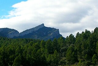
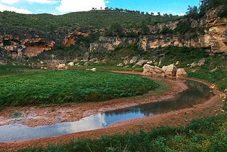
| Serra del Tallat | |
|---|---|
 Serra del Tallat Location in Catalonia | |
| Highest point | |
| Elevation | 802 m (2,631 ft) |
| Coordinates | 41°28′07″N01°06′46″E / 41.46861°N 1.11278°E Coordinates: 41°28′07″N01°06′46″E / 41.46861°N 1.11278°E |
| Geography | |
| Location | Conca de Barberà, Urgell Catalonia |
| Parent range | Catalan Central Depression |
| Climbing | |
| First ascent | Unknown |
| Easiest route | Drive from Els Omells de na Gaia or Espluga de Francolí to Senan, then hike |
Serra del Tallat is a mountain range of the Catalan Central Depression, Catalonia, Spain. It has an elevation of 802 metres above sea level. [1]

The Catalan Central Depression is a natural depression between the Pre-Pyrenees and the Catalan Pre-Coastal Range in Spain. It widens towards the west, linking with the Ebro Depression, Catalan: Depressió de l'Ebre, of which it could be considered an eastern extension. The Catalan Central Depression is about 180 km long with an average width of 50 km.

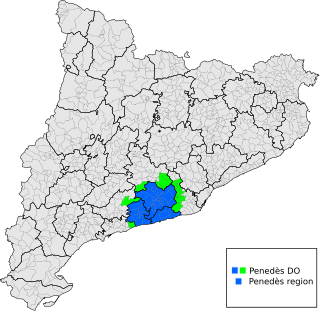
Catalonia is an autonomous community in Spain on the northeastern corner of the Iberian Peninsula, designated as a nationality by its Statute of Autonomy. Catalonia consists of four provinces: Barcelona, Girona, Lleida, and Tarragona. The capital and largest city is Barcelona, the second-most populated municipality in Spain and the core of the sixth most populous urban area in the European Union. It comprises most of the territory of the former Principality of Catalonia. It is bordered by France (Occitanie) and Andorra to the north, the Mediterranean Sea to the east, and the Spanish autonomous communities of Aragon to the west and Valencia to the south. The official languages are Catalan, Spanish, and the Aranese dialect of Occitan.

Spain, officially the Kingdom of Spain, is a country mostly located on the Iberian Peninsula in Europe. Its territory also includes two archipelagoes: the Canary Islands off the coast of Africa, and the Balearic Islands in the Mediterranean Sea. The African enclaves of Ceuta and Melilla make Spain the only European country to have a physical border with an African country (Morocco). Several small islands in the Alboran Sea are also part of Spanish territory. The country's mainland is bordered to the south and east by the Mediterranean Sea except for a small land boundary with Gibraltar; to the north and northeast by France, Andorra, and the Bay of Biscay; and to the west and northwest by Portugal and the Atlantic Ocean.
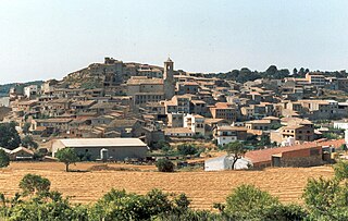
The highest summit of the Serra del Tallat is the Tossal Gros de Vallbona; it is located between the municipal limits of Espluga de Francolí, Conca de Barberà and Vallbona de les Monges, Urgell.
Tossal Gros de Vallbona is a mountain of the Catalan Central Depression, Catalonia, Spain. It has an elevation of 802 metres above sea level.

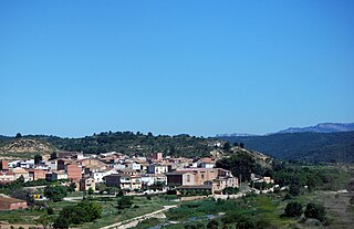
Conca de Barberà is a comarca (county) in the province of Tarragona, Catalonia, Spain. Its total area is 650.24 km2 (251.1 sq mi). At its creation in 1936, it contained 23 municipalities, but in 1990, several of these were amalgamated; Rojals was combined with Montblanc, and Montbrió de la Marca was amalgamated with Sarral. Also in 1990, Vallfogona de Riucorb was moved from the Segarra comarca. This resulted in the current total of 22 municipalities.

Vallbona de les Monges is a municipality in the comarca of the Urgell in Catalonia, Spain. It is located at the southern end of the comarca, north of the Serra del Tallat, Catalan Pre-Coastal Range, where many wind turbines have been installed.