Smith or Smiths Turnout is an unincorporated community in southern York County, South Carolina located south of Rock Hill and northwest of Edgemoor near the Chester County line. The elevation of Smith is 531 feet.

Pine Valley is a community and census-designated place (CDP) in the Cuyamaca Mountains of the Mountain Empire area, in southeastern San Diego County, California. The population was 1,510 at the 2010 census, up from 1,501 at the 2000 census.

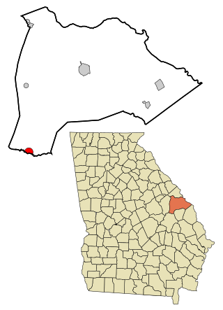
Midville is a city in Burke County, Georgia, United States. The population was 269 at the 2010 census. It is part of the Augusta, Georgia metropolitan area.
Hays is a census-designated place (CDP) in Wilkes County, North Carolina, United States. The population was 1,595 at the 2020 census. North Wilkes High School, one of Wilkes County's four public high schools, is located in Hays.
Stanaford is a census-designated place (CDP) and coal town in Raleigh County, West Virginia, United States. The population was 1,350 at the 2010 census.

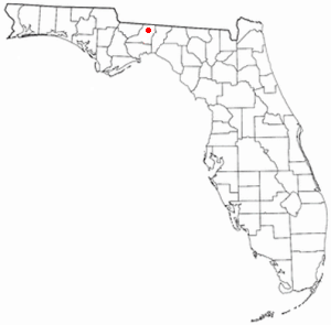
Felkel is an unincorporated community in Leon County, Florida, United States. It is the town that Bradley’s Country Store is located in, which is a country store locate southwest of the town Felkel
Centerville is an unincorporated community in New Castle County, Delaware, United States. Centerville is now known primarily for being the location of Du Pont family estates, as well as several other wealthy business families from nearby Wilmington, and the home of Governor Jack Markell.
Burning Springs is an unincorporated community in Clay County, Kentucky, United States. It is located along U.S. Route 421 by its junction with Kentucky Route 472. It has one school, Burning Springs Elementary. It is about 4 miles from Jackson County but about 7 miles from Manchester, the county seat.
The Village of Holly Bluff is a small unincorporated community in Yazoo County, Mississippi.
Deming is an unincorporated community in Jackson Township, Hamilton County, Indiana.
Tilden is an unincorporated community in Middle Township, Hendricks County, Indiana.
Virgie is an unincorporated community in Union Township, Jasper County, Indiana.
Jaskółki is a village in the administrative district of Gmina Masłowice, within Radomsko County, Łódź Voivodeship, in central Poland. It lies approximately 27 kilometres (17 mi) east of Radomsko and 81 km (50 mi) south of the regional capital Łódź.
Hopewell is an unincorporated community in Leon County, Texas, United States. It lies at an elevation of 410 feet (120 m).
Brenner is an unincorporated community in Wayne Township, Doniphan County, Kansas, United States.
Brightstar is an unincorporated community in Miller County, Arkansas, United States.
New Hope is an unincorporated community in the southeast corner of Franklin Township, Owen County, in the U.S. state of Indiana. It lies near the intersection of County Road 740 South and County Road 285 West, which is a community about nine miles southwest of the city of Spencer, the county seat. Its elevation is 522 feet, and it is located at 39°10′59″N86°49′40″W.
Bartonia is an unincorporated community in Wayne Township, Randolph County, in the U.S. state of Indiana.
Camp is an unincorporated community in Pike County, in the U.S. state of Ohio.
Kurreville is an unincorporated community in Cape Girardeau County, in the U.S. state of Missouri.
Ohlman is an unincorporated community in western Reynolds County, in the U.S. state of Missouri. The community is located at the intersection of Missouri routes 72 and TT approximately five miles southeast of Bunker and 2.5 miles northwest of Reynolds.