
West Bromwich, commonly known as West Brom, is a market town in the borough of Sandwell, West Midlands, England. Historically part of Staffordshire, it is 7 miles northwest of Birmingham. West Bromwich is part of the area known as the Black Country, in terms of geography, culture and dialect. West Bromwich had a population of 103,112 in the 2021 Census.

Sandwell Valley RSPB reserve is a nature reserve, run by the RSPB, in Sandwell Valley, to the north of West Bromwich, in the Sandwell borough of West Midlands in England. It is adjacent to, and shares its main lake with, Sandwell Valley Country Park and near the settlement of Hamstead.
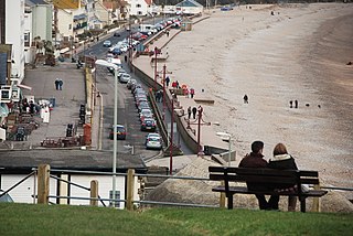
Seaton is a seaside town, fishing harbour and civil parish in East Devon on the south coast of England, between Axmouth and Beer. It faces onto Lyme Bay and is on the Jurassic Coast, a World Heritage Site. A sea wall provides access to the mostly shingle beach stretching for about a mile, and a small harbour on the River Axe estuary.
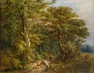
Sandwell Valley is an area of green belt in the county of West Midlands, England, on the border of Birmingham and West Bromwich, with Walsall at its northern end.
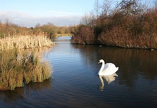
Sandwell Valley Country Park is a country park, run by Sandwell Metropolitan Borough Council, in Sandwell Valley, on the River Tame in the middle of the urban conurbation between Birmingham and West Bromwich in West Midlands, England.
Hornchurch Country Park is a 104.5-hectare park on the former site of Hornchurch Airfield, south of Hornchurch in the London Borough of Havering, east London.

Loynton Moss is a nature reserve of the Staffordshire Wildlife Trust, near the village of Woodseaves, in Staffordshire, England. It is adjacent to the Shropshire Union Canal, as it runs from nearby Norbury to High Offley.
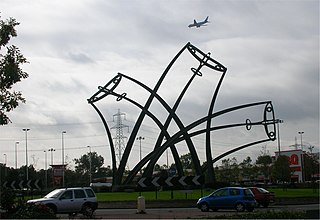
Tim Tolkien is an English sculptor who has designed several monumental sculptures, including the award-winning Sentinel.

Chailey is a village and civil parish in the Lewes District of East Sussex, England. It is located 7 miles north of Lewes, on the A272 road from Winchester to Canterbury. The Prime Meridian passes just to the east of Chailey.
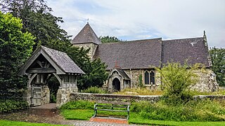
East Chiltington is a village and civil parish in the Lewes District of East Sussex, England. It is centred four miles (5.9 km) south-east of Burgess Hill and five miles (8 km) north-west of Lewes. It is a strip parish of 3.76 square miles (9.7 km2), stretching northward from the crest of the South Downs. The village church is 13th century in origin; the vicar also has charge of two churches in Plumpton. Near the church there is a pub called The Jolly Sportsman. The Sussex Greensand Way, a Roman road, runs from east to west through the centre of the parish.
Ansty and Staplefield, previously Cuckfield Rural, is a civil parish in the Mid Sussex District of West Sussex, England, covering an area from the north-west side of Burgess Hill, the whole lying around but mostly to the west of Cuckfield civil parish, from which it was created in 1894 under the Local Government Act 1894. It includes the settlements of Ansty in the south, Staplefield to the north-west and Brook Street to the north-east. It is the largest civil parish in West Sussex, covering an area of 3,869 hectares (14.94 sq mi), and has a population of 1574, increasing to 1,756 at the 2011 Census.
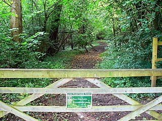
Lower Woods is a 280.1-hectare (692-acre) biological and geological Site of Special Scientific Interest near the village of Wickwar, South Gloucestershire, notified in 1966 and renotified in 1985. The site area has increased at last revision in 1974 to a 284.1-hectare (702-acre) site. The site is a nature reserve managed by the Gloucestershire Wildlife Trust.

Tile Hill Wood is a wood between Hawthorn Lane and Banner Lane in the Tile Hill area of Coventry, England. It has been designated as a Site of Special Scientific Interest and a Local Nature Reserve. It is stewarded by the Coventry and District Natural History and Scientific Society. It is a mixed deciduous and coniferous woodland covering 69.92 acres (28.30 ha), with examples of Norway Spruce, European Larch and Hazel coppice, together with Sycamore, Oak, Spruce, Birch, Chestnut, Ash and Pine.

Palmers Rough is a local nature reserve and park located in Shirley, Solihull. It covers an area of approximately 7.3 hectares and consists of two separate woodland blocks; Palmers Coppice to the east, and Squires Coppice to the west. They are separated by open grassland and include for two football pitches and a small children's playground. A wide range of plants and animals makes Palmers Rough an important urban space and was therefore granted local nature reserve status in 2000. The presence of Palmers Rough is noted within the Domesday Book, and suggests that the woodland dates back over 900 years.
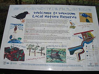
Wensum Local Nature Reserve or Wensum Valley is a Local Nature Reserve in Norwich in the English county of Norfolk. The reserve consists of two sites; Mile Cross Marsh52.6419°N 1.2657°E and Sycamore Crescent Wood which are linked by the Riverside Path a public footpath via the Sycamore Crescent footbridge

Dymock Woods is a 53-hectare (130-acre) biological Site of Special Scientific Interest in Gloucestershire, notified in 1990. The site is listed in the 'Forest of Dean Local Plan Review' as a Key Wildlife Site (KWS).
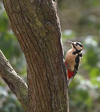
Five Acre Grove is a 5-hectare (12-acre) nature reserve in Leonard Stanley, Gloucestershire. The site is listed in the 'Cotswold District' Local Plan 2001-2011 as a Key Wildlife Site (KWS).
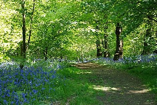
Saltwells Local Nature Reserve is situated in the Netherton area of Dudley Metropolitan Borough in West Midlands, England. The reserve, created in 1981, covers 247 acres and includes Saltwells Wood and part of Netherton Hill within its boundaries. The reserve encloses two Sites of Special Scientific Interest and one scheduled ancient monument.

Mar Field Fen is a Site of Special Scientific Interest, or SSSI, north of Masham, North Yorkshire, England, in a rural area known as Marfield. It is situated on land containing woodland carr, fen, spring-fed marshy grassland and drier calcareous grassland, between the River Ure to the east and Marfield Wetland nature reserve to the west. As "one of the best examples of fen habitat in the Vale of York," it is a protected habitat for a variety of plants, including the common butterwort, a carnivorous plant. There is no public access to this site.

Forge Mill Lake is a local nature reserve in Sandwell Valley, near West Bromwich in West Midlands, England. It is within Sandwell Valley Country Park.


