
Interstate 81 (I-81) is a north–south Interstate Highway in the eastern part of the United States. Its southern terminus is at I-40 in Dandridge, Tennessee; its northern terminus is on Wellesley Island, New York at the Canadian border, where the Thousand Islands Bridge connects it to Highway 137 and ultimately to Highway 401, the main Ontario freeway connecting Detroit via Toronto to Montreal. The major metropolitan areas along the route of I-81 include the Tri-Cities of Tennessee; Roanoke in Virginia; Harrisburg and the Wyoming Valley in Pennsylvania; and Syracuse in New York.
Roberts County is a county in the U.S. state of South Dakota. As of the 2020 census, the population was 10,280. Its county seat is Sisseton. The county was named either for S. G. Roberts of Fargo, North Dakota, or for Solomon Robar, an early local French fur trader. It was created on March 8, 1883, and fully organized by August 6 of that year. Its boundary was altered once, in 1885.

U.S. Route 12 or U.S. Highway 12 (US 12) is an east–west United States Numbered Highway, running from Aberdeen, Washington, to Detroit, Michigan, for almost 2,500 miles (4,000 km). The highway has mostly been superseded by Interstate 90 (I-90) and I-94, but, unlike most U.S. Highways that have been superseded by an Interstate, US 12 remains as an important link for local and regional destinations. The highway's western terminus in Aberdeen is at an intersection with US 101, while the highway's eastern terminus in Downtown Detroit is at the corner of Michigan and Cass avenues, near Campus Martius Park.

U.S. Route 10 or U.S. Highway 10 (US 10) is an east–west United States Numbered Highway located in the Midwest and Great Lakes regions of the U.S. Unlike most U.S. Highways with "0" as the last digit of its route number, US 10 is not a cross-country highway. US 10 was one of the original long-haul highways, running from Detroit, Michigan, to Seattle, Washington, but then lost much of its length when new Interstate Highways were built on top of its right-of-way.

U.S. Route 14 or U.S. Highway 14 (US 14), an east–west route, is one of the original United States Numbered Highways of 1926. It currently has a length of about 1,445 miles (2,326 km), for much of which it runs roughly parallel to Interstate 90 (I-90).

U.S. Route 81 or U.S. Highway 81 (US 81) is a major north–south U.S. highway that extends for 1,220 miles (1,960 km) in the central United States and is one of the original United States Numbered Highways established in 1926 by the American Association of State Highway Officials.

Interstate 481 (I-481) is an auxiliary Interstate Highway that serves as an eastern bypass of Syracuse, New York, in the US. It begins at its parent, I-81, in the city's southern end and travels through the eastern Syracuse suburbs of Jamesville, DeWitt, and Cicero before rejoining I-81 in the suburb of North Syracuse. Upon crossing I-81 in North Syracuse, I-481 continues northwest to Fulton and Oswego as New York State Route 481 (NY 481). I-481 is part of the Veterans Memorial Highway, which extends northward onto NY 481.
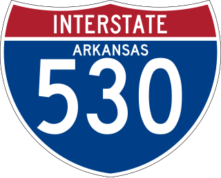
Interstate 530 (I-530) in Arkansas is a spur route of the Interstate highway system, traveling 46.65 miles (75.08 km) from Pine Bluff north-northwest to Little Rock at an interchange of I-30/I-440/U.S. Highway 65 (US 65)/US 67/US 167. The highway also travels through the cities of Redfield and White Hall. In the future, I-530 will be extended to I-69 west of Monticello. A short section near the future I-69 alignment has been signed as Highway 530 (AR 530).
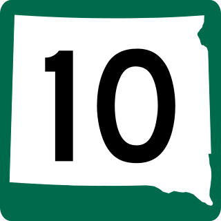
South Dakota Highway 10 (SD 10) is a 175.945-mile (283.156 km) state highway in the north-central and northeastern portions of South Dakota, United States. It connects SD 1804 in Pollock with the Minnesota state line southeast of Sisseton.

Interstate 81 (I-81) in the US state of West Virginia crosses the Eastern Panhandle region, linking Virginia to Maryland. The Interstate Highway, completed in 1966, spans 26 miles (42 km) through Berkeley County, paralleling U.S. Route 11 (US 11) for its entire length. I-81 enters the state near Ridgeway, travels northeast, bypassing the city of Martinsburg, and leaves the state at the Potomac River, which serves as the state line. The first solicitations for the construction of I-81 were published in 1959, with the first six miles (9.7 km) of freeway being opened in 1963, and the full length was completed by 1966. On average, between 45,000 and 60,000 vehicles use the freeway through the panhandle per day.
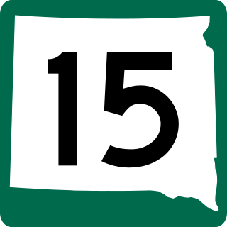
South Dakota Highway 15 (SD 15) is a 67.562-mile-long (108.730 km) state highway in the northeastern South Dakota, United States. It connects Clear Lake, Milbank, and Wilmot.
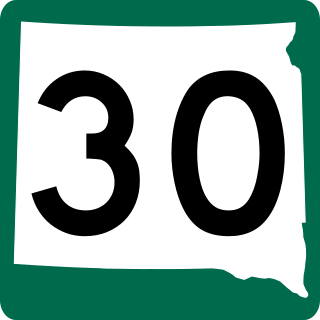
South Dakota Highway 30 (SD 30) is a 17.077-mile-long (27.483 km) state highway in the east-central part of the U.S. state of South Dakota. It connects the north-central part of Brookings with the northeastern part of it.

U.S. Route 281 (US 281) is a United States Numbered Highway that runs from the Mexican border in the Rio Grande Valley to the Canadian border near Dunseith, North Dakota. In the state of Texas, the highway is a major south–north corridor, connecting Brownsville to the Oklahoma state line at the Red River in Burkburnett. Several segments of U.S. 281 are concurrent with Interstate routes, including I-69C in the Rio Grande Valley, I-37 in San Antonio, and I-44 north of Wichita Falls.

In the US state of Iowa, Interstate 29 (I-29) is a north–south Interstate Highway which closely parallels the Missouri River. I-29 enters Iowa from Missouri near Hamburg and heads to the north-northwest through the Omaha–Council Bluffs and the Sioux City areas. It exits the state by crossing the Big Sioux River into South Dakota. For its entire distance through the state, it runs on the flat land between the Missouri River and the Loess Hills.

Interstate 29 (I-29) is a north–south Interstate Highway in the midwestern United States. In the state of South Dakota, I-29 traverses on the eastern side of the state from the Iowa border near Sioux City to the North Dakota border near New Effington. On its route, I-29 passes through western portions of Sioux Falls, the state's largest city. It travels 252.5 miles (406.4 km) in the state, the longest stretch of any of the four states through which it passes. I-229, the highway's lone auxiliary route in South Dakota, serves as a bypass around southern and eastern Sioux Falls.
Interstate 29 (I-29) in the US state of North Dakota runs from the state's southern border with South Dakota near Hankinson to the Canadian border just north of Pembina. The highway runs concurrently twice with U.S. Highway 81 (US 81). The first such overlap begins in Watertown, South Dakota, across the state line to Manvel. The other is from exit 203 to the Canadian border. The highway runs somewhat parallel to the Minnesota border to the east and passes through two major cities, Fargo and Grand Forks.

Highway 13 is a designation for three state highways in the central part of the U.S. state of Arkansas. The longest segment of 54.58 miles (87.84 km) travels from U.S. Route 79 (US 79) in Humphrey to Campground Road east of Beebe. There exists two short segments in White County; one traveling 9.90 miles (15.93 km) from Highway 367 in McRae to Highway 36 in Searcy and the other traveling 6.13 miles (9.87 km) from Highway 367 in Judsonia to Highway 258.
U.S. Route 81 (US 81) is a part of the U.S. Highway System that travels from Fort Worth, Texas, to the Pembina–Emerson Border Crossing near Pembina. In the state of North Dakota, US 81 extends from the South Dakota border north to the Canada-United States border.
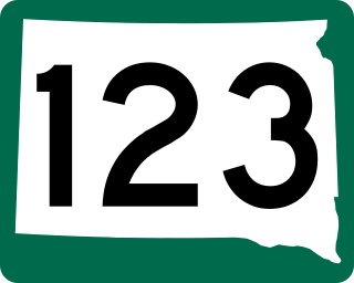
South Dakota Highway 123, 467th Avenue, is a 10.486-mile (16.876 km) north–south state highway in Grant and Roberts counties in South Dakota, United States, that connects U.S. Route 12 (US 12) with South Dakota Highway 15 (SD 15).

U.S. Highway 71 is a U.S. highway that runs from Krotz Springs, LA to the Fort Frances–International Falls International Bridge at the Canadian border. In Arkansas, the highway runs from the Louisiana state line near Doddridge to the Missouri state line near Bella Vista. In Texarkana, the highway runs along State Line Avenue with US 59 and partially runs in Texas. Other areas served by the highway include Fort Smith and Northwest Arkansas.

