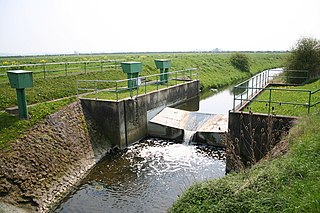
The Sandy River is a 56-mile (90 km) tributary of the Columbia River in northwestern Oregon in the United States. The Sandy joins the Columbia about 14 miles (23 km) upstream of Portland.

The Clackamas River is an approximately 83-mile (134 km) tributary of the Willamette River in northwestern Oregon, in the United States. Draining an area of about 940 square miles (2,435 km2), the Clackamas flows through mostly forested and rugged mountainous terrain in its upper reaches, and passes agricultural and urban areas in its lower third. The river rises in eastern Marion County, about 55 miles (89 km) east-southeast of Salem. The headwaters are on the slopes of Olallie Butte in the Mount Hood National Forest, about 10 miles (16 km) north of Mount Jefferson, at an elevation of 4,909 feet (1,496 m) in the Cascade Range. The Clackamas flows briefly north and then flows northwest through the mountains, passing through North Fork Reservoir and Estacada. It then emerges from the mountains southeast of Portland. It joins the Willamette near Oregon City and forms the boundary between Oregon City and Gladstone.

The Hood River, formerly known as Dog River, is a tributary of the Columbia River in northwestern Oregon in the United States. Approximately 25 miles (40 km) long from its mouth to its farthest headwaters on the East Fork, the river descends from wilderness areas in the Cascade Range on Mount Hood and flows through the agricultural Hood River Valley to join the Columbia River in the Columbia River Gorge.
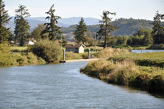
The Trask River is in northwestern Oregon in the United States. It drains a mountainous timber-producing area of the Northern Oregon Coast Range west of Portland into Tillamook Bay and the Pacific Ocean. It is one of five rivers—the Tillamook, the Trask, the Wilson, the Kilchis, and the Miami—that flow into the bay.

The Wilson River, about 33 miles (53 km) long, flows from the Northern Oregon Coast Range to Tillamook Bay in the U.S. state of Oregon. Formed by the confluence of its Devil's Lake Fork and its South Fork, it runs generally west through the Tillamook State Forest to its mouth near the city of Tillamook. It is one of five rivers—the Tillamook, the Trask, the Wilson, the Kilchis, and the Miami—that flow into the bay.
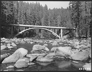
The Collawash River is a 12-mile (19 km) tributary of the Clackamas River in the U.S. state of Oregon. Formed by the confluence of Elk Lake Creek and the East Fork Collawash River in the Cascade Range, it flows generally north-northwest from source to mouth through the Mount Hood National Forest. The largest tributary of the upper Clackamas, it provides about a third of bigger river's low-flow volume. About 35 percent of its watershed of 150 square miles (390 km2) is protected as wilderness.
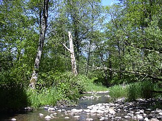
Johnson Creek is a 25-mile (40 km) tributary of the Willamette River in the Portland metropolitan area of the U.S. state of Oregon. Part of the drainage basin of the Columbia River, its catchment consists of 54 square miles (140 km2) of mostly urban land occupied by about 180,000 people as of 2012. Passing through the cities of Gresham, Portland, and Milwaukie, the creek flows generally west from the foothills of the Cascade Range through sediments deposited by glacial floods on a substrate of basalt. Though polluted, it is free-flowing along its main stem and provides habitat for salmon and other migrating fish.
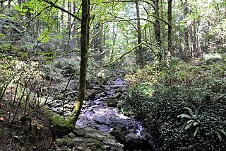
Tryon Creek is a 4.85-mile (7.81 km) tributary of the Willamette River in the U.S. state of Oregon. Part of the drainage basin of the Columbia River, its watershed covers about 6.5 square miles (16.8 km2) in Multnomah and Clackamas counties. The stream flows southeast from the Tualatin Mountains through the Multnomah Village neighborhood of Portland and the Tryon Creek State Natural Area to the Willamette in the city of Lake Oswego. Parks and open spaces cover about 21 percent of the watershed, while single-family homes dominate most of the remainder. The largest of the parks is the state natural area, which straddles the border between the two cities and counties.

The Columbia Slough is a narrow waterway, about 19 miles (31 km) long, in the floodplain of the Columbia River in the U.S. state of Oregon. From its source in the Portland suburb of Fairview, the Columbia Slough meanders west through Gresham and Portland to the Willamette River, about 1 mile (1.6 km) from the Willamette's confluence with the Columbia. It is a remnant of the historic wetlands between the mouths of the Sandy River to the east and the Willamette River to the west. Levees surround much of the main slough as well as many side sloughs, detached sloughs, and nearby lakes. Drainage district employees control water flows with pumps and floodgates. Tidal fluctuations cause reverse flow on the lower slough.

Oak Grove Fork Clackamas River is a 21-mile (34 km) tributary of the Clackamas River in the U.S. state of Oregon. From its headwaters in the Warm Springs Indian Reservation near Abbot Pass in the Cascade Range, the river flows generally west through Mount Hood National Forest in Clackamas County to the unincorporated community of Ripplebrook. Here it enters the main stem of the Clackamas River. Oak Grove Fork feeds Timothy Lake and Lake Harriet, two artificial impoundments built along its course to control water flows to hydroelectric plants.

The North Fork Clackamas River is a tributary, about 11 miles (18 km) long, of the Clackamas River in the U.S. state of Oregon. Originating at nearly 4,000 feet (1,200 m) above sea level on the west side of the Cascade Range, it flows westward through Mount Hood National Forest. It joins the Clackamas at North Fork Reservoir, about 32 miles (51 km) from the larger river's confluence with the Willamette River. From source to mouth, the following tributaries enter the river: Dry Creek from the right bank, Boyer Creek from the left bank, then Whiskey, Bedford, Bee, and Fall creeks, all from the right.
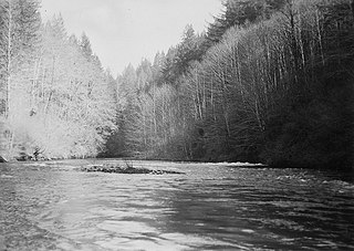
The Little Sandy River is a tributary, roughly 15 miles (24 km) long, of the Bull Run River in the U.S. state of Oregon. Forming west of Mount Hood in the Mount Hood National Forest, it flows generally west, roughly parallel to the Sandy River to the south. Its entire course lies in Clackamas County, and most of its main stem and tributaries are within the Bull Run Watershed Management Unit (BRWMU), a restricted zone that protects Portland's main water supply.

Muddy Fork is a tributary, about 6 miles (10 km) long, of the Sandy River in the U.S. state of Oregon. Arising at the base of Sandy Glacier on the west slope of Mount Hood, it flows west through the Mount Hood Wilderness in the Mount Hood National Forest. It joins the Sandy River in Old Maid Flat, about 5 miles (8 km) northeast of Rhododendron. The stream offers limited fishing for coastal cutthroat trout.

The North Fork Bull Run River is a tributary, about 6 miles (10 km) long, of the Bull Run River in the U.S. state of Oregon. Part of the system that provides drinking water to the city of Portland, it flows generally south through a protected part of the Mount Hood National Forest in Multnomah County. It joins the Bull Run River at Bull Run Reservoir 1.

The South Fork Clackamas River is a tributary, roughly 8 miles (13 km) long, of the Clackamas River in the U.S. state of Oregon. Beginning near South Fork Mountain in the western Cascade Range, the river flows generally north through Clackamas County to meet the larger river at Big Cliff. Most of the South Fork's drainage basin lies within the Mount Hood National Forest.

Blazed Alder Creek is a tributary, about 4 miles (6 km) long, of the Bull Run River in the U.S. state of Oregon. Part of the system that provides drinking water to the city of Portland, it flows generally north through a protected part of the Mount Hood National Forest in Clackamas and Multnomah counties. The creek is named after a 24-inch (61 cm) blazed (marked) alder tree that was used as a benchmark during early watershed surveys.
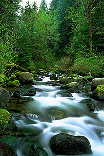
Fir Creek is a tributary, about 5 miles (8 km) long, of the Bull Run River in the U.S. state of Oregon. Part of the system that provides drinking water to the city of Portland, it flows generally northwest through a protected part of the Mount Hood National Forest in Clackamas and Multnomah counties. It joins the Bull Run River at the upper end of Bull Run Reservoir 1, about 14 miles (23 km) from the larger stream's confluence with the Sandy River.

The South Fork Salmon River is a tributary of the Salmon River in Clackamas County in the U.S. state of Oregon. Arising near Plaza Lake, it flows generally northeast along the east side of Salmon Mountain to meet the Salmon 11 miles (18 km) upstream of the larger stream's confluence with the Sandy River at Brightwood.


