South Fork Ninnescah River | |
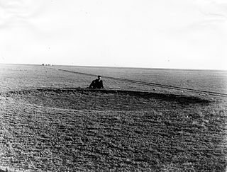
The South Fork Ninnescah River south of Murdock, Kansas (2006) | |
Country | United States |
---|---|
State | Kansas |
Source | |
- location | Pratt County, Kansas |
- elevation | 2,071 ft (631 m) |
- coordinates | 37°36′20″N98°55′42″W / 37.60556°N 98.92833°W [1] |
Mouth | Ninnescah River |
- location | Sedgwick County, Kansas |
- elevation | 1,302 ft (397 m) |
- coordinates | 37°34′05″N97°42′19″W / 37.56806°N 97.70528°W Coordinates: 37°34′05″N97°42′19″W / 37.56806°N 97.70528°W [1] |
Watersheds | South Fork Ninnescah- Ninnescah-Arkansas- Mississippi |
The South Fork Ninnescah River is a river in the central Great Plains of North America. Its entire length lies within the U.S. state of Kansas. It is a tributary of the Ninnescah River. [2]
A river is a natural flowing watercourse, usually freshwater, flowing towards an ocean, sea, lake or another river. In some cases a river flows into the ground and becomes dry at the end of its course without reaching another body of water. Small rivers can be referred to using names such as stream, creek, brook, rivulet, and rill. There are no official definitions for the generic term river as applied to geographic features, although in some countries or communities a stream is defined by its size. Many names for small rivers are specific to geographic location; examples are "run" in some parts of the United States, "burn" in Scotland and northeast England, and "beck" in northern England. Sometimes a river is defined as being larger than a creek, but not always: the language is vague.
The Great Plains is the broad expanse of flat land, much of it covered in prairie, steppe, and grassland, that lies west of the Mississippi River tallgrass prairie in the United States and east of the Rocky Mountains in the U.S. and Canada. It embraces:
North America is a continent entirely within the Northern Hemisphere and almost all within the Western Hemisphere; it is also considered by some to be a northern subcontinent of the Americas. It is bordered to the north by the Arctic Ocean, to the east by the Atlantic Ocean, to the west and south by the Pacific Ocean, and to the southeast by South America and the Caribbean Sea.
The South Fork Ninnescah River originates in south-central Kansas in the High Plains. Its source lies in west-central Pratt County approximately 2 miles (3.2 km) southwest of Cullison, Kansas. From there, it flows generally east into the Wellington Lowlands. In southwestern Sedgwick County, it meets the North Fork Ninnescah River to form the Ninnescah River. [2]
The High Plains are a subregion of the Great Plains mostly in the Western United States, but also partly in the Midwest states of Nebraska, Kansas, and South Dakota, generally encompassing the western part of the Great Plains before the region reaches the Rocky Mountains. The High Plains are located in southeastern Wyoming, southwestern South Dakota, western Nebraska, eastern Colorado, western Kansas, eastern New Mexico, western Oklahoma, and south of the Texas Panhandle. The southern region of the Western High Plains ecology region contains the geological formation known as Llano Estacado which can be seen from a short distance or on satellite maps. From east to west, the High Plains rise in elevation from around 1,160 feet (350 m) to over 7,800 feet (2,400 m).
Pratt County is a county located in the U.S. state of Kansas. As of the 2010 census, the county population was 9,656. The largest city and county seat is Pratt.
Cullison is a city in Pratt County, Kansas, United States. As of the 2010 census, the city population was 101.
The Little Arkansas River is a river in the central Great Plains of North America. A tributary of the Arkansas River, its entire 123-mile (198 km) length lies within the American state of Kansas.
K-11 is a state highway in the U.S. state of Kansas, and uses parts of what was formerly K-14 before it was realigned. The 16.662-mile-long (26.815 km) highway connects US-54/US-400 west of Kingman with K-61 west of Arlington.
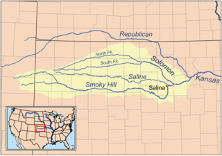
The Solomon River, often referred to as the "Solomon Fork", is a 184-mile-long (296 km) river in the central Great Plains of North America. The entire length of the river lies in the U.S. state of Kansas. It is a tributary of the Smoky Hill River.
The Saline River is a 397-mile-long (639 km) tributary of the Smoky Hill River in the central Great Plains of North America. The entire length of the river lies in the U.S. state of Kansas in the northwest part of the state. The river takes its name from the French translation of its Native name Ne Miskua, referring to its salty content.
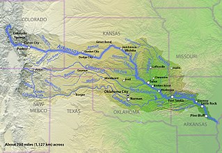
The Ninnescah River is a river in the central Great Plains of North America. Its entire 56.4-mile (90.8 km) length lies within the U.S. state of Kansas. It is a tributary of the Arkansas River.
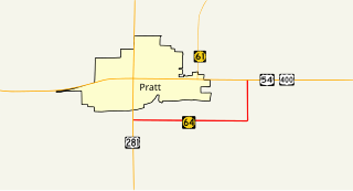
K-64 was a 3.574-mile-long (5.752 km) state highway in Pratt County, Kansas. The highway was a partial bypass of Pratt that ran from U.S. Route 281 (US-281) just south of the city limits to US-54/US-400 east of them. The route was maintained by the Kansas Department of Transportation until July 10, 2015 when the road was turned over to Pratt County. K-64 was not part of the National Highway System. K-64 was designated at around 1932 and paved in 1937.
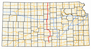
K-14 is a north–south state highway which runs most of the length of the U.S. state of Kansas. The highway runs through the central part of the state.
The South Fork Solomon River is a 292-mile-long (470 km) river in the central Great Plains of North America. The entire length of the river lies in the U.S. state of Kansas. It is a tributary of the Solomon River.
Waconda Lake, also known as Glen Elder Reservoir, is a reservoir in Mitchell County and Osborne County, Kansas, United States. Built and managed by the U.S. Bureau of Reclamation for flood control and irrigation, it is also used for recreation. Glen Elder State Park is located on its north shore.
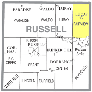
Fairview Township is a township in Russell County, Kansas, United States. As of the 2010 United States Census, it had a population of 466.
Ladder Creek is a 230-mile-long (370 km) stream in the central Great Plains of North America. A tributary of the Smoky Hill River, it flows from eastern Colorado into western Kansas.
The North Fork Smoky Hill River is a river in the central Great Plains of North America. A tributary of the Smoky Hill River, it flows from eastern Colorado into western Kansas.
Kirwin Reservoir is a reservoir in Phillips County, Kansas, United States. It is located next to the city of Kirwin in northern Kansas. The U.S. Bureau of Reclamation built it and continues to operate it for the purposes of flood control and area irrigation. The Kirwin National Wildlife Refuge lies on its shores.
Cheney Reservoir is a reservoir on the North Fork Ninnescah River in Reno, Kingman, and Sedgwick counties of Kansas in the United States. Built and managed by the U.S. Bureau of Reclamation for local water supply, it is also used for flood control and recreation. Cheney State Park is located on its shore.
The North Fork Solomon River is a river in the central Great Plains of North America. Its entire 287-mile (462 km) length lies within the U.S. state of Kansas. It is a tributary of the Solomon River.
Sappa Creek is a stream in the central Great Plains of North America. A tributary of the Republican River, it flows for 150 miles (240 km) through the American states of Kansas and Nebraska.
The North Fork Ninnescah River is a river in the central Great Plains of North America. Its entire length lies within the U.S. state of Kansas. It is a tributary of the Ninnescah River.
Webster was an unincorporated community in Belmont Township, Rooks County, Kansas, United States.
Skellyville is an unincorporated community in Kingman County, Kansas, United States. It is located approximately 2 miles (3.2 km) northwest of Cunningham on the north side of the South Fork Ninnescah River.
This article related to a river in Kansas is a stub. You can help Wikipedia by expanding it. |