
Route 128, known as the Yankee Division Highway, is a state highway in the U.S. state of Massachusetts maintained by the Highway Division of the Massachusetts Department of Transportation (MassDOT). Spanning 57 miles (92 km), it is one of two beltways around Boston, and is known as the "inner" beltway, especially around areas where it is 15 miles (25 km) or less outside of Boston. The route's current southern terminus is at the junction of I-95 and I-93 in Canton, and it is concurrent with I-95 around Boston for 37.5 miles (60.4 km) before it leaves the interstate and continues on its own in a northeasterly direction towards Cape Ann. The northern terminus lies in Gloucester a few hundred feet from the Atlantic Ocean. All but the northernmost 3 miles are a freeway, with the remainder being a expressway. Its concurrency with I-95 makes up most of its length.

Quincy is a coastal U.S. city in Norfolk County, Massachusetts, United States. It is the largest city in the county and a part of Metropolitan Boston as one of Boston's immediate southern suburbs. Its population in 2020 was 101,636, making it the seventh-largest city in the state. Known as the "City of Presidents", Quincy is the birthplace of two U.S. presidents—John Adams and his son John Quincy Adams—as well as John Hancock, the first signer of the Declaration of Independence and the first and third governor of Massachusetts.

The Wilbur Cross Parkway is a controlled-access parkway in Connecticut, comprising the portion of Route 15 between Milford and Meriden. It is named after Wilbur Lucius Cross, a former governor of the state (1931–1939).

Route 2 is a 142.29-mile-long (228.99 km) major east–west state highway in Massachusetts. Along with Route 9 and U.S. Route 20 to the south, these highways are the main alternatives to the Massachusetts Turnpike/I-90 toll highway. Route 2 runs the entire length of the northern tier of Massachusetts, beginning at the New York border, where it connects with New York State Route 2, and ending near Boston Common in Boston. Most of the route is an expressway through the northern tier of Massachusetts, with the longest surface road segments being the western portion. Older alignments of Route 2 are known as Route 2A.
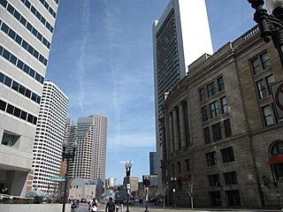
Atlantic Avenue is a street in downtown Boston, Massachusetts, partly serving as a frontage road for the underground Central Artery (I-93) and partly running along the Boston Harbor. It has a long history, with several relocations along the way.
The Central Artery is a section of freeway in downtown Boston, Massachusetts; it is designated as Interstate 93, US 1 and Route 3.

Route 3 is a state-numbered route in the U.S. state of Massachusetts, maintained by the Massachusetts Department of Transportation (MassDOT). Spanning approximately 56 miles (90 km) along a north–south axis, it is inventoried with U.S. Route 3 as a single route by the state. The state-numbered Route 3 travels from Bourne in the south to Cambridge in the north, while US 3 continues from Cambridge and crosses the New Hampshire state line in Tyngsborough. Mileposts on US 3 continue from those on the state-numbered Route 3.

Massachusetts Route 18 is a 41.561-mile-long (66.886 km) north–south state highway in Southeastern Massachusetts. Beginning in the city of New Bedford, it runs as a freeway for approximately 2 miles (3.2 km), continuing as a surface street until it reaches Weymouth.

Route 28 is a 151.93-mile-long (244.51 km) nominally south–north state highway in the U.S. state of Massachusetts, running from the town of Eastham via Boston to the New Hampshire state line in Methuen. Following the route from its nominally southern end, Route 28 initially heads south to the town of Chatham then turns west to follow along the south shore of Cape Cod. In Falmouth, Route 28 turns north and continues through the western part of Plymouth County and the eastern part of Norfolk County; it then passes through downtown Boston before heading north via Lawrence to the New Hampshire state line, where it continues as New Hampshire Route 28.

Quincy Center station is an intermodal transit station in Quincy, Massachusetts. It is a transfer station between the MBTA Red Line subway, MBTA Commuter Rail's Old Colony Lines and Greenbush Line, and a number of MBTA bus routes. It is located between Hancock Street and Burgin Parkway in the Quincy Center district. Opened in 1971, the station was covered by a large parking garage which was closed in 2012 due to structural problems. A project to remove and replace the garage is under way.

Route 3A is a 97-mile-long (156 km) state highway in eastern Massachusetts, which parallels Route 3 and U.S. Route 3 from Cedarville in southern Plymouth to Tyngsborough at the New Hampshire state line.

Route 135 is a 29.53-mile-long (47.52 km) east-west state highway in eastern Massachusetts. The western terminus is at U.S. Route 20 in Northborough and the eastern terminus is at I-95 and Route 128 in Dedham.
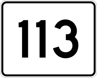
Route 113 is a 50.53-mile-long (81.32 km) east–west Massachusetts state route that connects towns in the Merrimack River valley in northeastern Massachusetts. Its western terminus is at Route 119 in Pepperell, and its eastern end is at U.S. Route 1 and Route 1A in Newburyport.

Quincy Point is a neighborhood of Quincy, Massachusetts. "The Point" is generally defined as the land east of Quincy Center, the downtown district. Quincy Point is bordered on the west by Elm Street, on the east by Weymouth Fore River and the Braintree city line, on the north by Town River and on the south by Quincy Avenue. The area altitude averages about 30 feet (9.1 m) above sea level. The population of this neighborhood in 2000 was 11,414.
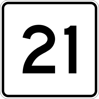
Route 21 is a 13.73-mile-long (22.10 km) south–north state highway in Massachusetts that runs between U.S. Route 20 and Route 141 in Springfield and Route 9 in Belchertown. Along the way it intersects several major highways including Interstate 90 (I-90) in Ludlow and US 202 and Route 181 in Belchertown.

Route 53 is a 22.138-mile-long (35.628 km) south–north state highway in southeastern Massachusetts. Its southern terminus is at Route 3A in Kingston and its northern terminus is at Route 3A in Quincy. Along the way it intersects Route 3 in Hanover.

Route 58 is a 29.86-mile-long (48.06 km) south–north state highway in southeastern Massachusetts. For all but its final 0.4 miles (0.64 km), the route lies within Plymouth County. Its southern terminus is at Route 28 at the Rochester–Wareham town line and its northern terminus is at Route 18 in Weymouth. Along the way it intersect several major highways including Interstate 495 (I-495) in Wareham and U.S. Route 44 in Carver.
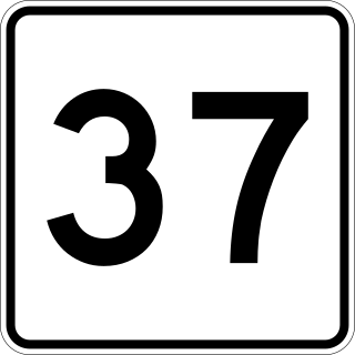
Route 37 is a 9.54-mile-long (15.35 km) north–south state highway in eastern Massachusetts. Its southern terminus is at Route 28 in Brockton and its northern terminus is at Interstate 93 (I-93) and U.S. Route 1 in Braintree.

Route 99 is a 6.67-mile-long (10.73 km) north–south state highway in metropolitan Boston, leading from the Boston neighborhood of Charlestown through the northern suburbs of Everett, Malden, and Melrose, and terminating in Saugus at U.S. Route 1 (US 1).

Furnace Brook Parkway is a historic parkway in Quincy, Massachusetts. Part of the Metropolitan Park System of Greater Boston, it serves as a connector between the Blue Hills Reservation and Quincy Shore Reservation at Quincy Bay. First conceived in the late nineteenth century, the state parkway is owned and maintained by the Massachusetts Department of Conservation and Recreation (DCR) and travels through land formerly owned by the families of John Adams and John Quincy Adams, passing several historic sites. It ends in the Merrymount neighborhood, where Quincy was first settled by Europeans in 1625 by Captain Richard Wollaston. The road was started in 1904, completed in 1916 and added to the National Register of Historic Places (NRHP) in 2004.


