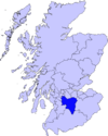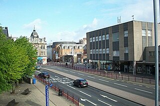
Hamilton is a large town in South Lanarkshire, Scotland. It serves as the main administrative centre of the South Lanarkshire council area. It sits 10 miles (16 km) south-east of Glasgow, 37 miles (60 km) south-west of Edinburgh and 74 miles (120 km) north of Carlisle. It is situated on the south bank of the River Clyde at its confluence with the Avon Water. Hamilton is the county town of the historic county of Lanarkshire and is the location of the headquarters of the modern local authority of South Lanarkshire.
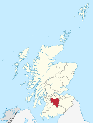
South Lanarkshire is one of 32 unitary authorities of Scotland. It borders the south-east of the Glasgow City council area and contains some of Greater Glasgow's suburban towns, as well as many rural towns and villages. It also shares borders with Dumfries and Galloway, East Ayrshire, East Renfrewshire, North Lanarkshire, the Scottish Borders and West Lothian. It includes most of the historic county of Lanarkshire.

Lanarkshire, also called the County of Lanark, is a historic county, lieutenancy area and registration county in the Central Lowlands and Southern Uplands of Scotland. The county is no longer used for local government purposes, but gives its name to the two modern council areas of North Lanarkshire and South Lanarkshire.

East Kilbride is the largest town in South Lanarkshire in Scotland, and the country's sixth-largest locality by population. It was also designated Scotland's first new town on 6 May 1947. The area lies on a raised plateau to the south of the Cathkin Braes, about eight miles southeast of Glasgow and close to the boundary with East Renfrewshire.
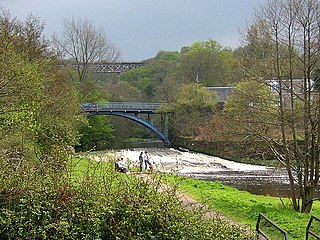
Larkhall is a town in South Lanarkshire, Scotland, around 14 miles (23 km) southeast of Glasgow. It is twinned with Seclin in northern France.

Strathaven is a historic market town in South Lanarkshire, Scotland and is the largest settlement in Avondale. It is 7.5 kilometres south of Hamilton. The Powmillon Burn runs through the town centre, and joins the Avon Water to the east of the town.
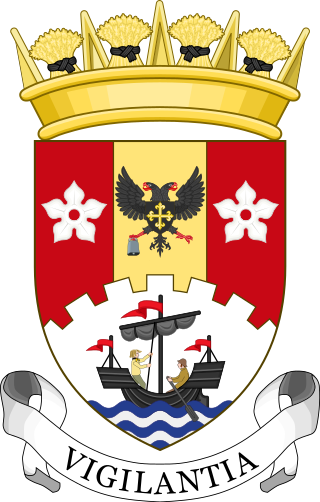
South Lanarkshire Council is the unitary authority serving the South Lanarkshire council area in Scotland. The council has its headquarters in Hamilton, has 16,000 employees, and an annual budget of almost £1bn. The large and varied geographical territory takes in rural and upland areas, market towns such as Lanark, Strathaven and Carluke, the urban burghs of Rutherglen, Cambuslang, and East Kilbride which was Scotland's first new town. The area was formed in 1996 from the areas of Clydesdale, Hamilton and East Kilbride districts, and some outer areas of Glasgow district ; all were previously within the Strathclyde region from 1975 but in historic Lanarkshire prior to that.
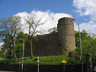
Strathaven Castle is located in the centre of the small town of Strathaven, in South Lanarkshire, Scotland. The ruin is closed to the public and has been for 5 years. A Friends of Strathaven Castle Group was set up in February 2023 to promote the repair and renewed access to the towns major landmark.

Stonehouse is a rural village in South Lanarkshire, Scotland. It is on Avon Water in an area of natural beauty and historical interest, near to the Clyde Valley. It is on the A71 trunk road between Edinburgh and Kilmarnock, near the towns of Hamilton, Larkhall and Strathaven. The population of Stonehouse is around 7,500.
Andrew Struthers Stewart was a British Conservative Party politician who served as Member of Parliament (MP) for Sherwood from 1983 to 1992.

Hamilton Grammar School is a secondary school serving Hamilton, South Lanarkshire, Scotland.

Jackton is a small village lying just on the western periphery of East Kilbride in South Lanarkshire, on the B764 road connecting it to the village of Eaglesham. It is also adjacent to Thorntonhall, and the two villages share a newsletter, the Peel News, derived from the name of the road connecting the two. The settlement, as well as an area of surrounding farmland going as far as Lindsayfield was designated as a Community Growth Area for East Kilbride in South Lanarkshire's Local Development Plan 2. The development of new build housing, additional retail locations, and a new primary school are planned and under construction as of March 2023. Jackton lies approximately 150 metres (490 ft) above sea level.

Airdrie Academy is a secondary school located within Airdrie, North Lanarkshire, Scotland.

Earnock Estate is a residential area in Hamilton, South Lanarkshire, Scotland, which is located east of High Earnock and south of Hillhouse. The area was developed in the 1960s and is home to some of the oldest buildings in the area.

Caldermill is a small settlement in South Lanarkshire, Scotland.

Duncanrig Secondary School is a secondary school within the town of East Kilbride in the South Lanarkshire council area in Scotland. The original building was designed in 1953 by the Scottish architect Basil Spence.
Strathaven RFC are a rugby union team from the south Lanarkshire town of Strathaven. Strathaven 1st XV play in the West Regional League Division 2.
Chapelton is a small village in South Lanarkshire, Scotland. The village is located approximately halfway between the towns of East Kilbride and Strathaven, on the A726. It resides in the former parish of Glassford, which takes its name from the nearby village of the same name.
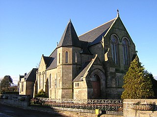
Quarter is a village in South Lanarkshire, Scotland, on the hill above the Clyde Valley.

Strathaven Public Hall, also referred to as the Old Town Hall, Strathaven, is a municipal building in Kirk Street, Strathaven, South Lanarkshire, Scotland. The structure, which serves as a scout and guide centre, is a Category C listed building.


