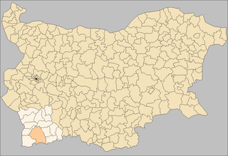
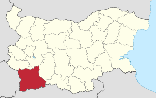
Sanzoles is a municipality located in the province of Zamora, Castile and León, Spain. According to the 2004 census (INE), the municipality has a population of 646 inhabitants.
Cilleruelo de San Mamés is a municipality located in the province of Segovia, Castile and León, Spain. According to the 2004 census (INE), the municipality has a population of 46 inhabitants.

Polenitsa is a village in South West Bulgaria in Blagoevgrad Province, 159 km from the capital city of Sofia and 2 km from the spa resort of Sandanski. The village has a permanent population of 1150 people (2008).
Paril is a village in Hadzhidimovo Municipality, in Blagoevgrad Province, Bulgaria.
Drenovitsa is a village in Petrich Municipality, in Blagoevgrad Province, Bulgaria.
Kavrakirovo is a village in Petrich Municipality, in Blagoevgrad Province, Bulgaria.

Marikostinovo is a village in Petrich Municipality, in Blagoevgrad Province, Bulgaria.
Mitino is a village in Petrich Municipality, in Blagoevgrad Province, Bulgaria.
Vishlene is a village in Petrich Municipality, in Blagoevgrad Province, Bulgaria.

Goleshovo is a village in the municipality of Sandanski, in Blagoevgrad Province, Bulgaria.

Katuntsi is a village in the municipality of Sandanski, in Blagoevgrad Province, Bulgaria.
Piperitsa is a village in the municipality of Sandanski, in Blagoevgrad Province, Bulgaria.

Pirin (village) is a village in the municipality of Sandanski, in Blagoevgrad Province, Bulgaria.

Rozhen, Bulgaria is a village in the municipality of Sandanski, in Blagoevgrad Province, Bulgaria. It is situated at the south-western foothills of the Pirin mountain range and is nestled within the Melnik Earth Pyramids. In its outskirts is located the Rozhen Monastery, the largest one in Pirin.
Yanovo is a village in the municipality of Sandanski, in Blagoevgrad Province, Bulgaria. It is located 5km away from Katuntsi and 30km away from Sandanski.

Igralishte is a village in Strumyani Municipality, in Blagoevgrad Province, in southwestern Bulgaria.
Nikudin is a village in Strumyani Municipality, in Blagoevgrad Province, in southwestern Bulgaria.
Dolno Voyvodino is a village in the municipality of Haskovo, in Haskovo Province, in southern Bulgaria.
Bubino is a village in the municipality of Ivaylovgrad, in Haskovo Province, in southern Bulgaria.
Kondovo is a village in the municipality of Ivaylovgrad, in Haskovo Province, in southern Bulgaria.


