Summit Township | |
|---|---|
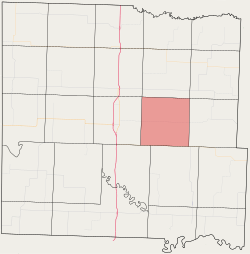 Location in Bates County | |
| Coordinates: 38°15′37″N94°14′21″W / 38.26028°N 94.23917°W | |
| Country | |
| State | |
| County | Bates |
| Area | |
• Total | 35.90 sq mi (92.97 km2) |
| • Land | 35.84 sq mi (92.83 km2) |
| • Water | 0.054 sq mi (0.14 km2) 0.15% |
| Elevation | 935 ft (285 m) |
| Population (2000) | |
• Total | 317 |
| • Density | 8.8/sq mi (3.4/km2) |
| Time zone | UTC-6 (CST) |
| • Summer (DST) | UTC-5 (CDT) |
| ZIP code | 64730 |
| GNIS feature ID | 0766309 |
Summit Township is one of twenty-four townships in Bates County, Missouri, and is part of the Kansas City metropolitan area within the USA. As of the 2000 census, its population was 317. [1]
Contents
- Geography
- Adjacent townships
- Cemeteries
- School districts
- Political districts
- References
- External links
Summit Township was so named on account of the relatively elevated prairies within its borders. [2]
