Sumner Township, Buchanan County | |
|---|---|
 | |
| Coordinates: 42°25′25″N091°53′40″W / 42.42361°N 91.89444°W | |
| Country | |
| State | |
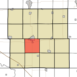
| County | Buchanan |
| Area | |
• Total | 34.31 sq mi (88.85 km2) |
| • Land | 34.02 sq mi (88.12 km2) |
| • Water | 0.28 sq mi (0.73 km2) |
| Elevation | 932 ft (284 m) |
| Population (2000) | |
• Total | 3,148 |
| • Density | 92/sq mi (35.7/km2) |
| FIPS code | 19-94047 [2] |
| GNIS feature ID | 0468765 |
Sumner Township is one of sixteen townships in Buchanan County, Iowa, USA. As of the 2000 census, its population was 3,148.
