| Tchórzynek | |
|---|---|
| Settlement | |
 Tchórzynek | |
| Coordinates: 53°0′N14°50′E / 53.000°N 14.833°E | |
| Country | |
| Voivodeship | West Pomeranian |
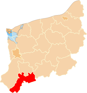
| County | Myślibórz |
| Gmina | Myślibórz |
Tchórzynek [txuˈʐɨnɛk] is a settlement in the administrative district of Gmina Myślibórz, within Myślibórz County, West Pomeranian Voivodeship, in north-western Poland. [1] It lies approximately 8 kilometres (5 mi) north of Myślibórz and 50 km (31 mi) south of the regional capital Szczecin.

In geography, statistics and archaeology, a settlement, locality or populated place is a community in which people live. The complexity of a settlement can range from a small number of dwellings grouped together to the largest of cities with surrounding urbanized areas. Settlements may include hamlets, villages, towns and cities. A settlement may have known historical properties such as the date or era in which it was first settled, or first settled by particular people.
Gmina Myślibórz is an urban-rural gmina in Myślibórz County, West Pomeranian Voivodeship, in north-western Poland. Its seat is the town of Myślibórz, which lies approximately 57 kilometres (35 mi) south of the regional capital Szczecin.
Myślibórz County is a unit of territorial administration and local government (powiat) in the West Pomeranian Voivodeship. It came into being on January 1, 1999, as a result of the Polish local government reforms passed in 1998. Its administrative seat is the town of Myślibórz, which lies 57 kilometres (35 mi) south of the regional capital Szczecin. The county also contains the towns of Barlinek, lying 24 km (15 mi) east of Myślibórz, and Dębno, 25 km (16 mi) southwest of Myślibórz.
Before 1945 the area was part of Germany. For the history of the region, see History of Pomerania.

Germany, officially the Federal Republic of Germany, is a country in Central and Western Europe, lying between the Baltic and North Seas to the north, and the Alps to the south. It borders Denmark to the north, Poland and the Czech Republic to the east, Austria and Switzerland to the south, France to the southwest, and Luxembourg, Belgium and the Netherlands to the west.

The history of Pomerania starts shortly before 1000 AD with ongoing conquests by newly arrived Polans rulers. Before that the area was recorded nearly 2000 years ago as Germania, and in modern-day times Pomerania is split between Germany and Poland. The name Pomerania comes from the Slavic po more, which means Land at the Sea.

