
U.S. Route 58 is an east–west U.S. Highway that runs for 508 miles (818 km) from U.S. Route 25E just northwest of Harrogate, Tennessee, to U.S. Route 60 in Virginia Beach, Virginia. Until 1996, when the Cumberland Gap Tunnel opened, US 58 ran only inside the commonwealth of Virginia. It was then extended southwest along a short piece of former US 25E, which no longer enters Virginia, to end at the new alignment in Tennessee. For most of its alignment, it closely parallels Virginia's southern border with North Carolina.

State Route 2 is a 197-mile-long (317 km) west–to–east state highway in the U.S. state of Tennessee. It begins in Murfreesboro, in Rutherford County, and ends near Farragut in Loudon County. The route is both a primary and secondary route. Most of the route is unsigned.

State Route 58, also locally called "Highway 58", is a north–south state highway in the U.S. state of Tennessee that serves as a major route for many communities in Roane, Meigs, and Hamilton counties.

State Route 198 (SR 198) is a primary state highway in the Middle Peninsula region of the U.S. state of Virginia. It runs from the U.S. Route 17 and State Route 33 split at Glenns east via Cobbs Creek and Mathews to State Routes 642 and 653 near Moon.

Interstate 75 (I-75) in the US state of Tennessee runs from Chattanooga to Jellico by way of Knoxville. I-75 enters the East Tennessee region from Georgia, following the Tennessee Valley all the way through Knoxville to near Rocky Top, then climbs into the Cumberland Mountains before crossing over into Kentucky at Jellico.

U.S. Route 27 in Tennessee runs from the Georgia state line in Chattanooga to the Kentucky state line in Isham. It forms the informal border between the Eastern and Central Time Zones of the state. However, it stays in the Eastern Time Zone.

U.S. Route 6 (US 6) is a part of the United States Numbered Highway System that runs from Bishop, California, to Provincetown, Massachusetts. In Ohio, the road runs west–east from the Indiana state line near Edgerton to the Pennsylvania state line near Andover. The 248.002 miles (399.121 km) that lie in Ohio are maintained by the Ohio Department of Transportation (ODOT). US 6 serves the major cities of Sandusky, Lorain, and Cleveland. The highway is also called the Grand Army of the Republic Highway to honor the Union forces of the U.S. Civil War. The alternate name was designated in 1953.

In Tennessee, U.S. Route 64 stretches 404.1 miles (650.3 km) from the Mississippi River in Memphis to the North Carolina state line near Ducktown. The highway, along with US 72, is a major route for travel between Memphis and Chattanooga.

U.S. Route 11 (US 11) in the U.S. state of Tennessee travels from the Georgia state line in Chattanooga to Knoxville, where it then splits into US 11E and US 11W. These two highways then travel to the Virginia state line near Kingsport and Bristol. During its length, it shares concurrencies with State Route 2 (SR 2) and SR 38.

U.S. Route 41 (US 41) is a United States Numbered Highway that runs from Miami, Florida, to Copper Harbor, Michigan. In Tennessee, the highway is paralleled by Interstate 24 all the way from Georgia to Kentucky, and I-24 has largely supplanted US-41 as a major highway, especially for large and heavy vehicles, such as tractor-trailer trucks and buses.

U.S. Route 421 is a north–south United States highway that runs for 43.4 miles (69.8 km) in East Tennessee, connecting the cities of Mountain City and Bristol.
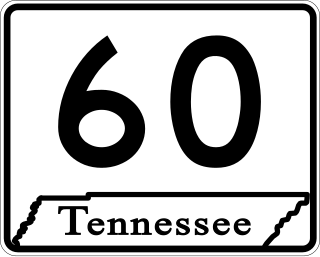
State Route 60 is a north-south major state route in Eastern Tennessee. It covers 54 miles (87 km) and runs from the Tennessee-Georgia state line in Bradley County to Dayton joining US 27.

State Route 184 (SR 184) is a 19.4-mile (31.2 km) state highway that runs south-to-north through portions of Banks and Stephens counties in the northeastern part of the U.S. state of Georgia. The route's southern terminus is at SR 63 in northeastern Banks County. The northern terminus at the Tugaloo River and the South Carolina state line where the road continues as Cleveland Pike Road.
At least 17 special routes of U.S. Route 11 (US 11) and at least one of US 11E have existed.

APD-40 or APD 40 refers to a road composed of the U.S. Route 64 Bypass and a section of State Route 60 (SR 60) which forms a partial beltway around the business district of Cleveland, Tennessee. The route takes its name from its part of Corridor K of the Appalachian Development Highway System, and is sometimes called Appalachian Highway or simply the Cleveland Bypass. The route is also designated as Veterans Memorial Highway. The US 64 Byp. section of the road is also multiplexed with unsigned State Route 311 and US 74. The road is a four-lane divided highway its entire length and parts are controlled-access. The bypass is an east-west route and the state route is a north-south.

State Route 74 (SR 74) is a north–south state highway located primarily in Bradley County, Tennessee. It runs from the Georgia state line to downtown Cleveland. The route serves as a major shortcut, along with SR 60, for Cleveland citizens to commute to Atlanta, Georgia.
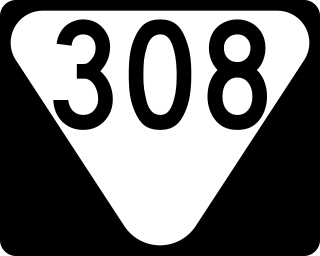
State Route 308 is a secondary state route located in northern Bradley County, Tennessee that serves the city of Charleston. The route is 7.5 miles (12.1 km) long and is located entirely in Bradley County.
White Oak Mountain is a mountain located in northwestern Georgia and southeastern Tennessee. The mountain is part of the Ridge and Valley Appalachians.

State Route 335 is an 11-mile-long (18 km) north–south state highway in Blount County, Tennessee. It forms a semicircle around the western half of the Maryville-Alcoa metro area.
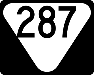
State Route 287 is a 40.5-mile-long (65.2 km) north-south state highway located entirely in Warren County in Middle Tennessee. It connects Viola with Rock Island via Morrison, Centertown, Midway, and Rock Island State Park. SR 287's routing is somewhat unique in that it forms a nearly C-shaped arch around the southern, western, and northern sides of McMinnville.

