
U.S. Route 411 (US 411) is an alternate parallel-highway associated with US 11. It extends for about 309.7 miles (498.4 km) from US 78 in Leeds, Alabama, to US 25W/US 70 in Newport, Tennessee. US 411 travels through northeastern Alabama, northwestern Georgia, and southeastern Tennessee. It is signed north-south, as with most highways that have odd numbers, but the route runs primarily in a northeast-southwest direction, and covers a more east-west mileage than it does north-south. Notable towns and cities along its route include Gadsden, Alabama; Rome, Georgia; Cartersville, Georgia; Maryville, Tennessee; Sevierville, Tennessee, and Newport, Tennessee.

Mississippi Highway 50 is a state highway in Mississippi. It generally follows an east/west track for 60 miles (97 km) and runs from MS 9 in Walthall, Mississippi, east to the Alabama state line east of Columbus. MS 50 serves the following Mississippi counties: Lowndes, Clay, and Webster.
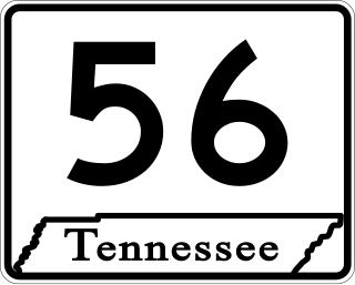
State Route 56 is a 160.6-mile-long (258.5 km) state highway that runs south to north in Middle Tennessee, from the Alabama state line near Sherwood to the Kentucky state line near Red Boiling Springs.
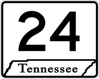
State Route 24 is an unsigned west–east state highway in Tennessee, as it coincides with U.S. Route 70 and U.S. Route 70N for its entire duration from Nashville to Crossville. The road begins in western Nashville and ends in Crossville. It runs alongside Interstate 40 for its entire length.

U.S. Route 11E (US 11E) is a divided highway of US 11 in the U.S. states of Tennessee and Virginia. The United States Numbered Highway, which is complemented by US 11W to the north and west, runs 120.94 miles (194.63 km) from US 11, US 11W, and US 70 in Knoxville, Tennessee, north and east to US 11, US 11W, US 19, and US 421 in Bristol, Virginia. US 11E connects Knoxville and the twin cities of Bristol, Virginia, and Bristol, Tennessee, with the East Tennessee communities of Morristown, Greeneville, and Johnson City. The U.S. Highway runs concurrently with US 70 and US 25W east of Knoxville, US 321 from Greeneville and Johnson City, and both US 19W and US 19 between Johnson City and Bristol. US 11E also has an unsigned concurrency with State Route 34 (SR 34) for almost all of its course in Tennessee.

U.S. Route 70N is a northern alternate to U.S. Route 70, passing through parts of Middle Tennessee and East Tennessee. It runs 86.0 miles (138.4 km) east–west from Lebanon to Crossville, connecting the cities of Carthage, Baxter, Cookeville, and Monterey.

State Route 109 is a primary state highway in Middle Tennessee. It runs from the intersection of SR 265 and Interstate 840 near Lebanon, north through Gallatin to the Kentucky state line and I-65.

State Route 5 is a 120-mile-long (190 km) north–south state highway in the western part of the U.S. state of Tennessee. Except for the section northwest of Union City, it is entirely concurrent with U.S. Route 45 and US 45W.

U.S. Route 50 (US 50) is a part of the United States Numbered Highway System that runs from West Sacramento, California, to Ocean City, Maryland. In the U.S. state of Indiana, it is part of the state road system. US 50 enters the state in Vincennes. The 171.38 miles (275.81 km) of US 50 that lie within Indiana serve as a major conduit. All of the highway is listed on the National Highway System. Various sections are rural two-lane highway, urbanized four-lane undivided highway and one-way streets. The easternmost community along the highway is Lawrenceburg at the Ohio state line. US 50 passes through urban areas, farmland and woodland.

U.S. Route 70 enters the state of Tennessee from Arkansas via the Memphis & Arkansas Bridge in Memphis, and runs west to east across 21 counties in all three Grand Divisions of Tennessee, with a total length of 478.48 miles (770.04 km), to end at the North Carolina state line in eastern Cocke County. Along the route, US 70 is accompanied with various U.S. and state highways, including those in three of the state's four major cities.

U.S. Route 127 in Tennessee is a 129.5-mile-long (208.4 km) United States Numbered Highway from Chattanooga to the Kentucky state line at Static. The highways connects through Dunlap, Pikeville, Crossville, and Jamestown. Throughout its length, US 127 straddles the line between East Tennessee and Middle Tennessee.

State Route 55 is an east–west highway in Middle Tennessee. The road begins at SR 50 in Lynchburg and ends at U.S. Route 70S and SR 380 in McMinnville. The current length is 49.3 mi (79.3 km). SR 55 heads northeast from Lynchburg to Tullahoma as a two-lane road. In Tullahoma, the route runs concurrent with US 41A. From here, SR 55 heads northeast as a multilane highway to Manchester, where it intersects US 41 and Interstate 24 (I-24). The route continues northeast, serving Summitville and Morrison before it reaches McMinnville.

State Route 101 is a state highway in Bledsoe and Cumberland counties in the eastern portion U.S. state of Tennessee.

State Route 50 (SR 50) is a west–to–east highway in Middle Tennessee. The road begins near Only and ends in Altamont. The current length is 161.3 miles (259.6 km).

State Route 53 (SR 53) is a north–south state highway that traverses six counties in Middle Tennessee. It is 113.5 miles (182.7 km) long.
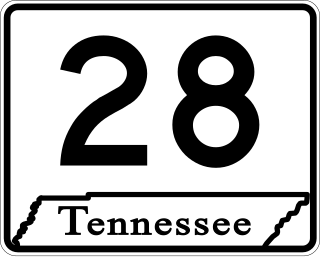
State Route 28 is a state highway in the state of Tennessee, traversing the state in a north–south axis from south of Jasper to the Kentucky state line at Static.

State Route 35 is a north–south state highway in East Tennessee. The 81.35 miles (130.92 km) long state highway traverses Blount, Sevier, a small portion of Jefferson, Cocke, and Greene Counties. Most of the route is a secret, or hidden designation, as it runs concurrently with U.S. Highways in the area.

State Route 298, also known as Genesis Road, is a north–south state highway in the Cumberland Plateau region of East Tennessee.

State Route 419, also known as Pigeon Ridge Road, is a 4.0-mile-long (6.4 km) north–south state highway in Cumberland County, Tennessee. It serves as the primary road in and out of Cumberland Mountain State Park. Even though it is signed north–south, SR 419 primarily goes in an east–west direction.
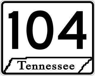
State Route 104 is a 114.43-mile-long east–west state highway in West Tennessee.

