
State Highway 6 (SH 6) runs from the Red River, the Texas–Oklahoma state line, to northwest of Galveston, where it is known as the Old Galveston Highway. In Sugar Land and Missouri City, it is known as Alvin-Sugarland Road and runs perpendicular to Interstate 69/U.S. Highway 59 (I-69/US 59). In the Houston area, it runs north to Farm to Market Road 1960 (FM 1960), then northwest along US 290 to Hempstead, and south to Westheimer Road and Addicks, and is known as Addicks Satsuma Road. In the Bryan–College Station area, it is known as the Earl Rudder Freeway. In Hearne, it is known as Market Street. In Calvert, it is known as Main Street. For most of its length, SH 6 is not a limited-access road. In 1997, the Texas Legislature designated SH 6 as the Texas Korean War Veterans Memorial Highway.

State Highway 46 is a 71.4-mile (114.9 km) state highway in the U.S. state of Texas that runs from SH 16 east of Bandera to the intersection of SH 123 and SH 123 Business just south of Seguin.

State Highway 20 is a 78.1-mile (125.7 km) highway maintained by the Texas Department of Transportation (TxDOT) that runs from New Mexico State Road 460 at the state line between Texas and New Mexico at Anthony in El Paso County to Interstate 10 at McNary in Hudspeth County. It largely follows a former alignment of U.S. Route 80. The route passes through the city of El Paso as well as suburban and rural farming communities along the Rio Grande. With the exception of a stretch north of central El Paso where the route crosses north of I-10, the route generally runs in a narrow belt between I-10 and the Rio Grande. The route has connections to every international border crossing with Mexico in the El Paso area and has important intersections with US 54, US 62, US 85, and US 180.

State Highway 308 (SH 308) or College Avenue, runs from FM 60 in College Station north to Sulphur Springs Road in Bryan. It is one route from the Texas A&M University campus to the university's Hensel Park, a recreation facility for faculty, staff, and students of the university.
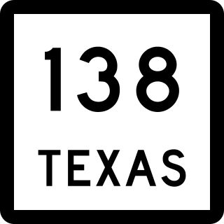
State Highway 138 (SH 138) is a state highway that runs between U.S. Highway 183 and SH 195 across northern Williamson County, Texas. The highway was originally part of SH 195. When SH 195 was redirected north of Florence to Killeen over RM 440 on January 27, 1988, this portion was redesignated as SH 138.
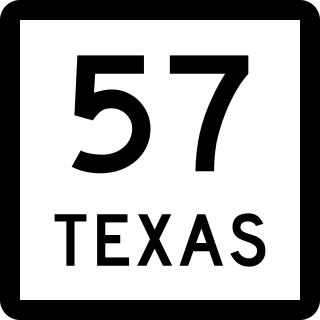
State Highway 57 is a 1.474-mile (2.372 km) Texas state highway located in Tyler.
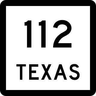
State Highway 112 (SH 112) is a short state highway that runs through the northern portions of Eastland County in the U.S. state of Texas. The routing was previously designated as State Highway 69 in 1971. Vandalism to the road signage as a result of its numbering had reached epidemic proportion by 1989, driving a resolution that the number of the road needed to be changed. The cost of resigning the roadway was considered reasonable by local governments, compared to that of the measures by law enforcement agencies that would be necessary to stop the vandalism. In 1992, the district requested and was granted renumbering of this route to State Highway 112.

State Highway 160 (SH 160) is a Texas state highway that runs from SH 78 to U.S. Highway 69 and SH 11 in Whitewright. The route is about nine miles (14 km) in length. It was designated on March 19, 1930 along its current route, except that its north end was at Bells. It was a renumbering of SH 78A. On October 25, 1932, SH 160 was extended to Denison. On September 26, 1939, the part from Denison to Whitewright was cancelled as it was cosigned with US 69.
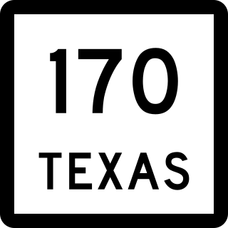
State Highway 170 (SH 170), also known as the Alliance Gateway Freeway, is a Texas state highway in the northern suburbs of Fort Worth in the Alliance area. The highway was designated in 1988.

State Highway 182 (SH 182) is a state highway between Alba and Quitman in the U.S. state of Texas.

State Highway 179 (SH 179) is a short Texas state highway, traveling 8.441 miles (13.584 km) between Teague and Dew. The route was designated on October 26, 1932, along its current route.
State Highway 234 is a short state highway connecting Edroy and Odem in San Patricio County, Texas.

State Highway 290 is a state highway maintained by the Texas Department of Transportation (TxDOT) that runs from Interstate 10 near Sheffield east to another connection with I-10 about 20 miles (32 km) east of Sheffield. The 24.5-mile (39.4 km) route was designated in 1992 as a replacement for U.S. Route 290 when that route was shortened to end near Junction. The route connects I-10 to Sheffield and Fort Lancaster State Historic Site and overlays a portion of SH 349.
Farm to Market Road 1171 is a farm to market road in Denton County, Texas.

All of the business loops within Texas are maintained by the Texas Department of Transportation (TxDOT). Interstate 20 (I-20) has 15 business loops in the state, all located in western Texas. Along I-20, TxDOT identifies each business route as Business Interstate 20 followed by an alphabetic suffix. Along Texas Interstates, the alphabetic suffixes on business route names ascend eastward and northward. There are gaps in the alphabetic values to allow for future system expansion. The alphabetic naming suffixes are included as small letters on the bottom of route shields.

