
Tyler County is a county located in the U.S. state of Texas. It is in East Texas and its seat is Woodville. As of the 2020 census, its population was 19,798. Tyler County is named for John Tyler, the 10th President of the United States. Despite its name, Tyler County does not contain the city of Tyler, Texas; the latter is located about 140 miles to the north in Smith County.

San Jacinto County is a county in the U.S. state of Texas. As of the 2020 census, its population was 27,402. Its county seat is Coldspring. The county's name comes from the Battle of San Jacinto which secured Texas' independence from Mexico and established a republic in 1836.

Live Oak County is a county in the U.S. state of Texas. It was named for its native groves of live oak. George West is its county seat. Its population was 11,335 in the 2020 census.
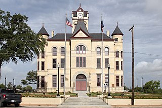
Karnes County is a county in the U.S. state of Texas. As of the 2020 census, the population was 14,710. Its county seat is Karnes City. The county is named for Henry Karnes, a soldier in the Texas Revolution. The former San Antonio and Aransas Pass Railway passed through Karnes County in its connection linking San Antonio with Corpus Christi.

Glasscock County is a county located in the U.S. state of Texas. As of the 2020 census, its population was 1,169. Its county seat is Garden City. The county was created in 1827 and later organized in 1869. It is named for George Washington Glasscock, an early settler of the Austin, Texas area and the namesake of Georgetown, Texas.

Cooke County is a county in the U.S. state of Texas. At the 2020 census, its population was 41,668. The county seat is Gainesville. The county was founded in 1848 and organized the next year. It is named for William Gordon Cooke, a soldier during the Texas Revolution. It is a part of the Texoma region.
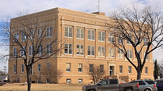
Callahan County is a county located in the U.S. state of Texas. As of the 2020 census, the population was 13,708. Its county seat is Baird. The county was founded in 1858 and later organized in 1877. It is named for James Hughes Callahan, an American soldier in the Texas Revolution. Callahan County is included in the Abilene, Texas metropolitan statistical area.

Northwoods is a city in St. Louis County, Missouri, United States. The population was 4,227 at the 2010 census.

Velda City is a city in St. Louis County, Missouri, United States. The population was 1,420 at the 2010 census.

Arroyo Colorado Estates is a census-designated place (CDP) in Cameron County, in the U.S. state of Texas. The population was 997 at the 2010 census. It is part of the Brownsville–Harlingen Metropolitan Statistical Area.
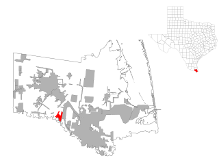
Encantada-Ranchito-El Calaboz, also known as El Calaboz Rancheria in the San Pedro de Carricitos Land Grant, is a census-designated place (CDP) in Cameron County, Texas, United States. The population was 1,981 at the 2020 census. It is part of the Brownsville–Harlingen Metropolitan Statistical Area.

Solis is a census-designated place (CDP) in Cameron County, Texas, United States. The population was 722 at the 2020 census. It is part of the Brownsville–Harlingen Metropolitan Statistical Area.
Bayou Vista is a city in Galveston County, Texas, United States. The population was 1,763 at the 2020 census. It received severe damage from Hurricane Ike on September 13, 2008.

Lakeport is a city in Gregg County, Texas, United States. The population was 974 at the 2010 census, up from 861 at the 2000 census; in 2020, its population was 976.
Browndell is a city in Jasper County, Texas, United States. The population was 160 at the 2020 census.
Seven Oaks is a city in Polk County, Texas, United States. The population was 68 at the 2020 census.

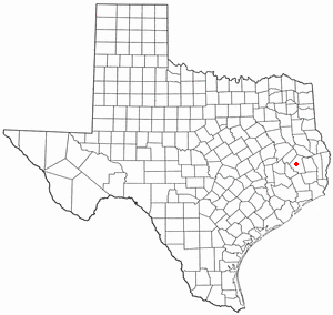
San Augustine is the county seat city of San Augustine County, Texas, in East Texas, United States. The population was 1,920 at the 2020 census.

West Alto Bonito is a census-designated place (CDP) in Starr County, Texas, United States. The population was 615 in 2020 census. Prior to the 2010 census, West Alto Bonito CDP was known as Alto Bonito CDP.
El Refugio is a census-designated place (CDP) in Starr County, Texas, United States. The population was 407 at the 2020 census. El Refugio gained area in the 2010 census.
La Puerta is a census-designated place (CDP) in Starr County, Texas, United States. The population was 638 at the 2020 census, an increase from the figure of 632 tabulated in 2010 census.


