
State Highway 17 runs from Marfa to Pecos in west Texas. The road is maintained by the Texas Department of Transportation (TxDOT).
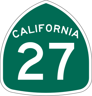
State Route 27, commonly known by its street name Topanga Canyon Boulevard, is a state highway in the U.S. state of California that runs from the Pacific Coast Highway at Topanga State Beach near Pacific Palisades, through the Topanga Canyon in Topanga, and continuing through Woodland Hills, Canoga Park, West Hills, and Chatsworth to the Ronald Reagan Freeway.

State Highway 33 is a route that runs from U.S. Highways 60 and 83 south of Canadian and travels east to the Oklahoma state line, where it becomes State Highway 33.
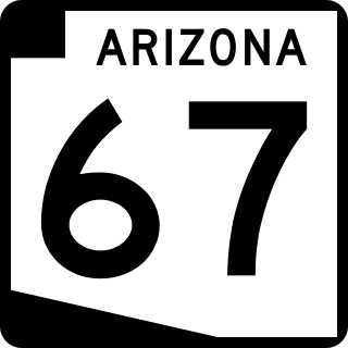
State Route 67 is a 43.4 mi (69.8 km) long, north–south state highway in northern Arizona. Also called the Kaibab Plateau – North Rim Parkway, SR 67 is the sole road that links U.S. Route 89A at Jacob Lake to the North Rim of Grand Canyon National Park. Along the route, the road heads through the national park as well as Kaibab National Forest and traverses extensive coniferous forests. The section inside the national park is maintained by the National Park Service (NPS), whereas the section north of the entrance, completely within Kaibab National Forest, is owned by the Arizona Department of Transportation (ADOT). The road was built in the late 1920s and improved through the 1930s. In 1941, the road received its number, and was given its designation as the parkway in the 1980s. The parkway has received designations as a National Forest Scenic Byway as well as a National Scenic Byway.

State Highway 72 is a Texas state highway that runs approximately 111 miles (179 km) from near Fowlerton to Cuero in South Texas.

State Highway 118 is a 155.3-mile (249.9 km) state highway in the U.S. state of Texas that runs from Big Bend National Park north to Kent and passes through the towns of Study Butte, Alpine, and Fort Davis. SH 118 is maintained by the Texas Department of Transportation (TxDOT). The road lies entirely within the Trans-Pecos region of Texas. SH 118 is a two-lane road along its length except for a section in Alpine where the route follows the path of U.S. Route 67 and U.S. Route 90. All of the route except for the 2.8-mile (4.5 km) section between Big Bend National Park and Farm to Market Road 170 is included in the Texas Historical Commission's Texas Mountain Trail.

State Route 64 (SR 64) is a 108.31-mile-long (174.31 km) state highway in the northern part of the US state of Arizona. It travels from its western terminus in Williams to its intersection with U.S. Route 89 (US 89) in Cameron.

State Highway 166 runs for 43.0 miles (69.2 km) from SH 118 near Nunn Hill in northern Jeff Davis County, Texas passing around a major portion of the Davis Mountains before ending at SH 17 about two miles south of Fort Davis. The highway is maintained by the Texas Department of Transportation (TxDOT).
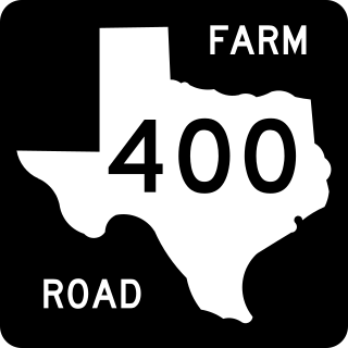
Farm to Market Road 400 is a farm to market road located in Lynn, Lubbock, Hale, and Swisher counties in the Llano Estacado of Texas.
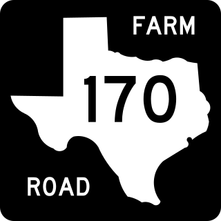
Farm to Market Road 170 is a 114.6-mile (184.4 km) highway maintained by the Texas Department of Transportation (TxDOT) in Presidio and Brewster counties in Texas. The route, known locally as the River Road, runs along the United States side of the Rio Grande which in Texas forms the international boundary between the U.S. and Mexico. The road runs from Candelaria through the city of Presidio as well as several smaller communities and former settlements to State Highway 118 in Study Butte near Big Bend National Park. The road also passes through the southern portion of Big Bend Ranch State Park.

State Route 508 (SR 508) is a 32.84-mile (52.85 km) long state highway located in Lewis County within the U.S. state of Washington, extending from an interchange with Interstate 5 (I-5) concurrent with U.S. Route 12 (US 12) in Napavine to SR 7 in Morton. By 1916, a road between Napavine and Cinebar was constructed on the current route of SR 508 and was signed in 1937 as Secondary State Highway 5K (SSH 5K) after being extended to Morton. SSH 5K became SR 508 in 1968 and since then, a segment in Bear Canyon has been reconstructed twice between 2007 and 2009 and a bridge over the Tilton River was reconstructed in 2009.

U.S. Highway 60 in Texas is a 210.70-mile-long U.S. Highway that runs southwest to northeast through the Texas Panhandle. The route passes through the cities of Hereford, Canyon, Amarillo, and Canadian.

State Route 123 (SR 123) is a state highway in the Gifford Pinchot National Forest and Mount Rainier National Park east of Mount Rainier in the U.S. state of Washington. Located in the counties of Lewis and Pierce, the 16.34-mile (26.30 km) long roadway extends through a heavily forested canyon from U.S. Route 12 (US 12) to SR 410. First established as a branch of State Road 5 in 1923, the designation of SR 123 has changed from a branch of Primary State Highway 5 (PSH 5) in 1937 to SR 143 during the 1964 highway renumbering and SR 123 in 1967. The northern terminus of the highway, Cayuse Pass, is closed annually and in late 2006, the Hanukkah Eve windstorm of 2006 washed out a 10.90-mile (17.54 km) long segment of the roadway.

State Route 279 is a state highway in the U.S. state of Utah. The highway was constructed in 1962–1963 to service the Cane Creek potash mine and processing plant southwest of Moab. The highway was named one of the most beautiful highways opened to traffic in 1963. The entire length of SR-279 has been designated the Potash – Lower Colorado River Scenic Byway by the Utah State Legislature, however is known locally as Potash Road.
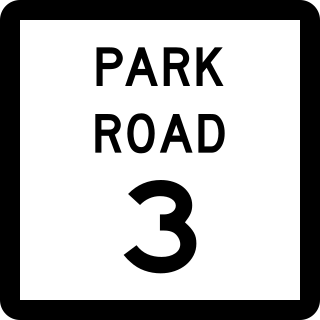
Park Road 3 (PR 3) is a 1.2-mile (1.9 km) Park Road located near Fort Davis, in the U.S. state of Texas. The highway connects the Indian Lodge of Davis Mountains State Park to State Highway 118 (SH 118). The entire length of the road is located within the park. The highway was constructed in 1933 by the Civilian Conservation Corps and incorporated into the state highway system in 1937 as one of the system's original park roads.

Recreational Road 2 (RE 2) is a Recreational Road located in Val Verde County in the southwestern portion of the U.S. state of Texas. The highway is approximately 7.2 miles (11.6 km) in length, and connects the Rough Canyon Colonia portion of the Amistad National Recreation Area to U.S. Highway 277 (US 227) and US 377. The roadway travels through mainly rural areas. A road first appeared in the location of RE 2 around 1940. RE 2 was officially designated in June 1970, and was just the second Recreational Road formed at the time.
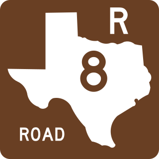
Recreational Road 8 (RE 8) is a Recreational Road located in McMullen County in the southern portion of the U.S. state of Texas. The highway is approximately 1.1 miles (1.8 km) in length, and connects Texas State Highway 72 (SH 72) to the community of Calliham and Choke Canyon State Park. The roadway travels through rural areas and central Calliham. Calliham was first laid out in 1922, and a road first appeared in the location of RE 8 by 1940. Farm to Market Road 99 was designated in the location of RE 8 in 1954. Recreational Road 8 was officially designated in June 1981, after FM 99 was relocated. The highway was cancelled and relocated in 1983. The highway is currently the only route to deviate from the recreational road criteria.

