
The Korkodon is a river in Magadan Oblast, Russian Far East. It is a right tributary of the Kolyma, with a length of 476 kilometres (296 mi) a drainage basin of 42,800 square kilometres (16,500 sq mi). The upper reaches of the river are in Omsukchansky District, then it flows across the Srednekansky District in its lower course. The name of the river originated in the Northern Yukaghir language.

The Tyugyuene is a river in Yakutia, Russia. It is a tributary of the Lena with a length of 492 kilometres (306 mi) and a drainage basin area of 8,740 square kilometres (3,370 sq mi). The river marks the border between Gorny and Kobyaysky Districts in a stretch of its middle course.

The Tympylykan is a river in the Sakha Republic (Yakutia), Russia. It is a left tributary of the Lena. Its length is 357 kilometres (222 mi) and the area of its basin is 5,130 square kilometres (1,980 sq mi).
The Bulun, also known as "Rassokha", is a river in Magadan Oblast, Russia. It has a length of 428 kilometres (266 mi) and a drainage basin of 17,000 square kilometres (6,600 sq mi). The Bulun is the longest tributary of the Korkodon, of the Kolyma basin. Its river basin is located in a discontinuous permafrost zone.
The Namyndykan is a river in Magadan Oblast, Russia. It has a length of 199 kilometres (124 mi) and a drainage basin of 2,410 square kilometres (930 sq mi).
The Cherendey is a river in Yakutia, Russia. It is a tributary of the Lena with a length of 226 kilometres (140 mi) and a drainage basin area of 2,910 square kilometres (1,120 sq mi).

The Nuora, also known as Strekalovka is a river in Yakutia, Russia. It is a left tributary of the Lena with a length of 69 kilometres (43 mi). Its drainage basin area is 1,110 square kilometres (430 sq mi).

The Menkere is a river in Sakha Republic (Yakutia), Russia. It is one of the major tributaries of the Lena. The river has a length of 227 kilometres (141 mi) —402 km (250 mi) together with the Syncha— and a drainage basin area of 15,900 square kilometres (6,100 sq mi).

The Uel-Siktyakh is a river in the Sakha Republic (Yakutia), Russia. It is one of the northern tributaries of the Lena. The river has a length of 247 kilometres (153 mi) and a drainage basin area of 6,630 square kilometres (2,560 sq mi).
The Arga-Yuryakh is a river in Sakha Republic (Yakutia), Russia. It is one of the major tributaries of the Omoloy. The river has a length of 214 kilometres (133 mi) and a drainage basin area of 5,530 square kilometres (2,140 sq mi).

The Buor-Yuryakh is a river in the Sakha Republic (Yakutia), Russia. It is the second largest tributary of the Alazeya. The river has a length of 244 kilometres (152 mi) and a drainage basin area of 5,170 square kilometres (2,000 sq mi).

The Uryung-Ulakh or Yuryung-Ulakh is a river in the Sakha Republic (Yakutia), Russia. It has a length of 314 kilometres (195 mi) and a drainage basin area of 6,210 square kilometres (2,400 sq mi).

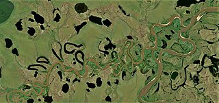
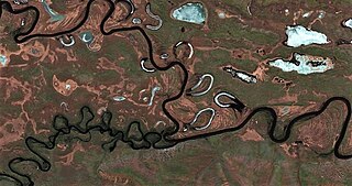
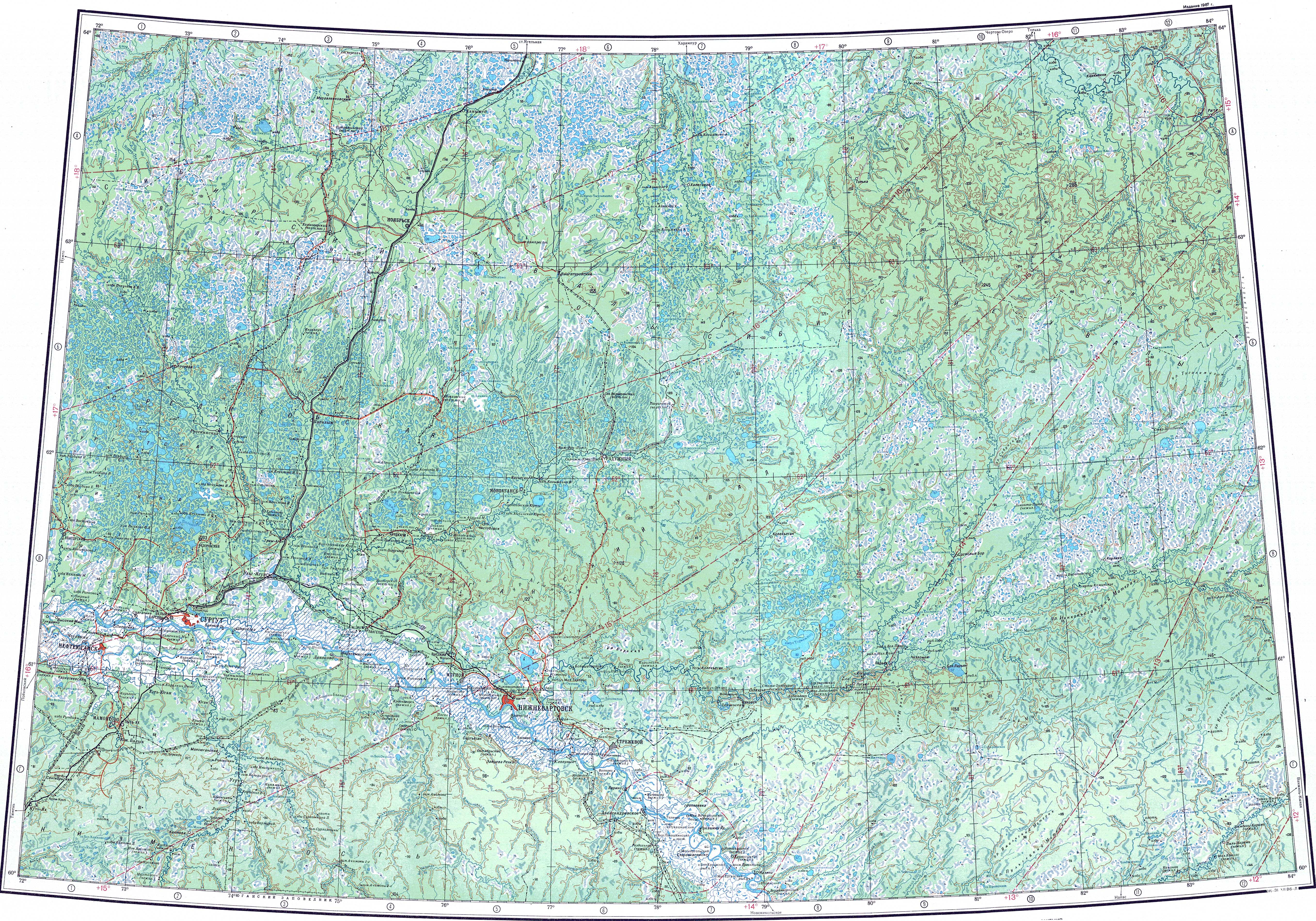
The Vatinsky Yogan is a river in Khanty-Mansi Autonomous Okrug, Russia. The river is 593 kilometres (368 mi) long and has a catchment area of 3,190 square kilometres (1,230 sq mi).

The Keyikte is a river in Yakutia, Russia. It is the longest tributary of the Namana, of the Lena basin. Its length is 276 kilometres (171 mi) and its drainage basin area 3,650 square kilometres (1,410 sq mi).
The Chyna is a river in Yakutia, Russia. It is the longest tributary of the Sinyaya of the Lena basin, with a length of 240 kilometres (150 mi) and a drainage basin of 5,070 square kilometres (1,960 sq mi).

The Sen, also known as Sian, is a river in Yakutia, Russia. It is a left hand tributary of the Vilyuy, and is 181 kilometres (112 mi) long, with a drainage basin of 3,510 square kilometres (1,360 sq mi).

The Lakharchana, is a river in Yakutia, Russia. It is a left hand tributary of the Vilyuy, and is 202 kilometres (126 mi) long, with a drainage basin of 7,130 square kilometres (2,750 sq mi).

The Olguydakh, is a river in Yakutia, Russia. It is a left hand tributary of the Akhtaranda, part of the Vilyuy basin. The river is 191 kilometres (119 mi) long and has a drainage basin of 5,450 square kilometres (2,100 sq mi).

The Alymdya, is a river in Yakutia, Russia. It is a right hand tributary of the Akhtaranda, part of the Vilyuy basin. The river is 227 kilometres (141 mi) long and has a drainage basin of 5,310 square kilometres (2,050 sq mi).

The Maymakan is a river in Ayano-Maysky District, Khabarovsk Krai, Russian Far East. With a length of 421 km (262 mi), it is the second longest tributary of the Maya. Its drainage basin 18,900 square kilometres (7,300 sq mi).
