Upper Banta Chiefdom | |
|---|---|
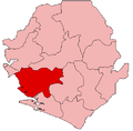
 Upper Banta Chiefdom Location in Sierra Leone | |
| Coordinates: 7°44′06″N12°10′56″W / 7.7349°N 12.1822°W | |
| Country | |
| Province | Southern Province |
| District | Moyamba District |
| Capital | Mokelle |
| Time zone | UTC+0 (GMT) |
Upper Banta Chiefdom is a chiefdom in Moyamba District of Sierra Leone. [1] [2] Its capital is Mokelle.