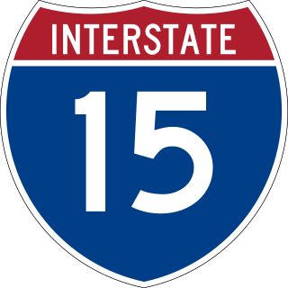
Interstate 15 (I-15) is a major Interstate Highway in the Western United States, running through Southern California and the Intermountain West. I-15 begins near the Mexican border in San Diego County and stretches north to Alberta, Canada, passing through the states of California, Nevada, Arizona, Utah, Idaho, and Montana. The Interstate serves the cities of San Diego, San Bernardino, Las Vegas, Salt Lake City, Idaho Falls, and Great Falls. It also passes close to the urban areas of Los Angeles, Orange, and Riverside counties, California. The stretches of I-15 in Idaho, Utah, and Arizona have been designated as the "Veterans Memorial Highway". The southern end is at a junction with I-8 and State Route 15 (SR 15) in San Diego, and the northern end is at a connection with Alberta Highway 4 at the Sweetgrass–Coutts Border Crossing.

U.S. Route 91 or U.S. Highway 91 is a 172.7-mile-long (277.9 km) north–south United States highway running from Brigham City, Utah, to Idaho Falls, Idaho, in the U.S. states of Idaho and Utah. Despite the "1" as the last digit in the number, US 91 is no longer a cross-country artery, as it has mostly been replaced by Interstate 15. The highway currently serves to connect the communities of the Cache Valley to I-15 and beyond. Prior to the mid-1970s, US 91 was an international commerce route from Long Beach, California, to the Canada–US border north of Sweetgrass, Montana. US 91 was routed on the main streets of most of the communities it served, including Las Vegas Boulevard in Las Vegas and State Street in Salt Lake City. From Los Angeles to Salt Lake, the route was built along the corridor of the Arrowhead Trail. A portion of the highway's former route in California is currently State Route 91.

In the U.S. state of Arizona, Interstate 10 (I‑10), the major east–west Interstate Highway in the United States Sun Belt, runs east from California, enters Arizona near the town of Ehrenberg and continues through Phoenix and Tucson and exits at the border with New Mexico near San Simon. The highway also runs through the cities of Casa Grande, Eloy, and Marana. Segments of the highway are referred to as either the Papago Freeway, Inner Loop, or Maricopa Freeway within the Phoenix area and the Pearl Harbor Memorial Highway outside metro Phoenix.

State Route 68 (SR-68) is a state highway in the U.S. state of Utah. It is a major thoroughfare throughout the Wasatch Front as it runs north–south for 70.8 miles (113.9 km), linking US-6 near Elberta to US-89 in Woods Cross. The route intersects several major freeways and highways in the Salt Lake City metropolitan area including I-215, I-80, and I-15. The route is more commonly referred to as Redwood Road, after the street it is routed along throughout Salt Lake County. The highway is also routed for a short distance along 500 South and 200 West in Bountiful and Camp Williams Road in Utah County. The route is a surface street for its entire length.

Interstate 15 (I-15) runs north–south in the U.S. state of Utah through the southwestern and central portions of the state, passing through most of the state's population centers, including St. George and those comprising the Wasatch Front: Provo–Orem, Salt Lake City, and Ogden–Clearfield. It is Utah's primary and only north–south interstate highway, as the vast majority of the state's population lives along its corridor; the Logan metropolitan area is the state's only Metropolitan Statistical Area through which I-15 does not pass. In 1998, the Utah State Legislature designated Utah's entire portion of the road as the Veterans Memorial Highway.
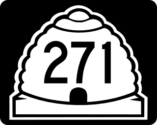
State Route 271 (SR-271) is a state highway within Iron County in the southwestern portion of the US state of Utah that connects Parowan and SR-274 to Paragonah and I-15. The route spans 5.65 miles (9.09 km) south–north and roughly parallels I-15. State Route 271 was designated in 1978.

Legacy Parkway is an 11.5-mile-long (18.5 km) four-lane controlled-access parkway located almost completely within Davis County in the northern part of the U.S. state of Utah. The parkway travels north from Interstate 215 (I-215) in northwestern Salt Lake City to an interchange named the Wasatch Weave in Farmington with two intermediate interchanges providing access to Woods Cross and Centerville. Wetlands of the nearby Great Salt Lake and nature preserves border the western side of the parkway while the eastern side roughly parallels Union Pacific and Utah Transit Authority rail lines and I-15. On average, between 20,000 and 23,000 vehicles use the parkway daily.

U.S. Route 89 in the U.S. state of Utah is a north-south United States Highway spanning more than 502 miles (807.891 km) through the central part of the state, making it the longest road in Utah. Between Provo and Brigham City, US-89 serves as a local road, paralleling Interstate 15, but the portions from Arizona north to Provo and Brigham City northeast to Wyoming serve separate corridors. The former provides access to several national parks and Arizona, and the latter connects I-15 with Logan, the state's only Metropolitan Statistical Area not on the Interstate.
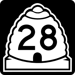
State Route 28 (SR-28) is a state highway in central Utah running for 43.612 miles (70.187 km) in Sanpete and Juab counties from Gunnison to Nephi. It serves as a connection from the Wasatch Front to the Sevier Valley.

State Route 48 (SR-48) is a highway completely within Salt Lake County in northern Utah that connects Bangerter Highway with I-15 and US-89. The route is laid on portions of 7800 South, Redwood Road, and 7200 South. When the route was formed in 1927, it passed through the center of Midvale on Center Street. However, it was moved north onto 7200 South in 1965 to serve an exit of I-15.
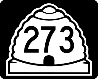
State Route 273 (SR-273) is a state highway completely within Davis County in the northern portion of the U.S. state of Utah that connects Farmington and US-89 to Kaysville and I-15.
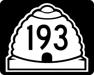
State Route 193 is an east and west highway located completely in Davis County, Utah, United States that begins at the West Davis Corridor, runs past the south entrance of Hill Air Force Base and ends at US-89.

State Route 225 (SR-225) is a state highway in the U.S. state of Utah that spans 0.745 miles (1.199 km) in Farmington, Davis County. The route connects I-15 to US-89 and SR-106 as it passes through the center of Farmington on Park Lane. The highway was formed in 1964, initially having its west end at US-89 and I-15 before the terminus moved further west to Clark Lane in 2005, only to be truncated back to the railroad bridge in 2011. The eastern terminus has always remained at SR-106.

State Route 227 (SR-227) is a state highway in the U.S. state of Utah that spans 0.704 miles (1.133 km) in Farmington, Davis County. The route connects I-15 to SR-106.
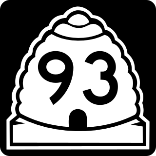
State Route 93 (SR-93) is a state highway in the US state of Utah providing a connection from I-15 to US-89. The highway is completely in the city limits of Woods Cross, spanning 0.37 miles (0.60 km). The entire route is routed along 2600 South. It was formed in 1965 coinciding with the construction of I-15 through the area. At the time of formation, the route at the eastern terminus was legislatively designated SR-106, though it was signed as US-89 and US-91. US-91 was decommissioned in 1974, and the designation of SR-106 changed to the signed route, US-89, in 1977.

State Route 103 (SR-103) is a 0.225-mile-long (362 m) urban minor arterial state highway in the U.S. state of Utah. It branches off from SR-126 in downtown Clearfield and extends east to Interstate 15 (I-15), with the roadway continuing to the Falcon Hill National Aerospace Research Park, just outside Hill Air Force Base. The entire route is located in Davis County and was formed in 1965 coinciding with the construction of I-15.

State Route 109 is a state highway in the U.S. state of Utah. The route serves as an east–west connector in the city of Layton in Davis County.

State Route 131 (SR-131), was a state highway in southern Davis County, Utah, United States from 1933 to 2001. Just prior to being deleted, the route spanned east–west for 0.796 miles (1.281 km) and connected Interstate 15 with SR-106.

The West Davis Corridor is a 16-mile-long (26 km) freeway completely within Davis County in northern Utah. The corridor splits off from Interstate 15 (I-15) and U.S. Route 89 (US-89) along with the Legacy Parkway (SR-67) in Farmington and goes through the western confines of the Ogden–Clearfield metropolitan area before ending at an T-intersection with SR-193 in West Point.

