
State Route 9 (SR-9) is a 57.075-mile-long (91.853 km) state highway in southern Utah, serving Zion National Park. It starts at the western terminus at exit 16 on Interstate 15 (I-15), passing through Zion National Park, and ending at the eastern junction with U.S. Route 89 (US-89). The entire length of the highway has been designated the Zion Park Scenic Byway. There is a fee to travel through Zion National Park, but the Zion-Mt. Carmel Highway is open to private vehicles year-round. A separate fee is required for vehicles 7'10" wide and/or 11'4" tall or larger. This fee pays for a park employee to stop traffic from the other side of the Zion - Mt. Carmel Tunnel to allow the larger vehicles to pass through. There is a smaller tunnel in Zion National Park that does not require an escort. Commercial vehicles are prohibited from using SR-9 and are directed to use SR-20 instead.

State Route 68 (SR-68) is a state highway in the U.S. state of Utah. It is a major thoroughfare throughout the Wasatch Front as it runs north–south for 70.8 miles (113.9 km), linking US-6 near Elberta to US-89 in Woods Cross. The route intersects several major freeways and highways in the Salt Lake City metropolitan area including I-215, I-80, and I-15. The route is more commonly referred to as Redwood Road, after the street it is routed along throughout Salt Lake County. The highway is also routed for a short distance along 500 South and 200 West in Bountiful and Camp Williams Road in Utah County. The route is a surface street for its entire length.

State Route 198 is a highway completely within Utah County in northern Utah that connects Santaquin to Spanish Fork via Payson and Salem. The route runs 16 miles (26 km). The entire length of the route is an old routing of US-6 and US-50; a portion of the route was also US-91. These routes were re-aligned or truncated after the Interstate Highway System was constructed through this part of Utah.
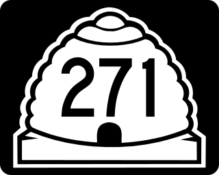
State Route 271 (SR-271) is a state highway within Iron County in the southwestern portion of the US state of Utah that connects Parowan and SR-274 to Paragonah and I-15. The route spans 5.65 miles (9.09 km) south–north and roughly parallels I-15. State Route 271 was designated in 1978.
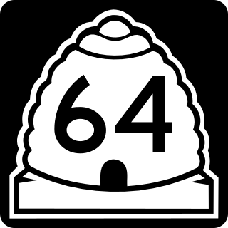
State Route 64 (SR-64) is a state highway in the U.S. state of Utah that serves as a connection from US-50 in the town of Holden to I-15, which bypasses the town. The route is a remnant of old US-91, bypassed by I-15.
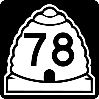
State Route 78 (SR-78) is a 9.418-mile-long (15.157 km) state highway in the U.S. state of Utah that serves as a connector from the town of Levan and SR-28 to Interstate 15 (I-15) and the Chicken Creek Reservoir. The route was formed in 1977 and has preserved its initial state since then.
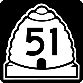
State Route 51 (SR-51) is a short 3.339-mile-long (5.374 km) state highway completely within Utah County in northern Utah. SR-51 connects SR-147 to U.S. Route 89 (US-89). The highway is an old routing of US-91.

State Route 118 (SR-118) is a state highway in the US state of Utah linking I-70/US-89 and Joseph to Richfield. The route is the main street for Joseph, Monroe and Richfield and spans 24.14 miles (38.85 km). The highway was established 1931, initially connecting Joseph to Monroe and Central Valley. Eventually, maintenance of the road was extended north to near Salina.

State Route 54 is a short highway completely within the town of Mona in Juab County in northern Utah that connects Main Street to I-15 in a span of one mile (1.6 km).
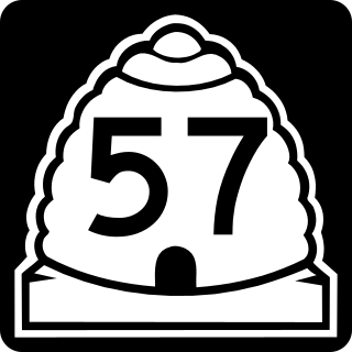
State Route 57 (SR-57) is a state highway in Emery County in the U.S. state of Utah. It runs for 10.69 miles (17.20 km) from the junction with SR-10 three miles (5 km) south of Castle Dale to the Wilberg Coal Mine, northwest of Orangeville.

U.S. Route 89 in the U.S. state of Utah is a north-south United States Highway spanning more than 502 miles (807.891 km) through the central part of the state, making it the longest road in Utah. Between Provo and Brigham City, US-89 serves as a local road, paralleling Interstate 15, but the portions from Arizona north to Provo and Brigham City northeast to Wyoming serve separate corridors. The former provides access to several national parks and Arizona, and the latter connects I-15 with Logan, the state's only Metropolitan Statistical Area not on the Interstate.
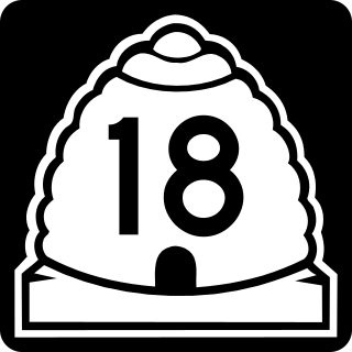
State Route 18 (SR-18) is a state highway in southern Utah, running for 51.005 miles (82.085 km) in Washington and Iron Counties from St. George to Beryl Junction. It forms part of the Legacy Loop Highway from St. George to Parowan. The highway closely follows the route of the Old Spanish Trail through Dixie National Forest.

State Route 224 (SR-224) is a north–south state highway in the U.S. state of Utah. The route connects Interstate 80 and Kimball Junction in the north to Park City in the south. Ski resorts line the mostly four-lane highway, including Park City Resort and Deer Valley. The highway has changed paths many times since its formation in 1941, at one point connecting to Big Cottonwood Canyon and Salt Lake County. However, realignments brought the route to its present path by 1990.
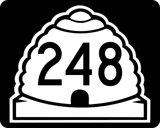
State Route 248 is a highway in northern Utah that connects Park City with Kamas. In Park City it is known as Kearns Boulevard.
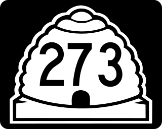
State Route 273 (SR-273) is a state highway completely within Davis County in the northern portion of the U.S. state of Utah that connects Farmington and US-89 to Kaysville and I-15.

State Route 36 (SR-36) is a highway in northern Utah connecting US-6 in northern Juab County to I-80 in northern Tooele County.

State Route 39 (SR-39) is a state highway in northern Utah connecting Ogden to Woodruff via Ogden Canyon and Huntsville. The highway is on 12th Street in Ogden and the Ogden River Scenic Byway through Ogden Canyon. The route is over sixty-seven miles long.

State Route 59 (SR-59) is a state highway in the U.S. state of Utah. The highway connects Hurricane to the twin cities of Hildale and Colorado City, Arizona. The highway connects to US-89A through Arizona State Route 389. The route was added to the state highway system in 1914, and has had several designations.

State Route 44 (SR-44) is a state highway in the U.S. state of Utah that runs from US-191 at Greendale Junction, southwest of Dutch John, to SR-43 in Manila. The route spans 27.99 miles (45.05 km) as it straddles the southern and western border of the Flaming Gorge National Recreation Area, and, along with US-191 is part of the Flaming Gorge-Uintas Scenic Byway.
State Route 135 (SR-135) is a short divided state highway in northern Utah County, Utah, United States. The route spans east–west for 0.726 miles (1.168 km) to connect the far northeastern part of Lindon and Interstate 15 (I-15) with SR-129 in the southeastern part of Pleasant Grove. The majority of the route runs along Pleasant Grove Boulevard.

