Transportation in the Philippines covers the transportation methods within the archipelagic nation of over 7,600 islands. From a previously underdeveloped state of transportation, the government of the Philippines has been improving transportation through various direct infrastructure projects, and these include an increase in air, sea, road, and rail transportation and transport hubs.

Calabarzon, sometimes referred to as Southern Tagalog and designated as Region IV‑A, is an administrative region in the Philippines. The region comprises five provinces: Batangas, Cavite, Laguna, Quezon, and Rizal; and one highly urbanized city, Lucena. It is the most populous region in the Philippines, according to the Philippine Statistics Authority (PSA), having over 16.1 million inhabitants in 2020, and is also the country's second most densely populated after the National Capital Region. It is situated southeast of Metro Manila, and is bordered by Manila Bay and South China Sea to the west, Lamon Bay and the Bicol Region to the east, Tayabas Bay and the Sibuyan Sea to the south, and Central Luzon to the north. It is home to places like Mount Makiling near Los Baños, Laguna, and Taal Volcano in Batangas. Calamba is the regional center while Antipolo is the most populous city in the region.

Batangas, officially the Province of Batangas, is a first class province of the Philippines located in the southwestern part of Luzon in the Calabarzon region. Its capital is the city of Batangas, and is bordered by the provinces of Cavite and Laguna to the north, and Quezon to the east. Across the Verde Island Passages to the south is the island of Mindoro and to the west lies the South China Sea. Poetically, Batangas is often referred to by its ancient name, Kumintáng.

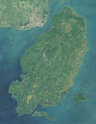
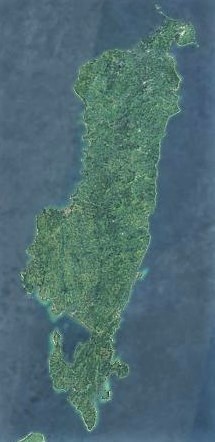
Oriental Mindoro, officially the Province of Oriental Mindoro, is a province in the Philippines located on the island of Mindoro under Mimaropa region in Luzon, about 140 kilometres (87 mi) southwest of Manila. The province is bordered by the Verde Island Passage and the rest of Batangas to the north, by Marinduque, Maestre de Campo Island, Tablas Strait and the rest of Romblon to the east, by Semirara and the rest of Caluya Islands, Antique to the south, and by Occidental Mindoro to the west. Its provincial capital Calapan, the only city in the island, is the most-populous in the province, and Mimaropa's regional center.
Guimaras, officially the Province of Guimaras, is an island province in the Philippines located in the Western Visayas region. The capital is Jordan, while the largest local government unit is the municipality of Buenavista. The province is situated in Panay Gulf, between the islands of Panay and Negros. To the northwest is the city and province of Iloilo and to the southeast is Negros Occidental. The whole island is part of the Metro Iloilo–Guimaras, one of the twelve metropolitan areas of the Philippines.

Puerto Galera, officially the Municipality of Puerto Galera, is a 1st class municipality in the province of Oriental Mindoro, Philippines. According to the 2020 census, it has a population of 41,961 people.

Tagaytay, officially the City of Tagaytay, is a 2nd class component city in the province of Cavite, Philippines. According to the 2020 census, it has a population of 85,330 people.

Batangas City, officially the City of Batangas, is a 1st class component city and capital of the province of Batangas, Philippines. According to the 2020 census, it has a population of 351,437 people.
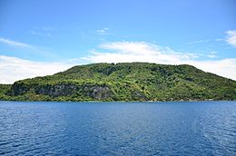
Tablas is the largest of the islands that comprise the province of Romblon in the Philippines. The name of the island is of Spanish origin. Before the colonization of the Philippines, Tablas was known as the Island of Osigan. At the time of contact with Westerners, Osigan had a population of 256 people living in small villages. Wax was produced in this island.

Iba, officially the Municipality of Iba, is a 1st class municipality and capital of the province of Zambales, Philippines. According to the 2020 census, it has a population of 55,581 people.

Calapan, officially the City of Calapan, is a 3rd class component city and the capital of the province of Oriental Mindoro, Philippines. According to the 2020 census, it has a population of 145,786 people making it the most populous in Oriental Mindoro and second in the entire Mindoro Island after San Jose in Occidental Mindoro. The city is also the regional center of Mimaropa region, as well as its second biggest city.

Batangas Bay is a semi-enclosed body of water situated in the province of Batangas in Luzon island in the Philippines. The bay is an extension of the Verde Island Passage and is separated from Balayan Bay to the west by the Calumpan Peninsula, which juts out to Maricaban Island across the Maricaban Strait.

The Philippine Nautical Highway System, also the Road Roll-on/Roll-off Terminal System (RRTS) or simply the RoRo System, is an integrated network of highway and vehicular ferry routes which forms the backbone of a nationwide vehicle transport system in the Philippines. It is a system of roads and ports developed by the Philippine government to connect the major islands of Luzon, the Visayas and Mindanao. The 919-kilometer (571 mi) nautical highway was opened to the public on April 12, 2003 as the Strong Republic Nautical Highway (SRNH).

The Verde Island Passage is a strait that separates the islands of Luzon and Mindoro in the Philippines, connecting the South China Sea with the Tayabas Bay and the Sibuyan Sea beyond. Traditionally, the sea lane has been one of the busiest in the Philippines because it acts as a corridor from the Port of Manila to the Visayas and Mindanao in the south. A network of ferry routes cross the passage and connect the surrounding provinces of Batangas, Marinduque, Occidental Mindoro, Oriental Mindoro and Romblon. The Verde Island Passage is identified as a site of highest marine biodiversity importance in the Coral Triangle. The 1.14 million hectare passage is extremely rich in marine biodiversity and has been called "Center of the Center of Marine Shorefish Biodiversity" with various conservation groups and local government units pushing for its nomination as a UNESCO World Heritage Site.

Batangas State University, The National Engineering University is a state university in the province of Batangas, Philippines. Established in 1903 as a training school, Batangas State University is the oldest higher education institution in the region. It was granted a state college status in 1968, renamed Pablo Borbon Memorial Institute of Technology, and was finally elevated into a state university in 2001. At present, the university has eleven campuses in Batangas.

The Batangas International Port or locally known as the Batangas Pier is a seaport in Barangay Santa Clara, Batangas City primarily serving the Calabarzon region of the Philippines. The seaport covers an area of about 150 hectares.
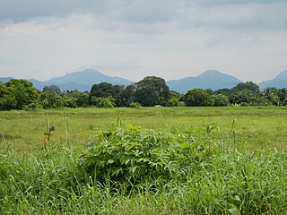
The Mounts Palay-Palay–Mataas-na-Gulod Protected Landscape is a 3,973.13-hectare (9,817.8-acre) protected area encompassing the Palay-Palay Mountain Range in southwestern Luzon island near Manila in the Philippines. It was established on October 26, 1976 as a national park and game refuge and bird sanctuary covering an initial area of 4,000 hectares. In 2007, the national park was designated as a protected landscape area under the National Integrated Protected Areas System through Proclamation No. 1315 signed by President Gloria Arroyo. The park is the last remaining lowland rainforest in the province of Cavite and is well known for Mount Pico de Loro, a popular destination for mountaineers and hikers from Metro Manila.

Cape Santiago Lighthouse, also known as Faro de Cabo Santiago, is a historic lighthouse located about 130 kilometres (81 mi) southwest of Manila in Barangay Bagong Silang, Calatagan, Batangas, Philippines. It is the oldest working lighthouse in Batangas and one of the oldest working lighthouses in the Philippines. It serves as a guide for ships passing through the Verde Island Passage and entering Manila Bay.

Malabrigo Point Lighthouse, also known as Faro de Punta Malabrigo, is a historic lighthouse located about 115 kilometres (71 mi) southeast of Manila in Barangay Malabrigo, Lobo, Batangas, Philippines. Completed and lit in 1896, it is one of the oldest working lighthouses in the Philippines as well as the best preserved lighthouse in the country. It serves as a guide for ships passing through the Verde Island Passage going to either Batangas Bay or Sibuyan Sea.