This article needs additional citations for verification .(September 2024) |
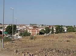

Viveros is a municipality [ citation needed ] in Albacete, Castile-La Mancha, Spain. [1] It has a population of 512.
This article needs additional citations for verification .(September 2024) |
Viveros is a municipality [ citation needed ] in Albacete, Castile-La Mancha, Spain. [1] It has a population of 512.
38°47′N2°35′W / 38.783°N 2.583°W
| | This Albacete Province location article is a stub. You can help Wikipedia by adding missing information. |