The Eurovision Song Contest 1969 was the 14th edition of the annual Eurovision Song Contest. It took place in Madrid, Spain, following the country's victory at the 1968 contest with the song "La La La" by Massiel. Organised by the European Broadcasting Union (EBU) and host broadcaster Televisión Española (TVE), the contest was held at the Teatro Real on 29 March 1969 and was hosted by Spanish television presenter and actress Laurita Valenzuela.

Felipe VI is King of Spain. In accordance with the Spanish Constitution, as monarch, he is head of state and commander-in-chief of the Spanish Armed Forces, holding the military rank of captain general, and also plays the role of the supreme representation of Spain in international relations.

The Princess of Asturias Awards, formerly the Prince of Asturias Awards from 1981 to 2014, are a series of annual prizes awarded in Spain by the Princess of Asturias Foundation to individuals, entities or organizations from around the world who make notable achievements in the sciences, humanities, and public affairs.

The Supercopa de España, also known as the Spanish Super Cup, is a super cup tournament in Spanish football. Founded in 1982 as a two-team competition, the current version has been contested since 2020 by four teams: the winners and runners-up of the Copa del Rey and La Liga.

Paulo César da Silva Barrios is a Paraguayan professional footballer who plays for Atlántida in Paraguay, as a centre-back.

Leonor, Princess of Asturias is the heir presumptive to the Spanish throne. She is the elder daughter of King Felipe VI and Queen Letizia.

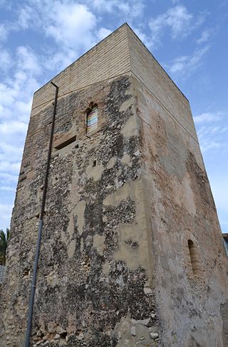
Novetlè is a municipality in the comarca of Costera in the Valencian Community, Spain.
Miss Paraguay is a national beauty pageant in Paraguay established in 1915. It currently selects Paraguay's representatives for the Miss Intercontinental and Reinado Internacional del Café pageants.

MTV is a Spanish pay television channel which focuses its programming on general entertainment and music. It was launched on 10 September 2000 and is owned by Paramount Global. It used to be available on the Spanish digital terrestrial television platform between 2010 and 2014, until it moved back to pay television due to a low audience figure.

Els Poblets, also known as Setla, Mira-rosa i Miraflor, is a municipality in the Valencian Community, Spain. It is situated in the north of the province of Alicante. The population is 2,763.

Miss Venezuela 2012 was the 59th edition of the Miss Venezuela pageant, held at the Salón Naiguatá, Hotel Tamanaco Intercontinental in Caracas, Venezuela, on August 30, 2012.

The Player of the Month is an association football award that recognises the best La Liga player each month of the season.

Pedro Sánchez Pérez-Castejón is a Spanish politician who has been Prime Minister of Spain since June 2018. He has also been Secretary-General of the Spanish Socialist Workers' Party (PSOE) since June 2017, having previously held that office from 2014 to 2016, and was elected President of the Socialist International in November 2022.

Pablo Ignacio Galdames Millán is a Chilean professional footballer who plays as a defensive midfielder for Vasco da Gama. He plays for the Chile national team.

La casa de los famosos is an American Spanish-language version of the reality television franchise Celebrity Big Brother, adaptation of Big Brother. The show premiered on Telemundo on August 24, 2021.

Chanel Terrero Martínez, known mononymously as Chanel, is a Cuban-born Spanish singer, dancer and actress, having worked in several stage musicals. She represented Spain at the Eurovision Song Contest 2022, after having won Benidorm Fest 2022 with her debut single "SloMo". She finished in third place with 459 points, the best placing for Spain since the 1995 contest.


