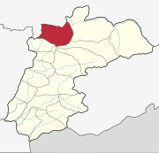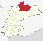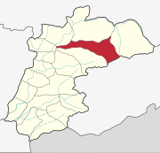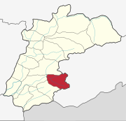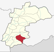
Kasaragod is a municipal town and administrative headquarters of Kasaragod district in the state of Kerala, India. Established in 1966, Kasaragod was the first municipal town in the district. It is the northernmost district of Kerala and is also known as Sapta Bhasha Sangama Bhumi.
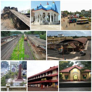
Kanhangad is a major town, located in the Kasaragod District, state of Kerala, India.
Padne is a village in the southernmost part of the Kasaragod district, state of Kerala, India.

Kumbla is a small town in Kasaragod district of Kerala state in India. It is located 12 km north of Kasaragod town.
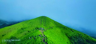
Kasaragod is one of the 14 districts in the southern Indian state of Kerala. Its northern border Thalappady is located just 9 km south to Ullal, which is the southernmost portion of the major port city Mangalore, on the southwestern Malabar coast of India.
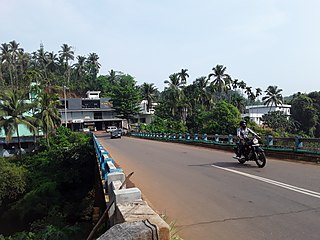
Cherupuzha is a town in Kannur district, Kerala, India. It is the headquarters of the Cherupuzha Panchayat which is a special grade panchayat in Kerala.
Kuttikole is a village and Gram Panchayat in the Kasaragod district in the Indian state of Kerala.

Badiyadka officially known as "Badiadka" is a town and gram panchayat in the Kasaragod district, state of Kerala, India.

Bandadka is a small town in Kasaragod district in the state of Kerala, India. It is also called Kottakal because of Bandadka Fort. It comes under Kuttikole Grama Panchayat. It is located 38 km (24 mi) towards east from the District headquarters Kasaragod, 568 km (353 mi) away from the State capital Thiruvananthapuram, 5 km (3.1 mi) west of Karnataka border and 20 km (12 mi) away from Sullia. Bandadka's pin code is 671541 and it's postal head office is Chengala.
Chittarikkal is a town in Vellarikundu Taluk in Kasaragod district in the state of Kerala, India. It is also a ward of the East Eleri grama panchayat.

Karadka is a village, block panchayat and grama panchayat in Kasaragod district in the state of Kerala, India.
Karindalam is a village in Kasaragod district in the state of Kerala, India.
Kinanoor or Kinavoor is an ancient Village capital situated in Sahya Hill area of Kasaragod district in the state of Kerala, India.It is situated between Nileshwar and Parappa.
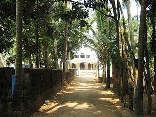
Mangalpady is a Grama Panchayat in Kasaragod district, Kerala. Uppala is the major town in this panchayat.
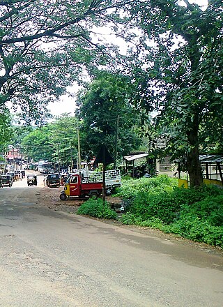
Vellarikund is a town and taluk headquarters in the Hill range of Kasaragod District in the state of Kerala. Vellarikundu is located between Odayanchal and Chittarikkal on Odayanchal-Cherupuzha Road.

Perla is an administrative capital of Enmakaje Panchayat, which is in Kasaragod district, Kerala, India.

Mulleria is a small town located in Karadka Panchayath, Kasaragod district in Kerala, India.
Kayyur–Cheemeni Grama Panchayat is a Gram Panchayat in Kasargod district of Kerala. The gram panchayat, which covers an area of 72.70 km2 and is located in the Neeleswaram block of Hosdurg taluk in Kasaragod district. This gram panchayat includes Kayyur, Cheemeni, Thimiri and Klayikode villages. There are 16 wards in this gram panchayat.
Parappa is a village and block panchayat in Vellarikundu taluk of Kasaragod district in the Indian state of Kerala.
East Eleri is a grama panchayat in Kasaragod district in the Kerala state, India. Its major villages include Chittarikkal and Palavayal.


