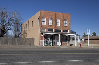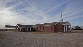
Whiteface is a town in Cochran County, Texas, United States. The population was 449 at the 2010 census.

Cotton Center is an unincorporated community in western Hale County, Texas, United States, located about 12 miles southwest of Hale Center. Until the late 19th century, the Comanche tribe of Native Americans occupied the area. In 1907, with the coming of a branch of the Santa Fe Railroad, a number of farming operations were established. Cotton Center was originally created in 1925 as a consolidated school district, with a small unincorporated community site, containing the school, cotton gins, and various businesses to support the surrounding farms. In 1935, a local post office opened, and the first irrigation well was drilled. By the late 1940s, irrigation wells proliferated, pumping water from the Ogallala Aquifer. The community revolves around farming and is tied together by the school, which as of 2005 had 140 students in prekindergarten through grade 12.

Ira is an unincorporated community in Scurry County, Texas, United States. It lies in the southwestern corner of the county at the junction of State Highway 350 and Farm to Market Road 1606, 10 miles southwest of Snyder, and has an estimated population of 250.

Afton is an unincorporated community in northern Dickens County, Texas, United States.

The Pease River is a river in Texas, United States. It is a tributary of the Red River that runs in an easterly direction through West Texas. It was discovered and mapped for the first time in 1856 by Jacob de Córdova, who found the river while surveying for the Galveston, Houston and Henderson Railroad Company; it was named after Texas Governor Elisha M. Pease. In December 1860, the Texas Rangers recaptured Cynthia Ann Parker and her daughter from the Comanche Indians at an engagement along the river.

Tee Pee City is a ghost town located in eastern Motley County near Matador, Texas. The ghost town is near the confluence of Tee Pee Creek and the Middle Pease River in eastern Motley County. The site, originally a Comanche campground, derived its name from the numerous teepee poles found up and down the creek by early settlers.
Acuff is an unincorporated farming community in northeastern Lubbock County, Texas, United States. It is part of the Lubbock Metropolitan Statistical Area.

Slide is an unincorporated community in Lubbock County, Texas, United States. It lies at the junction of FM 1730 and FM 41, 13 miles south of Lubbock, and has an estimated population of 44. The community is part of the Lubbock metropolitan area.

Woodrow is an unincorporated community in southern Lubbock County, Texas, United States. It lies on U.S. Route 87, ten miles south of Lubbock, and has an estimated population of 85. It is part of the Lubbock Metropolitan Statistical Area.

Southland is an unincorporated community in Garza County, Texas, United States. It lies along the eastern edge of the Llano Estacado on U.S. Route 84, twenty miles northwest of Post.

Cone is an unincorporated community in Crosby County, Texas, United States. It lies on U.S. Route 62, thirty-four miles northeast of Lubbock, has an estimated population of 70. Cone is part of the Lubbock Metropolitan Statistical Area

Dougherty is a small unincorporated community in Floyd County, Texas, United States.
Flomot is an unincorporated community in Motley County, Texas, United States. According to the Handbook of Texas, the community had an estimated population of 181 in 2000.

Bula is an unincorporated community in Bailey County, Texas, United States. According to the Handbook of Texas, the community had a population of 35 in 2000.

Grassland is an unincorporated community in Lynn County, West Texas, United States. According to the Handbook of Texas, the community had an estimated population of 61 in 2000.

Patricia is an unincorporated community in Dawson County, Texas, United States.

Becton is an unincorporated community in northeastern Lubbock County, Texas, United States, approximately 18 mi (29 km) northeast of Lubbock. This small rural community lies on the high plains of the Llano Estacado in West Texas.

Wastella is a ghost town in northwestern Nolan County, Texas, United States. It is located at the intersection of U.S. Highway 84 and Farm to Market Road 1982, approximately 8 mi (13 km) northwest of Roscoe. It lies within the physiographic region known as the Rolling Plains, to the southeast of the high plains of the Llano Estacado.

Roundup is an unincorporated community located in northeastern Hockley County, Texas, United States. The town is located on the high plains of the Llano Estacado at the intersection of U.S. Route 84 and Farm to Market Road 2130 between Anton and Shallowater.

Quitaque Creek is an intermittent stream about 40 mi (64 km) long, originating as a shallow draw on the high plains of the Llano Estacado in Floyd County, Texas, and flowing eastward to join the North Pease River in Motley County, Texas.


