Monschau is a small resort town in the Eifel region of western Germany, located in the Aachen district of North Rhine-Westphalia.

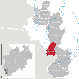
Roetgen is a municipality in the district of Aachen, in North Rhine-Westphalia, Germany.

Heimbach is a town in the district of Düren of the state of North Rhine-Westphalia, Germany. It is located on the river Rur, in the Eifel hills, approx. 20 km south of Düren. Heimbach has the smallest population of any town in North Rhine-Westphalia. The districts of the city are Blens, Düttling, Hasenfeld, Hausen, Hergarten and Vlatten, which prior to 1972 were villages with their own administration. Between Hausen and Hergarten lies the hamlet of Walbig, and between Hasenfeld and Schmidt is the hamlet of Buschfelder Hof, which formerly belonged to Blens.
The North Eifel, the northern part of the Eifel, a low mountain range in Germany and East Belgium, comprises the following six sub-regions:

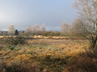
The German-Belgian High Fens – Eifel Nature Park, often called the North Eifel Nature Park, is a cross-border nature park with elements in the German federal states of North Rhine-Westphalia and Rhineland-Palatinate as well as the Belgian province of Liège. It has a total area of 2,485 km2 (959 sq mi).

The Urft is a 46.4-kilometre-long (28.8 mi) right-hand tributary of the Rur in the county of Euskirchen in the German state of North Rhine-Westphalia. It flows through the village of Urft in the municipality of Kall. The Urft rises in the North Eifel region of the Eifel Mountains.

The Urft Dam is a 58.50 metre high dam in the southwestern part of the state of North Rhine-Westphalia in Germany. It was built in 1905. The dam impounds the River Urft in the district of Euskirchen to create the Urft Reservoir (Urftstausee), 2.16 km² in area. The reservoir is also called the Urftsee.

The Wildnis Trail is a long-distance hiking path in the Eifel National Park in North Rhine-Westphalia, Germany. The path is 85 km long and leads through the entire national park from Southwest to Northeast. The trail brings the hiker through all different zones of the national park. These include forest, heath, grassland, artificial lakes and mountain streams.

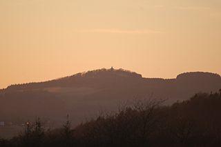
The Michelsberg, at 586.1 m above sea level (NHN), is the highest point in the borough of Bad Münstereifel in the county of Euskirchen in the German state of North Rhine-Westphalia. The hill, which rises near the village of Mahlberg belongs to that part of the Eifel mountains known as the Ahr Hills (Ahreifel), and is the second highest point in the range.

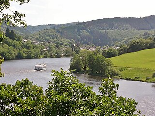
The Obersee near Simmerath in the borough of Aachen is the main forebay of the Rur Reservoir on the River Rur in the Eifel mountains of Germany. Its barrier is the Paulushofdamm. The reservoir, like that of the Rur Dam, belongs to the Eifel-Rur Water Company. The reservoir provides drinking water.

Schöneseiffen is a village southwest of Schleiden in the county of Euskirchen| in the German state of North Rhine-Westphalia. The Dieffenbach stream rises north of the village. Schöneseiffen has a population of about 415. Schöneseiffen has sports field, a Bürgerhaus and a youth centre.

The Olef Dam is located in the vicinity of the Eifel National Park near Hellenthal within the High Fens-Eifel Nature Park in the county of Euskirchen in the German state of North Rhine-Westphalia. Its reservoir stores around 20 million cubic metres and is fed by the River Olef.

Wolfgarten is a village in the north of the borough of Schleiden in the Eifel mountains in the county of Euskirchen in the German state of North Rhine-Westphalia. The village has a population of about 210.

The Sonnenberg, near Heimbach in the county of Düren in the state of North Rhine-Westphalia, is a hill, 393.3 m above sea level (NHN), in the Rur Eifel, a northern part of the Eifel mountains in Germany.


