Related Research Articles
South Cadbury is a village and former civil parish, now in the parish of South Cadbury and Sutton Montis, in the Somerset district of the ceremonial county of Somerset, England. The parish includes the village of Sutton Montis.
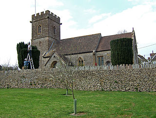
Charlton Horethorne is a village and civil parish in Somerset, England, situated 5 miles (8 km) south-west of Wincanton and 5 miles (8 km) north-east of Sherborne in the neighbouring county of Dorset. The village has a population of 591. The parish also includes Stowell.

Charlton Musgrove is a village and civil parish in Somerset, England, situated 1 mile (1.6 km) north east of Wincanton in the South Somerset district. The village has a population of 398. The parish includes the hamlets of Barrow, Holbrook, Southmarsh, and part of Shalford.
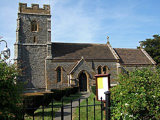
Holton is a village and parish in Somerset, England, situated on the A303 road 2 miles (3.2 km) south west of Wincanton in the South Somerset district. The village has a population of 238.

Maperton is a village and civil parish in Somerset, England, situated 3 miles (4.8 km) south west of Wincanton in the South Somerset district. The village has a population of 140. However, this small number includes Elliscombe House care home which alone has an average of 40 residents.

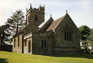
Yarlington is a village and civil parish, near the source of the River Cam, in the English county of Somerset.

North Barrow is a village and civil parish 8 miles (13 km) to the north-east of Ilchester in the South Somerset district of Somerset, England.
South Barrow is a village and civil parish approximately 2 miles (3 km) north of Sparkford and 7 miles (11 km) north-east of Ilchester in the South Somerset district of Somerset, England.

Burnham Without is a civil parish in the main located to the east of Burnham-on-Sea and to the north and northeast of Highbridge in Somerset, England.
Bridgwater was a rural district in Somerset, England, from 1894 to 1974.
Clutton was a rural district in Somerset, England, from 1894 to 1974.
Dulverton was a rural district in Somerset, England, from 1894 to 1974.
Frome was a rural district in Somerset, England, from 1894 to 1974.
Langport was a rural district in Somerset, England, from 1894 to 1974.
Long Ashton was a rural district in Somerset, England, from 1894 to 1974.
Shepton Mallet was a rural district in Somerset, England, from 1894 to 1974.
Taunton was a rural district in Somerset, England, from 1894 to 1974.
Wells was a rural district in Somerset, England, from 1894 to 1974.
Williton was a rural district in Somerset, England, from 1894 to 1974.
Yeovil was a rural district in Somerset, England, from 1894 to 1974.