| Corton Denham | |
|---|---|
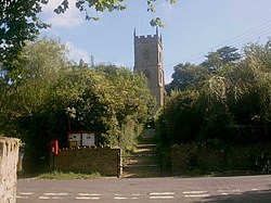 Corton Denham Church | |
 Waterwheel at Whitcombe Farm | |
 Corton Denham Location within Somerset | |
| Population | 189 (2011) [1] |
| OS grid reference | ST635225 |
| Unitary authority | |
| Ceremonial county | |
| Region | |
| Country | England |
| Sovereign state | United Kingdom |
| Post town | SHERBORNE |
| Postcode district | DT9 |
| Dialling code | 01963 |
| Police | Avon and Somerset |
| Fire | Devon and Somerset |
| Ambulance | South Western |
| UK Parliament | |
Corton Denham is a village and parish in Somerset, England, situated seven miles north east of Yeovil. The village has a population of 189. [1]
