
The United States Numbered Highway System is an integrated network of roads and highways numbered within a nationwide grid in the contiguous United States. As the designation and numbering of these highways were coordinated among the states, they are sometimes called Federal Highways, but the roadways were built and have always been maintained by state or local governments since their initial designation in 1926.

State Route 59 is an east–west state highway in the U.S. state of Ohio, serving the Akron metropolitan area. The western terminus of State Route 59 is in downtown Akron at a partial interchange with the Interstate 76/Interstate 77 concurrency, and the eastern terminus is at State Route 5, 0.5 miles (0.80 km) east of Ravenna. The route is approximately 23 miles (37 km) long and was certified in 1969 over what had previously been part of SR 5. It serves as a major or as the primary east–west roadway for the cities of Cuyahoga Falls, Kent, Ravenna, and Stow, the village of Silver Lake, and Franklin and Ravenna Townships.

Route 102 is a 44.4-mile-long (71.5 km) numbered state highway in the U.S. state of Rhode Island. Route 102 serves as a non-freeway beltway around the Providence metro area. It begins in the village of Wickford and travels through less developed areas of western Rhode Island. The route ends in the village of Slatersville.
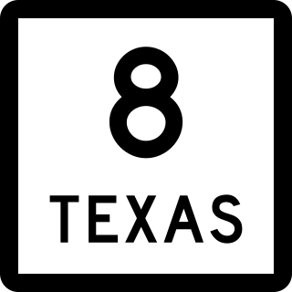
State Highway 8 is a north–south state highway in the U.S. state of Texas that runs from the Red River, which serves as the boundary between Texas and Arkansas, north of New Boston to SH 155 at Linden.

Texas state highways are a network of highways owned and maintained by the U.S. state of Texas. The Texas Department of Transportation (TxDOT) is the state agency responsible for the day-to-day operations and maintenance of the system. Texas has the largest state highway system, followed closely by North Carolina's state highway system. In addition to the nationally numbered Interstate Highways and U.S. Highways, the highway system consists of a main network of state highways, loops, spurs, and beltways that provide local access to the other highways. The system also includes a large network of farm to market roads that connect rural areas of the state with urban areas and the rest of the state highway system. The state also owns and maintains some park and recreational roads located near and within state and national parks, as well as recreational areas. All state highways, regardless of classification, are paved roads. The Old San Antonio Road, also known as the El Camino Real, is the oldest highway in the United States, first being blazed in 1691. The length of the highways varies from US 83's 893.4 miles (1,437.8 km) inside the state borders to Spur 200 at just 0.05 miles long.

Maryland Route 222 (MD 222) is a state highway in the U.S. state of Maryland. The highway runs 11.36 miles (18.28 km) from MD 7 in Perryville north to U.S. Route 1 (US 1) near Conowingo. MD 222 connects Perryville, Port Deposit, and Conowingo along its route paralleling the Susquehanna River in western Cecil County. Due to limitations in the highway in Port Deposit, including a steep hill and a low-clearance railroad bridge, trucks are directed to use MD 275, MD 276, and US 1 through Woodlawn and Rising Sun to connect Interstate 95 (I-95) with US 222 in Conowingo.

State Highway 43 is a Texas state highway that runs from Henderson to Atlanta.

New York State Route 43 (NY 43) is a state highway in Rensselaer County, New York, in the United States. It extends for 24.00 miles (38.62 km) from Interstate 90 (I-90) exit 8 in North Greenbush to the Massachusetts state line, where it continues into Williamstown as Massachusetts Route 43. Most of NY 43 is a two-lane highway that passes through a mixture of rural and residential areas; however, its westernmost 2 miles (3.2 km) between I-90 and U.S. Route 4 (US 4) is a four-lane divided highway. NY 43 has an overlap with NY 66 in Sand Lake and intersects NY 22 in Stephentown.
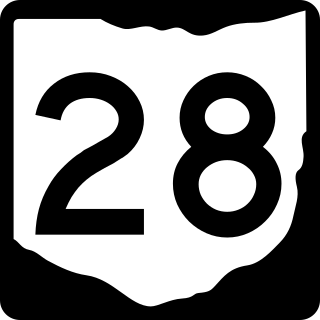
State Route 28 (SR 28) is an east–west state highway in the U.S. state of Ohio. Both of the route's termini are on U.S. Route 50 (US 50). Its western end is in Milford and its eastern end is near Chillicothe. The route has an interchange with Interstate 275 (I-275), and also intersects US 68 and US 62. The route was formerly signed as SR 27 before that number was assigned to US 27 in 1926.

The History of State Highways in Virginia begins with Virginia's State Highway Commission, which was formed by the General Assembly in 1906. In 1918 the General Assembly designated a 4002-mile (6441 km) state highway system to be maintained by the commission. Beginning in 1922, the commission was authorized to add annually mileage equal to 2.5% of the original system. These highways were numbered from 1 into the 20s; by 1922 suffixed spurs had been added. In 1923, the first renumbering was implemented, in which State Routes 1 to 9 became 31 to 39. The spurs were renamed to use numbers rather than letters, and four-digit numbers were used for spurs of spurs or for "rollovers".

State Route 13 is a primary state highway in the U.S. state of Virginia. Known as Old Buckingham Road, the state highway runs 24.08 miles (38.75 km) from U.S. Route 60 and SR 45 in Cumberland east to US 60 in Plain View. SR 13 parallels US 60 to the south through eastern Cumberland County and western Powhatan County and passes through the latter county's seat of Powhatan. The state highway is the only state-numbered highway in Virginia that shares a number with a U.S. Highway but does not form a state-numbered extension of that U.S. Highway. SR 13's number comes from being a segment of the original cross-state SR 13 in 1918; that highway included portions of modern US 60. In 1933, US 60 was shifted to its present corridor between Buena Vista and Richmond, replacing SR 13. Two years later, SR 13 was assigned to Old Buckingham Road when US 60 was moved to its present alignment from Cumberland to east of Powhatan.
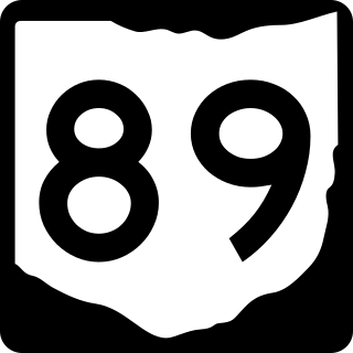
State Route 89 is a north–south state highway in the northern part of the U.S. state of Ohio. State Route 89 travels from its southern terminus at a T-intersection with State Route 95 approximately 5 miles (8 km) southeast of Hayesville to its northern terminus at a Y-intersection with State Route 58 nearly 3 miles (4.8 km) north of Polk.

State Trunk Highway 45 was a number assigned to two different state highways in the U.S. state of Wisconsin:

State Trunk Highway 51 was a number assigned to two different state highways in the U.S. state of Wisconsin:

State Route 6 (SR 6) is a state highway that is unsigned. It travels through the central part of the U.S. state of Tennessee from Lawrence County to Sumner County. The highway is related to the following U.S. Highways:
This page is based on this
Wikipedia article Text is available under the
CC BY-SA 4.0 license; additional terms may apply.
Images, videos and audio are available under their respective licenses.
