| Xingyi 邢邑 | |
|---|---|
| Town | |
| Chinese transcription(s) | |
| Country | China |
| Province | Hebei |
| Prefecture | Baoding |
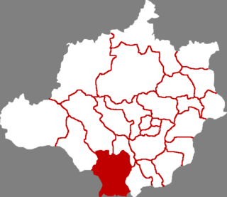
| County-level city | Dingzhou |
| Time zone | China Standard Time (UTC+8) |
Xingyi (Chinese :邢邑; pinyin :Xíngyì) is a town situated in Dingzhou, Baoding, Hebei, China. [1]

Chinese is a group of related, but in many cases not mutually intelligible, language varieties, forming the Sinitic branch of the Sino-Tibetan language family. Chinese is spoken by the Han majority and many minority ethnic groups in China. About 1.2 billion people speak some form of Chinese as their first language.
Hanyu Pinyin, often abbreviated to pinyin, is the official romanization system for Standard Chinese in mainland China and to some extent in Taiwan. It is often used to teach Standard Mandarin Chinese, which is normally written using Chinese characters. The system includes four diacritics denoting tones. Pinyin without tone marks is used to spell Chinese names and words in languages written with the Latin alphabet, and also in certain computer input methods to enter Chinese characters.
Dingzhou, or Tingchow in Postal Map Romanization, and formerly called Ding County or Dingxian, is a county-level city in the prefecture-level city of Baoding, Hebei Province. As of 2009, Dingzhou had a population of 1.2 million. Dingzhou has 3 subdistricts, 13 towns, 8 townships, and 1 ethnic township. Dingzhou is about halfway between Baoding and Shijiazhuang, 196 kilometers (122 mi) southwest of Beijing, and 68 kilometers (42 mi) northeast of Shijiazhuang.

