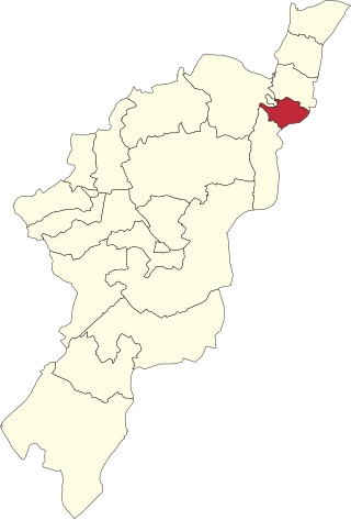
Yola, meaning 'Great Plain' or 'Vast Plain Land', is the capital city and administrative centre of Adamawa State, Nigeria. It is located on the Benue River, and has a population of over 336,648 (2010). Yola is split into two parts. The old town of Yola where the Lamido of Adamawa resides, is the traditional city and the new city of Jimeta is the administrative and commercial centre.

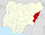
Adamawa State is a state in the North-East geopolitical zone of Nigeria, bordered by Borno to the northwest, Gombe to the west, and Taraba to the southwest while its eastern border forms part of the national border with Cameroon. It takes its name from the historic emirate of Adamawa, with the emirate's old capital of Yola serving as the capital city of Adamawa State. The state was formed in 1991 when the former Gongola State was broken up into Adamawa and Taraba states. The state is one of the most heterogeneous in Nigeria, having over 100 indigenous ethnic groups.

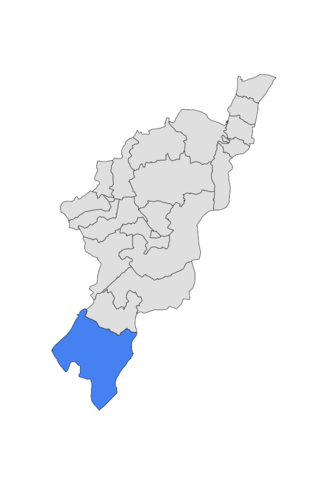
Song is a town and Local Government Area in Adamawa State, Nigeria is a town and also a local government area in the state with the area council consisting districts of Song, Dumme, Dirma, Kilange, Funa, Gudu, Mboi, Kilange, Hirna, Gari, Waje, Suktu, Zumo, Waltandi and Ditera.

Gboko is a Local Government Area in Benue state, North-central Nigeria. It is headquartered in the town of Gboko.
Jimeta is a town in Yola, Adamawa State, Nigeria. The town's population was 73,080 in 1991. The elevation of Jimeta is 135 m, and it lies along the Benue River.
Oyigbo also known as Obigbo is a Local Government Area located in Rivers State, Nigeria. It is a town, 30 kilometers from the Port city of Port Harcourt, 25km from the city of Aba. It's predominantly inhabited by the Asa people an indigenous Igbo people who are also found in Ukwa west L.G.A in Abia state and the Ndoki people who are also found in Ukwa East L.G.A of Abia state and Ukanafun L.G.A of Akwa ibom state
Demsa is a Local Government Area of Adamawa State, Nigeria with headquarters located in Demsa. Demsa lies on the Benue River.

Fufore is a town and local government area in Adamawa State, Nigeria.

Ganye is a town and Local Government Area of Adamawa State, Nigeria. Jada and Toungo Local Governments were carved out from Ganye local government area of Adamawa state Nigeria. Ganye is bordered by Jada Local Government Area to the North and East, Toungo Local Government Area to the South and Taraba State to the West. It is the headquarter of the Sama (Chamba) people worldwide.

Girei is a town and local government area of Adamawa State, Nigeria. It lies on the Benue River. The dominant tribe in the area are the Fulɓe or Fulani; however, a substantial number of Bwatiye also dwell in villages such as Greng, Notable, and Labondo within the Girei local government area. The primary occupation of the people in the area is farming and cattle rearing. Girei is also a home to Radio Gotel.
Hong is a town and a Local Government Area in Adamawa State, Nigeria. Hong is the capital city of the Kilba.

Maiha is a town and Local Government Area of Adamawa State, Nigeria, adjacent to the border with Cameroon.

Mubi South is a Local Government Area of Adamawa State, Nigeria.
Numan, also known as Nomweh, is a town and a Local Government Area in Adamawa State, Nigeria. It is a port town that lies on the confluence of Benue River and Gongola River.
Shelleng is a Local Government Area (LGA) of Adamawa State, North-east Nigeria.

Toungo is a town and Local Government Area of Adamawa State, Nigeria.

Yola South is a Local Government Area of Adamawa State, Nigeria.
Umuahia North is a Local Government Area of Abia State, Nigeria. Its headquarters is in the city of Umuahia.
Jere is a local government area of Borno State, Nigeria. It has its headquarters in the town of Khaddamari. London ciki is a community in Jere under maimusari ward.
Ikwerre is a Local Government Area in Rivers State, Nigeria. Its headquarters is in the town of Isiokpo 'known as the ancient Kingdom of Ikwerre land'. It is the first Iwuhuohna local government and later Emohua, Obio/Akpor and Port Harcourt LGAs were created, also the Ikwerre tribe occupies the upland region of Rivers State. It shares boundaries with Imo State to the north, Emohua to the west, Etche to the east, and Obio-Akpor to the south.


