Klosterneuburg, frequently abbreviated to Kloburg by locals, is a town in the Tulln District of the Austrian state of Lower Austria. It has a population of about 27,500. The Stift Klosterneuburg, which was established in 1114 and soon after given to the Augustinians, is of particular historical importance.

Laxenburg is a market town in the district of Mödling, in the Austrian state of Lower Austria. Located about 20 km (12 mi) south of the Austrian capital Vienna, it is chiefly known for the Laxenburg castles, which, beside Schönbrunn, served as the most important summer retreat of the Habsburg monarchs.

Pasching is a municipality in the Austrian state of Upper Austria. It is situated a few miles southwest of Linz and borders Leonding, Hörsching, Wilhering and Traun.

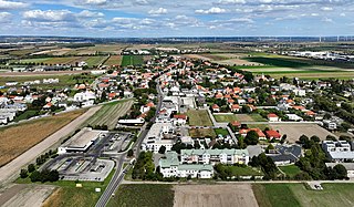
Deutsch-Wagram, often shortened to Wagram, is a village in the Gänserndorf District, in the state of Lower Austria, Austria. It is in the Marchfeld Basin, close to the Vienna city limits, about 15 km northeast of the city centre.

Frauenkirchen is an Austrian town in the district of Neusiedl am See, Burgenland.

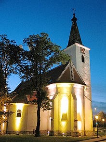
Lackenbach is an Austrian municipality in the District of Oberpullendorf, Burgenland.

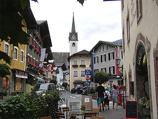
Thörl is a market town at the foot of the Hochschwab in the Styrian district of Bruck-Mürzzuschlag.

Tulln an der Donau is a historic town in the Austrian state of Lower Austria, the administrative seat of Tulln District. Because of its abundance of parks and gardens, Tulln is often referred to as Blumenstadt, and "The City of Togetherness" following the initiative of Peter Eisenschenk, Mayor of Tulln.

Moosburg is a market town in the Klagenfurt-Land district in the Austrian state of Carinthia.

Pörtschach am Wörthersee is a municipality in the district of Klagenfurt-Land in Carinthia, Austria. It is an established summer resort and lakeside town on Wörthersee.

St. Georgen am Längsee is a municipality in the district of St. Veit an der Glan in Carinthia, Austria.

Wernberg is a municipality in the district of Villach-Land in the Austrian state of Carinthia.

Heiligenkreuz is a municipality in the district of Baden, in the Austrian state of Lower Austria. It is known for the Cistercian monastery of Heiligenkreuz Abbey, the associated papal college Benedict XVI, commonly known as Hochschule Heiligenkreuz, and the Catholic Leopoldinum seminary.

Groß-Enzersdorf is a town and municipality in the district of Gänserndorf in the Austrian state of Lower Austria, directly east of Vienna and north of the river Danube. Apart from the town itself, it also comprises seven subordinated municipalities.
Golling an der Salzach is a market town in the Hallein district of Salzburg, Austria.

Kuchl is a market town in the Hallein district of Salzburg, Austria.

Untertauern is a municipality in the district of St. Johann im Pongau in the Austrian state of Salzburg.

Langenrohr is a municipality in the district of Tulln in Lower Austria, Austria. The municipality has 2309 inhabitants as of 1 January 2013.
Gerasdorf bei Wien is a town in the district of Korneuburg in the Austrian state of Lower Austria. The city has 10,862 inhabitants.

Schwarzautal is a market town since 2015 with 2,299 residents in the Leibnitz District of Styria, Austria.