Ipswich is a port town and borough in Suffolk, England, of which it is the county town. The town is located in East Anglia about 9.9 mi (16 km) away from the mouth of the River Orwell and the North Sea. Ipswich is both on the Great Eastern Main Line railway and the A12 road; it is 67 mi (108 km) north-east of London, 45 mi (72 km) east-southeast of Cambridge and 40 mi (64 km) south of Norwich. Ipswich is surrounded by two Areas of Outstanding Natural Beauty (AONB): Suffolk Coast and Heaths and Dedham Vale.

The A12 is a major road in Eastern England. It runs north-east/south-west between London and the coastal town of Lowestoft in the north-eastern corner of Suffolk, following a similar route to the Great Eastern Main Line until Ipswich. A section of the road between Lowestoft and Great Yarmouth became part of the A47 in 2017. Between the junctions with the M25 and the A14, the A12 forms part of the unsigned Euroroute E30. Unlike most A roads, this section of the A12, together with the A14 and the A55, has junction numbers as if it were a motorway.
Ipswich Town Football Club is a professional association football club based in Ipswich, Suffolk, England. They play in League One, the third tier of the English football league system.

The Great Eastern Main Line is a 114.5-mile (184.3 km) major railway line on the British railway system which connects Liverpool Street station in central London with destinations in east London and the East of England, including Shenfield, Chelmsford, Colchester, Ipswich and Norwich. Its numerous branches also connect the main line to Southminster, Braintree, Sudbury, Harwich and a number of coastal towns including Southend-on-Sea, Clacton-on-Sea, Walton-on-the-Naze and Lowestoft.

Route 1A is a north–south state highway in Massachusetts. It is an alternate route to U.S. 1 with three signed sections and two unsigned sections where the highway is concurrent with its parent. Due to the reconfiguration of tunnel interchanges brought on by the completion of the Big Dig, Route 1A is discontinuous in the downtown Boston area. Vehicles entering Downtown Boston via the Sumner Tunnel must take I-93 north to the exit for Government Center and make a U-turn to access the entrance ramp to I-93 south and vice versa.

Portman Road is a football stadium in Ipswich, Suffolk, England, which has been the home ground of Ipswich Town F.C. since 1884. The stadium has also hosted many England youth international matches, and one senior England friendly international match, against Croatia in 2003. It staged several other sporting events, including athletics meetings and international hockey matches, musical concerts and Christian events.

The Vienna Ring Road is a 5.3 km circular grand boulevard that serves as a ring road around the historic Innere Stadt district of Vienna, Austria. The road is located on sites where medieval city fortifications once stood, including high walls and the broad open field ramparts (glacis), criss-crossed by paths that lay before them.

New Hampshire Route 45 is a 5.981-mile-long (9.625 km) north–south state highway in southern New Hampshire. It runs from Greenville to Temple.

New Hampshire Route 119 is a state highway in the U.S. state of New Hampshire. The highway begins in Hinsdale at the Connecticut River, across which the highway continues into Brattleboro, Vermont, as Vermont Route 119 for 0.080 miles (0.129 km) to its terminus at U.S. Route 5 and VT 142. NH 119 heads east 39.908 miles (64.226 km) to the Massachusetts state line in New Ipswich, where the highway continues as Massachusetts Route 119. The state highway is the main east–west highway of southern Cheshire County, where it connects the towns of Hinsdale, Winchester, Richmond, Fitzwilliam, and Rindge.

New Hampshire Route 123 is a 63.055-mile-long (101.477 km) secondary north–south state highway in southwestern New Hampshire. The southern terminus of the route is at the Massachusetts state line in Mason where, as Mason Road, the road continues as an unnumbered local road in the town of Townsend. The northern terminus, as signed, is at the Connecticut River, where the highway continues west for 0.313 miles (0.504 km) to U.S. Route 5 in Westminster, Vermont, as Vermont Route 123. Route logs, however, place the terminus at New Hampshire Route 12 in Walpole.

New Hampshire Route 124 is a 28.083-mile-long (45.195 km) east–west highway in southern New Hampshire, United States. It runs from Marlborough to the Massachusetts border.

Route 62 is an 82.1817-mile-long (132.2586 km) east–west state route in Massachusetts. The route crosses four of the Bay State's 13 interstates, as well as U.S. Route 1, US 3, Route 2 and Highway 128 as it heads from the northern hills of Worcester County through the northern portions of Greater Boston, ending in the North Shore city of Beverly at Route 127.
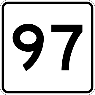
Route 97 is a south–north highway in Essex County in northeastern Massachusetts, United States. It connects the cities of Beverly and Haverhill before continuing into Salem, New Hampshire as New Hampshire Route 97.

Route 133 is a 40.87-mile-long (65.77 km) east–west Massachusetts state route that runs from Route 38 and Route 110 in Lowell to Route 127 in Gloucester.

Ipswich Road is major road in the City of Brisbane, Queensland, Australia. The road has been an important transport route since the 19th century when it connected the towns of Brisbane and Ipswich. In the 1990s, the section from Moorooka in Brisbane to Riverview in Ipswich was replaced by the Ipswich Motorway.
The IP postcode area, also known as the Ipswich postcode area, is a group of 33 postcode districts in the east of England, within 15 post towns. These cover most of Suffolk, plus southern Norfolk and a very small part of Cambridgeshire.

Purdis Farm is a civil parish, in the East Suffolk district, in the English county of Suffolk. It is located on the eastern edge of Ipswich and includes areas of suburban housing and industrial development along the A1156, including the area of Warren Heath. In 2001 the population of the area was 1743, the population increasing to 2,092 at the 2011 Census.

The A1071 road is 16.5 miles (26.6 km) long and runs from the A134 near Sudbury to Ipswich.
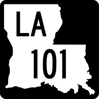
Louisiana Highway 101 (LA 101) is a state highway located in southwestern Louisiana. It runs 17.28 miles (27.81 km) in a general north–south direction from LA 14 in Hayes to LA 383 north of Iowa.

The Ipswich Street line was a streetcar line in Boston and Brookline, Massachusetts. The line ran on Boylston Street and Ipswich Street in the Fenway–Kenmore neighborhood, and on Brookline Avenue through what is now the Longwood Medical Area to Brookline Village.