Related Research Articles
Shona is a Bantu language of the Shona people of Zimbabwe. The term is variously used to collectively describe all the Central Shonic varieties or specifically Standard Shona, a variety codified in the mid-20th century. Using the broader term, the language is spoken by over 14,000,000 people.

Mashonaland Central is a province of Zimbabwe. It has an area of 28,347 km2 and a population of 1,384,891, representing about 9.1% of the total Zimbabwe population.

Aylesbury is a constituency represented in the House of Commons of the UK Parliament since 2019 by Rob Butler of the Conservative Party.
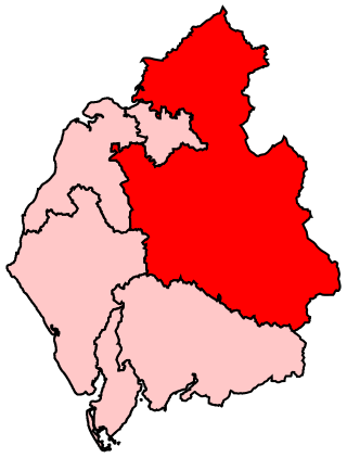
Penrith and The Border is a constituency in Cumbria represented in the House of Commons of the UK Parliament since 2019 by Neil Hudson, a Conservative.

Hooghly district is one of the districts of the Indian state of West Bengal. It can alternatively be spelt Hoogli or Hugli. The district is named after the Hooghly River.

North 24 Parganas (abv. 24 PGS (N)) or sometimes North Twenty Four Parganas is a district in southern West Bengal, of eastern India. North 24 Parganas extends in the tropical zone from latitude 22° 11′ 6″ north to 23° 15′ 2″ north and from longitude 88º20' east to 89º5' east. Barasat is the district headquarters of North 24 Parganas. North 24 Parganas is West Bengal's most populous district and also (since 2014) the most populated district in the whole of India. It is the tenth-largest district in the State by area.
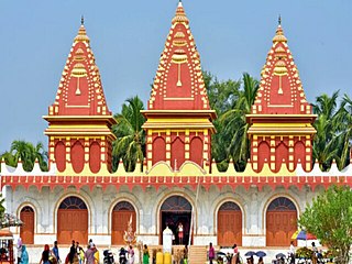
South 24 Parganas (Pron: pɔrɡɔnɔs; abbr. 24 PGS (S)), or sometimes South Twenty Four Parganas and Dakshin 24 Parganas, is a district in the Indian state of West Bengal, headquartered in Alipore. It is the largest district of West Bengal by area and second largest by population. It is the sixth most populous district in India (out of 640). On one side of the district there is the urban fringe of Kolkata, and on the other the remote riverine villages in the Sundarbans.
Wedza is a district in the province of Mashonaland East, Zimbabwe. It is located about 50 kilometres (31 mi) south of Marondera, and 127 kilometres (79 mi) south of Harare. The area was sparsely inhabited by the Mbire people of the Soko Clan as early inhabitants who mined iron in the Hwedza hills during the 9th-12th centuries which means "a place of wealth". A village of Wedza was established in 1910 by Colonial administration. Gold, beryl, nickel, tungsten and grayite were mined in the hills around the village but deposits were too small to make further commercial mining viable.

The Republic of Zimbabwe is broken down into 10 administrative provinces, which are divided into 64 districts and 1,970 wards.
Guruve is a village and centre of Guruve District, Zimbabwe.
David Butau was a member of parliament of Zimbabwe representing the district of Guruve North. He was chairman of the parliamentary Portfolio Committee on Budget and Finance.
Mushumbi Pools is a business centre in Mushumbi pools Mbire District, north of Guruve in Mashonaland Central province in Zimbabwe.
Charles Magezi Mbire is a businessman, entrepreneur, and industrialist in Uganda. He was reported to be the wealthiest indigenous Ugandan, with an estimated net worth exceeding US$200 million as of January 2012.
Mufakose is the totem of the [Zumba] Shona people of central Zimbabwe who settled in the Mazoe valley in the early nineteenth century. Three brothers of Mhofu totem Shayachimwe Mukombami, Nyakudya Chiweshe and Gutsa left their ancestral lands under Nyashanu in Buhera after domestic issues. After settling down in the Harare-Mazoe area.
Mbire District is a district of the Province Mashonaland Central in Zimbabwe. It is the namesake of the early dinosaur Mbiresaurus, which was discovered in Mbire District.
Tereza Mbire is a Ugandan entrepreneur, presidential advisor and advocate. She is a co-founder of the Uganda Women's Finance and Credit Trust and founder of the Uganda Women Entrepreneurs' Association Ltd.
Mbiresaurus is an extinct genus of basal sauropodomorph dinosaur from the Late Triassic (Carnian) Pebbly Arkose Formation of Zimbabwe. The genus contains a single species, Mbiresaurus raathi, known from a nearly complete skeleton. Mbiresaurus represents one of Africa’s earliest known definitive dinosaurs.
References
- ↑ "Guruve District". GeoNameId : 890599. geonames.org. Retrieved 15 June 2009.
Capital: Guruve | |
| Rivers | |
| Landforms | |
| Settlements | |
| Protected areas | |
| Education |
|
| Culture and sport | |
| Notable people | |
| Constituencies | |
| International | |
|---|---|
| National | |
| | This Zimbabwe location article is a stub. You can help Wikipedia by expanding it. |