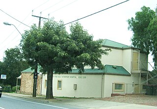
Tea Tree Gully (TTG) is a suburb in the greater Adelaide, South Australia area, under the City of Tea Tree Gully. Tea Tree Gully is in the City of Tea Tree Gully local government area, the South Australian House of Assembly electoral district of Newland and the Australian House of Representatives Division of Makin.
Ferntree Gully is a suburb of Melbourne, Victoria, Australia, at the foothills of the Dandenong Ranges, 30 km South east of Melbourne's Central Business District, located within the City of Knox local government area. Ferntree Gully recorded a population of 26,428 at the 2016 Census.

Bassendean is a north-eastern suburb of Perth, Western Australia. Its local government area is the Town of Bassendean.

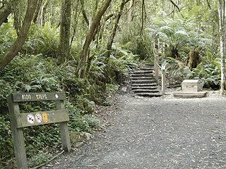
Waterfall Gully is an eastern suburb of the South Australian capital city of Adelaide. It is located in the foothills of the Mount Lofty Ranges around 5 km (3.1 mi) east-south-east of the Adelaide city centre. For the most part, the suburb encompasses one long gully with First Creek at its centre and Waterfall Gully Road running adjacent to the creek. At the southern end of the gully is First Falls, the waterfall for which the suburb was named. Part of the City of Burnside, Waterfall Gully is bounded to the north by the suburb of Burnside, from the north-east to south-east by Cleland National Park, to the south by Crafers West, and to the west by Leawood Gardens and Mount Osmond.

Mount Richon is a suburb of Perth, Western Australia in the City of Armadale. Formerly part of Armadale and Wungong, Mount Richon was approved as a suburb in 2003. It occupies the western slope of the darling range from the intersection of the Albany and South Western Highways south to Leys Rise, is bounded on the west by the South-Western Highway and is bounded on the east by the Albany Highway and Bungendore Park. Mount Richon is named after a vineyard that formerly existed in the area.

Hackett is an inner north suburb of Canberra, the capital city of Australia. Located approximately 4.5 km (2.8 mi) north-east of the central business district, Hackett is adjacent to Watson, Dickson and Ainslie. It is bounded by Antill Street and Philip Avenue, and the Mount Majura Nature Reserve to the east. Hackett has a neighbourhood oval, and shopping centre.
Greenhill is a suburb of Adelaide located about 9.3 kilometres (5.8 mi) east of the city centre in the foothills of the Adelaide Hills. Its boundaries were created in October 2001 in respect of the “long established name” with some land being moved into the adjoining suburb of Waterfall Gully in July 2002. The suburb includes Greenhill Recreation Park and the western slopes of Mount Lofty. Greenhill Creek flows through Waterfall Gully and feeds into First Creek.
Mount Osmond is a small suburb of 2,497 people in the South Australian capital city of Adelaide. It is part of the City of Burnside local government area and located in the foothills of the Adelaide Hills, five kilometres south east of the city centre. The suburb is high on the hill of the same name, which is the last hill on the right when approaching Adelaide down the South Eastern Freeway before the road levels out onto the Adelaide Plains. It is bounded to the north by the suburb of Beaumont, to the north-east by Burnside, to the east by Waterfall Gully, to the south by Leawood Gardens/Eagle On The Hill, to the south-west by Urrbrae, to the west by Glen Osmond and to the north-west by St Georges.

Modbury is a suburb of Adelaide, South Australia in the City of Tea Tree Gully. Modbury is located at the end of the Adelaide O-Bahn and is home to the Tea Tree Plaza shopping complex and a Hospital.
Forreston is a locality near Adelaide, South Australia. It is located in the Adelaide Hills Council local government area 3 km northeast of Gumeracha.

Sir John Winthrop Hackett Sr., generally known as "Winthrop Hackett", was a proprietor and editor of several newspapers in Western Australia, a politician and a University chancellor.
Priestdale is a suburb in the City of Logan, Queensland, Australia. In the 2016 census, Priestdale had a population of 136 people.
Bar Point is a suburb of the Central Coast region of New South Wales, Australia, located on the north bank of the Hawkesbury River 53 kilometres (33 mi) north of Sydney. It is part of the Central Coast Council local government area.

Banksia Park is a north-eastern suburb located 20 km from the city centre of Adelaide, South Australia, within the City of Tea Tree Gully.

Kukerin is a small town in the Wheatbelt region of Western Australia, 302 kilometres (188 mi) south-east of Perth between Dumbleyung and Lake Grace just off Dumbleyung Lake Grace Road on State Route 107. The town itself is small but services a considerable agricultural region in the eastern Shire of Dumbleyung. At the 2016 census, Kukerin and its surrounding areas had a population of 166.

Rochedale is an outer southern suburb of the City of Brisbane, Queensland, Australia. It is 17 kilometres (11 mi) south-east of the Brisbane central business district. At the 2016 Australian Census the suburb recorded a population of 3,175. The suburb's western boundary is partially aligned with the Gateway Motorway and Bulimba Creek.
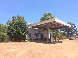
Rocky Gully is a small town in the Great Southern region of Western Australia.

California Gully is a suburb of Bendigo, Victoria, Australia. The suburb is located 5 kilometres (3.1 mi) north-west of the Bendigo city centre along Eaglehawk Road. At the 2016 census, California Gully had a population of 4,363.

Tenindewa is a small town located between Geraldton and Mullewa along the Geraldton – Mount Magnet Road in the Mid West region of Western Australia. At the 2006 census, the Tenindewa district had a population of 143.

Lanefield is a rural locality in the City of Ipswich, Queensland, Australia. In the 2016 census, Lanefield had a population of 107 people.
