
Thomasboro is a village in Champaign County, Illinois, United States. The population was 1,034 at the 2020 census.
Linn Grove is a city in Buena Vista County, Iowa, United States. The population was 163 at the time of the 2020 census. The nearby Chan-Ya-Ta Site contains the remains of a 1000-year-old prehistoric village, and is on the National Register of Historic Places.

Level Park–Oak Park is a census-designated place for statistical purposes in Calhoun County in the U.S. state of Michigan. The CDP population was 3,260 at the 2020 census. The CDP is immediately northwest of the city of Battle Creek and is part of the Battle Creek Metropolitan Statistical Area.

Deweese is a village in Clay County, Nebraska, United States. The population was 43 at the 2020 census. It is part of the Hastings, Nebraska Micropolitan Statistical Area.
Masonville is a town in Delaware County, New York, United States. The population was 1,239 at the 2020 census. The town is in the western part of the county.

Cold Brook is a village in Herkimer County, New York. The population was 329 at the time of the 2010 census. It is named after a stream passing through the village. The village is located in the south part of the town of Russia and is northeast of Utica.
Middleville is a village in Herkimer County, New York, United States. The population was 512 at the 2010 census.
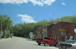
Barneveld is a hamlet located within the Town of Trenton in Oneida County, New York, United States. The population was 284 at the 2010 census, when it was an incorporated village. The name is derived from the name of the Dutch statesman Johan van Oldenbarnevelt (1547–1619).

Sylvan Beach is a village in Oneida County, New York, United States; in the southeastern end of the Town of Vienna. It is twenty-two miles west of Rome. At the 2010 census, the population of Sylvan Beach was 897.

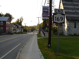
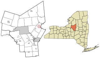
Trenton is a town in Oneida County, New York, United States. The population was 4,297 at the 2020 census.

Holland is a village in eastern Springfield Township, Lucas County, Ohio, United States. Holland is a suburb of Toledo. The population was 1,664 at the 2020 census.

Hometown is a village in Rush Township, Schuylkill County, Pennsylvania, United States that sits astride a crossing point between important transportation corridors. The population was 1,399 at the 2000 census, and excepting for the area near the east–west PA 54 running mostly parallel to the tracks of the Reading, Blue Mountain, and Northern Railroad — once the important east-west shortline Nesquehoning & Mahanoy Railroad — and the PA 54 junction with PA 309.

Matoaka is a census-designated place in Mercer County, West Virginia, United States. The population was 173 at the 2020 census. It is part of the Bluefield, WV-VA micropolitan area which has a population of 100,093. This town is named for Chief Powhatan's daughter Matoaka who was better known by her nickname "Pocahontas". Matoaka became an unincorporated town when it voted to dissolve its charter in May 2018.

Greene is a village in Chenango County, New York, United States. The population was 1,580 at the 2010 census. The village is named after General Nathanael Greene. It is within the town of Greene and is northeast of Binghamton.

Hancock is a village in Delaware County, New York, United States. The population was 908 at the 2020 census. The village is in the west part of the town of Hancock at the junction of NY Routes 17 and 97.

Madison is a village in Madison County, New York, United States. The population was 305 at the 2010 census. The village and its town are named after President James Madison.

Bridgewater is a hamlet in Oneida County, New York, United States. The population was 470 at the 2010 census.

New Hartford is a village in Oneida County, New York, United States. The population was 1,847 at the 2010 census. The name was provided by early settlers from New Hartford, Connecticut.

Remsen is a village in Oneida County, New York, United States. The population was 431 at the 2020 census.

Vernon is a village in Oneida County, New York, United States. The population was 1,172 at the 2010 census.

