
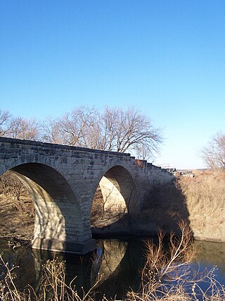
Hymer is a ghost town in Diamond Creek Township, Chase County, Kansas, United States. [1] It was located northwest of Strong City along Diamond Creek Rd.
Hymer is a ghost town in Diamond Creek Township, Chase County, Kansas, United States. [1] It was located northwest of Strong City along Diamond Creek Rd.
Hymer is a corruption of the surname of Frank and George Hegwer, original landowners. [2]
A post office was opened in Hymer in 1872, and remained in operation until it was discontinued in 1943. [3]
Hymer was a station on the Atchison, Topeka and Santa Fe Railway. In 1910, it contained a population of 30. [4]

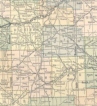
Morris County is a county located in the U.S. state of Kansas. As of the 2020 census, the county population was 5,386. The largest city and county seat is Council Grove.

Cedar Point is a city in Chase County, Kansas, United States. As of the 2020 census, the population of the city was 22. It is about 5 miles east of Florence and 0.5 miles south of U.S. Route 50 highway.

Cottonwood Falls is the largest city and county seat of Chase County, Kansas, United States. As of the 2020 census, the population of the city was 851. It is located south of Strong City along the south side of the Cottonwood River.

Strong City is a city in Chase County, Kansas, United States. Originally known as Cottonwood Station, in 1881 it was renamed Strong City after William Barstow Strong, then vice-president and general manager, and later president of the Atchison, Topeka and Santa Fe Railway. As of the 2020 census, the population of the city was 386. It is located along U.S. Route 50 highway.

Bazaar is an unincorporated community in Chase County, Kansas, United States. It is located about halfway between Strong City and Matfield Green near the intersection of K-177 highway and Sharps Creek Rd.

Diamond Creek Township is a township in Chase County, Kansas, United States. As of the 2000 census, its population was 237.

Beeler is an unincorporated community in Ness County, Kansas, United States. It lies along K-96, west of the city of Ness City, the county seat of Ness County. Its elevation is 2,490 feet (759 m), and it is located at 38°26′40″N100°11′41″W. It has a post office with the ZIP code 67518.

Thurman is a ghost town in Chase County, Kansas, United States. It was located southeast of Matfield Green in the rural Flint Hills.
Wonsevu is an unincorporated community in southwest Chase County, Kansas, United States. It is located at the intersection of Cedar Creek Rd and E Rd, which is 4.5 miles (7.2 km) north of the Chase-Butler county line and 3.75 miles (6.04 km) east of the Chase-Marion county line in the Flint Hills.
Cottonwood River is one of the principal tributaries of the Neosho River in central Kansas of the United States.
Floral is an unincorporated community in Cowley County, Kansas, United States.
Grand Summit is an unincorporated community in Cowley County, Kansas, United States.
Agricola is an unincorporated community in Coffey County, Kansas, United States.
Dundee is an unincorporated community in Barton County, Kansas, United States.
Ocheltree is an unincorporated community in Johnson County, Kansas, United States, and part of the Kansas City metropolitan area.
Hooser is an unincorporated community in Dexter Township, Cowley County, Kansas, United States. It is located at 37°08′18″N96°37′48″W.
Homewood is an unincorporated community in Franklin County, Kansas, United States.

Thrall is a ghost town in Greenwood County, Kansas, United States.
Bradford is a ghost town in Wabaunsee County, Kansas, United States. It was located between Eskridge and Harveyville.
Ellinor is a ghost town in Chase County, Kansas, United States. It was located southwest of Saffordville, where the BNSF Railway splits.
Municipalities and communities of Chase County, Kansas, United States | ||
|---|---|---|
| Cities |  | |
| Unincorporated communities | ||
| Ghost towns | ||
| Townships | ||
| Footnotes | ‡This community also has portions in an adjacent county or counties. | |
Coordinates: 38°29′10″N96°41′21″W / 38.48611°N 96.68917°W