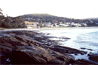
Bells Beach is a coastal locality of Victoria, Australia in Surf Coast Shire and a renowned surf beach, located 100 km south-west of Melbourne, on the Great Ocean Road near the towns of Torquay and Jan Juc.

Torquay is a seaside resort in Victoria, Australia, which faces Bass Strait, 21 km south of Geelong and is the gateway to the Great Ocean Road. It is bordered on the west by Spring Creek and its coastal features include Point Danger and Zeally Bay. At the 2021 census, Torquay had a population of 18,534.

Lorne is a seaside town on Louttit Bay in Victoria, Australia. It is situated about the Erskine River and is a popular destination on the Great Ocean Road tourist route. Lorne is in the Surf Coast Shire and at the 2016 census had a population of 1,114 but this figure grows during the holiday season.

Apollo Bay is a coastal town in southwestern Victoria, Australia. It is situated on the eastern side of Cape Otway, along the edge of the Barham River and on the Great Ocean Road, in the Colac Otway Shire. The town had a population of 1,790 at the 2021 census.

Jan Juc is a suburb of Torquay, Victoria. At the 2016 census, Jan Juc had a population of 3,683.

Kennett River is a small seaside town in Victoria, Australia.

Wye River is a small town in Victoria, Australia. It is also the name given to the waterway which flows through the town and into the sea at this point. Situated some 155 km west of Melbourne, on the Otway Coast part of the scenic Great Ocean Road, the Wye River township is a popular tourist destination about 15 km west of the resort town of Lorne, Victoria. It became a popular place for Melburnians to holiday after the Great Ocean Road was officially opened in 1932. The postcode of Wye River is 3234. At the 2016 census, Wye River had a permanent population of 66 although its holiday population is ten times that number.
Cape Otway is a cape and a bounded locality of the Colac Otway Shire in southern Victoria, Australia on the Great Ocean Road; much of the area is enclosed in the Great Otway National Park.

The Great Ocean Walk is a walking trail on Victoria's southwest coast in Australia, traversing several areas of historical and cultural significance. The track makes extensive usage of eco-friendly facilities; with Parks Victoria and tour guide operators attempting to raise environmental awareness. The trail meanders along high cliff tops and sandy beaches.

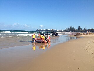
Surf Life Saving Australia (SLSA) is an Australian not-for-profit community organisation that promotes water safety and provides surf rescue services.

Dicky Beach is both a beach and coastal suburb of Caloundra in the Sunshine Coast Region, Queensland, Australia. In the 2016 census, Dicky Beach had a population of 1,895 people.
The Rip Curl Pro, formerly the Bells Beach Surf Classic, is a WSL World Tour surfing competition held in and around Torquay, Victoria and sponsored by surf company Rip Curl. The event is based at Bells Beach, Victoria, Australia. The event winner is awarded the prestigious 'Bell' trophy.
The Johanna River is a perennial river of the Corangamite catchment, located in the Otways region of the Australian state of Victoria.

The Cumberland River is a perennial river of the Corangamite catchment, located in the Otways region of the Australian state of Victoria.

Modewarre is a locality in the Surf Coast Shire, Victoria, Australia. The town adjoins Lake Modewarre. In the 2016 census, Modewarre had a population of 276 people.
Bambra is a rural locality in the Surf Coast Shire, Victoria, Australia. In the 2016 census, Bambra had a population of 101 people. It is named after an Aboriginal word for mushroom.
Eastern View is a locality in the Surf Coast Shire, Victoria, Australia.
Boonah is a rural locality in the Surf Coast Shire, Victoria, Australia.
Benwerrin is a rural locality in the Surf Coast Shire, Victoria, Australia.
Wongarra is a coastal locality in the Shire of Colac Otway, Victoria, Australia. In the 2016 census, Wongarra had a population of 37.


