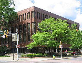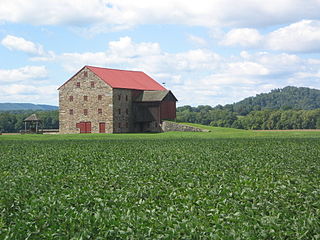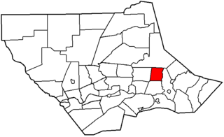
Sullivan County is a county located in the U.S. state of Pennsylvania. As of the 2010 census, the population was 6,428, making it the second-least populous county in Pennsylvania. Its county seat is Laporte. The county was created on March 15, 1847, from part of Lycoming County and named for Major General John Sullivan

Lycoming County is a county in the U.S. Commonwealth of Pennsylvania. As of the 2010 census, the population was 116,111. Its county seat is Williamsport.

Cascade Township is a township in Lycoming County, Pennsylvania, United States. The population was 420 at the 2020 census. It is part of the Williamsport, Pennsylvania Metropolitan Statistical Area.

Fairfield Township is a township in Lycoming County, Pennsylvania, United States. The population was 2,833 at the 2020 census. It is part of the Williamsport Metropolitan Statistical Area.

Gamble Township is a township in Lycoming County, Pennsylvania, United States. The population was 780 at the 2020 census, up from 756 in 2010. It is part of the Williamsport Metropolitan Statistical Area.

Garden View is a census-designated place (CDP) in Lycoming County, Pennsylvania, United States. The population was 2,503 at the 2010 census. It is part of the Williamsport Metropolitan Statistical Area.

Hepburn Township is a township in Lycoming County, Pennsylvania, United States. The population was 2,579 at the 2020 census. It is part of the Williamsport Metropolitan Statistical Area.

Loyalsock Township is a township in Lycoming County, Pennsylvania, United States. The population was 11,561 at the 2020 census. It is part of the Williamsport Metropolitan Statistical Area. It is the second largest municipality in Lycoming County, in terms of population, behind the county seat, Williamsport.

Lycoming Township is a township in Lycoming County, Pennsylvania, United States. The population was 1,490 at the 2020 census. It is part of the Williamsport Metropolitan Statistical Area.

Mill Creek Township is a township in Lycoming County, Pennsylvania, United States. The population was 580 at the 2020 census. It is part of the Williamsport Metropolitan Statistical Area.

Plunketts Creek Township is a township in Lycoming County, Pennsylvania, United States. It includes the villages of Barbours and Proctor. The population was 595 at the 2020 census, down from 684 at the 2010 census. It is part of the Williamsport Metropolitan Statistical Area.

Upper Fairfield Township is a township in Lycoming County, Pennsylvania, United States. The population was 1,807 at the 2020 census. It is part of the Williamsport Metropolitan Statistical Area.
Leola is a census-designated place (CDP) in Lancaster County, Pennsylvania, United States. It includes the unincorporated communities of Leola, Leacock, and Bareville, and prior to 2010 was known as the Leacock-Leola-Bareville census-designated place. Originally named "Mechanicsburg", its present name is a portmanteau of "Leacock" and the "Glenola" train station that once served the town. As of the 2010 census, the population of the CDP was 7,214.
Faxon is a census-designated place (CDP) in Loyalsock Township, Lycoming County, Pennsylvania, United States. As of the 2010 census, it had a population of 1,395. Faxon is not a separately incorporated community, but is a part of Loyalsock Township.
Oval is a census-designated place (CDP) in Limestone Township, Lycoming County, Pennsylvania, United States. As of the 2010 census, it had a population of 361. Oval is not a separately incorporated community, but is a part of Limestone Township.

Rauchtown is a census-designated place in Crawford Township, Clinton County, and a small portion in Limestone Township, Lycoming County, in the U.S. state of Pennsylvania. As of the 2010 census the population was 726.
Witmer is an unincorporated community and census-designated place (CDP) in East Lampeter Township, Lancaster County, Pennsylvania, United States. As of the 2010 census the population was 492.
Hebron is a census-designated place in South Lebanon Township, Lebanon County, Pennsylvania, Pennsylvania. As of the 2010 census the population was 1,305. The Lebanon County Prison is located within the CDP.
Leamersville is an unincorporated community and census-designated place (CDP) in Blair County, Pennsylvania, United States. It was first listed as a CDP prior to the 2020 census.
Linds Crossing is a census-designated place (CDP) in Blair County, Pennsylvania, United States. Comprising the unincorporated communities of Linds Crossing and Upper Reese, it was first listed as a CDP prior to the 2020 census.


