Roaring Branch, Pennsylvania | |
|---|---|
Unincorporated community | |
 Roaring Branch  Roaring Branch | |
| Coordinates: 41°33′56″N76°57′10″W / 41.56556°N 76.95278°W | |
| Country | United States |
| State | Pennsylvania |
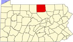
| Counties | Tioga, Lycoming |
| Townships | Union, McNett |
| Time zone | UTC-5 (Eastern (EST)) |
| • Summer (DST) | UTC-4 (EDT) |
| ZIP code | 17765 [1] |
| Area codes | 272 and 570 |

Roaring Branch is an unincorporated community in Tioga and Lycoming counties, Pennsylvania, United States. [2]