Lake Village, Arkansas | |
|---|---|
 Lake Village Commercial Historic District | |
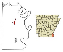 Location of Lake Village in Chicot County, Arkansas. | |
| Coordinates: 33°19′44″N91°17′05″W / 33.32889°N 91.28472°W | |
| Country | United States |
| State | Arkansas |
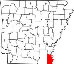
| County | Chicot |
| Area | |
• Total | 2.39 sq mi (6.19 km2) |
| • Land | 2.39 sq mi (6.19 km2) |
| • Water | 0.00 sq mi (0.00 km2) |
| Elevation | 121 ft (37 m) |
| Population (2020) | |
• Total | 2,065 |
• Estimate (2024) | 1,856 |
| • Density | 864.02/sq mi (333.65/km2) |
| Time zone | UTC-6 (CDT) |
| • Summer (DST) | UTC-5 (CDT) |
| ZIP code | 71653 |
| Area code | 870 |
| FIPS code | 05-38170 |
| GNIS feature ID | 2404868 [2] |
| Website | www |
Lake Village is a city in and the county seat of Chicot County, Arkansas, United States. [3] The population was 2,575 at the 2010 census. [4] It is located in the Arkansas Delta. Lake Village is named for its location on Lake Chicot, an oxbow lake formed by the Mississippi River.