Star City, Arkansas | |
|---|---|
 Clock tower on the town square | |
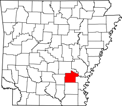
 Location of Star City in Lincoln County, Arkansas. | |
| Coordinates: 33°56′27″N91°50′24″W / 33.94083°N 91.84000°W | |
| Country | United States |
| State | Arkansas |
| County | Lincoln |
| Area | |
• Total | 4.80 sq mi (12.43 km2) |
| • Land | 4.80 sq mi (12.43 km2) |
| • Water | 0 sq mi (0.00 km2) |
| Elevation | 282 ft (86 m) |
| Population (2020) | |
• Total | 2,173 |
• Estimate (2024) | 2,067 |
| • Density | 453.0/sq mi (174.89/km2) |
| Time zone | UTC-6 (Central (CST)) |
| • Summer (DST) | UTC-5 (CDT) |
| ZIP code | 71667 |
| Area code | 870 |
| FIPS code | 05-66440 |
| GNIS feature ID | 2405522 [2] |
Star City is a city in and the county seat of Lincoln County, Arkansas, United States. [3] Incorporated in 1876, the city is located between the Arkansas Delta and the Arkansas Timberlands. With an economy historically based on agriculture, today Star City has developed a diverse economy based on both industry and agriculture. [4] As of the 2020 census, Star City had a population of 2,173. [5]