| Meghadri Gedda Reservoir | |
|---|---|
| Sri Dronam Raju Satyanarayana Reservoir Scheme | |
 Meghadri Gedda dam | |
 Meghadri Gedda Reservoir | |
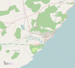
| Location | Visakhapatnam, India |
| Coordinates | 17°46′17″N83°11′02″E / 17.771376°N 83.183766°E |
| Type | reservoir |
| Managing agency | Greater Visakhapatnam Municipal Corporation |
Meghadri Gedda Reservoir, officially "Sri Dronam Raju Satyanarayana Reservoir Scheme" is a reservoir and dam in Visakhapatnam, India. It is one of the main water sources of the Visakhapatnam city. [1] Its capacity is 11 MGD and it is maintained by Greater Visakhapatnam Municipal Corporation. [2]